Cerro Las Piñas
Mountain · United States
Cerro Las Piñas is a mountain of the Sierra de Cayey located in the boundary between the municipalities of Caguas and Cayey in central Puerto Rico. The summit is located at 2,425 feet above sea level, in the barrios Beatriz of Caguas, and Beatriz and Guavate of Cayey.
From Wikipedia, CC BY-SA · Read the article
At the summit · forecast for 4:00 PM
77 °FMostly clear · wind 10 mph from the SE
 See it in 3D
Cerro Las Piñas weather forecast
- 4:00 PM77 °FSE 10 mph–
- 7:00 PM73 °FS 5 mph–
- 10:00 PM72 °FS 5 mph–
- 1:00 AM72 °FSE 4 mph–
- 4:00 AM71 °FSE 6 mph–
- 7:00 AM71 °FS 6 mph–
- 10:00 AM80 °FSE 7 mph–
- 1:00 PM83 °FSE 8 mph0.04 in
| Day | Sky | High / low | Rain | Wind up to |
|---|---|---|---|---|
| Wed, Oct 28 | Rain | 83 °F / 70 °F | 0.04 in | 9 mph |
| Thu, Oct 29 | Rain | 82 °F / 70 °F | 0.07 in | 10 mph |
| Fri, Oct 30 | Light rain | 82 °F / 69 °F | 0.05 in | 7 mph |
| Sat, Oct 31 | Partly cloudy | 79 °F / 70 °F | 0.09 in | 4 mph |
| Sun, Nov 1 | Rain | 78 °F / 70 °F | 0.22 in | 6 mph |
| Mon, Nov 2 | Cloudy | 77 °F / 70 °F | 0.15 in | 5 mph |
| Tue, Nov 3 | Partly cloudy | 78 °F / 71 °F | 0.24 in | 4 mph |
Forecast by MET Norway (CC BY 4.0), updated 03:17 PM AST. Times are local.
Facts
- What it is
- Mountain
- Country
- United States
- Coordinates
- 18.153°N 66.081°W
- Source
- Wikidata, CC0
Cerro Las Piñas
Mountain between Caguas and Cayey, Puerto Rico
Cerro Las Piñas is a mountain of the Sierra de Cayey located in the boundary between the municipalities of Caguas and Cayey in central Puerto Rico. The summit is located at 2,425 feet above sea level, in the barrios Beatriz of Caguas, and Beatriz and Guavate of Cayey. The summit offers panoramic views of the Valley of Caguas and Cayey.
From Wikipedia, CC BY-SA · Read the article
Peaks near Cerro Las Piñas
- Altos de San Luis633 ft · 14 km awayOn the map
- Cerro Las Tetas2,759 ft · 17 km awayOn the map
- Pico El Yunque3,543 ft · 35 km awayOn the map
- Los Picachos3,041 ft · 36 km awayOn the map
- Cerro Doña Juana3,471 ft · 42 km awayOn the map
- Cerro El Bolo3,527 ft · 43 km awayOn the map
- Cerro Rosa4,157 ft · 48 km awayOn the map
- Tres Picachos3,953 ft · 49 km awayOn the map
- Cerro Maravilla3,953 ft · 50 km awayOn the map
- Monte Jayuya4,314 ft · 52 km awayOn the map
Highest mountains in United States
- Denali20,308 ftOn the map
- Mount Saint Elias18,009 ftOn the map
- Mount Foraker17,402 ftOn the map
- Mount Bona16,535 ftOn the map
- Mount Blackburn16,390 ftOn the map
- Mount Sanford16,237 ftOn the map
- Mount Vancouver15,787 ftOn the map
- Mount Churchill15,636 ftOn the map
- Mount Fairweather15,325 ftOn the map
- Mount Hubbard14,951 ftOn the map
Webcams near Cerro Las Piñas

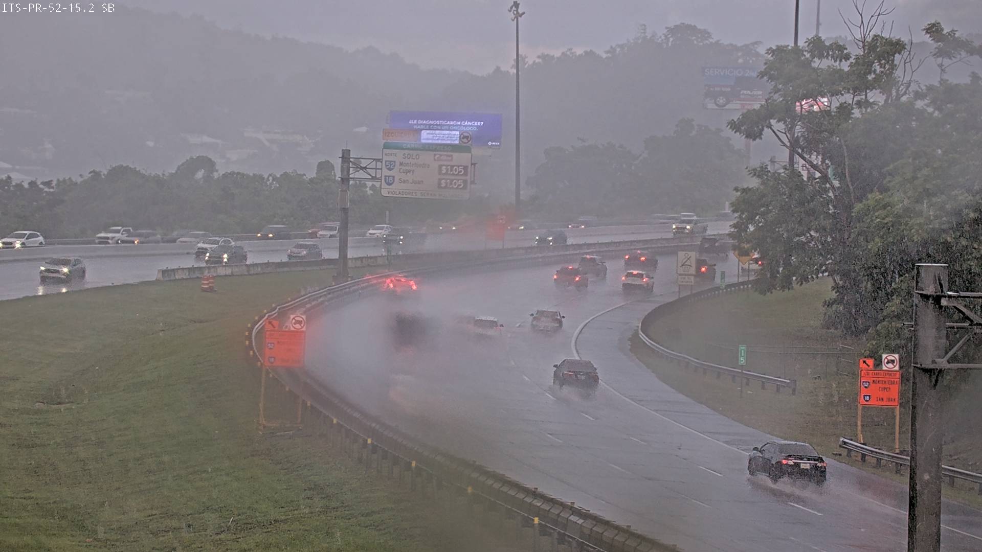
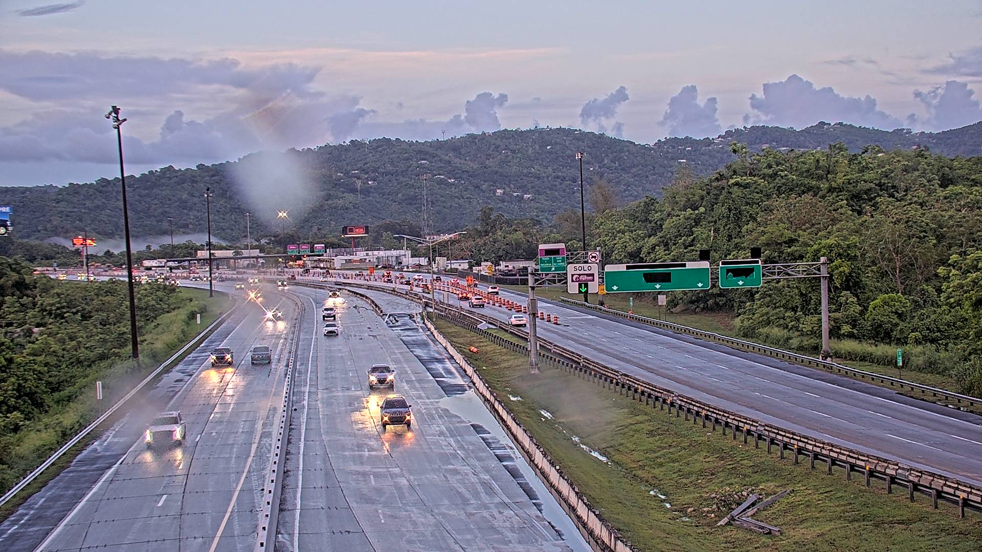

History around Cerro Las Piñas
- Masacre de Cayey1994