East Vidette
12,356 ft3,766 m
山 · アメリカ合衆国
East Vidette is a 12,356-foot-elevation (3,766-meter) mountain summit located two miles west of the crest of the Sierra Nevada mountain range, in the northeast corner of Tulare County in northern California.
出典: Wikipedia、CC BY-SA · 記事を読む
山頂 · 13:00 の予報
40 °F快晴 · 西の風 11 mph
 3D で見る
East Vidette 山頂の天気(12,356 ft)
- 13:0040 °F西 11 mph–
- 16:0036 °F西 9 mph–
- 19:0025 °F南西 3 mph–
- 22:0025 °F南西 2 mph–
- 1:0028 °F南西 3 mph–
- 4:0027 °F南西 2 mph–
- 7:0027 °F南西 1 mph–
- 10:0037 °F南西 4 mph–
| 日付 | 天気 | 最高 / 最低 | 雨 | 最大風速 |
|---|---|---|---|---|
| 10月28日(水) | 晴れ | 39 °F / 26 °F | – | 9 mph |
| 10月29日(木) | 晴れ時々曇り | 34 °F / 24 °F | 0.03 インチ | 11 mph |
| 10月30日(金) | 晴れ時々曇り | 28 °F / 17 °F | 0.03 インチ | 2 mph |
| 10月31日(土) | 晴れ | 27 °F / 16 °F | – | 3 mph |
| 11月1日(日) | 快晴 | 30 °F / 20 °F | – | 3 mph |
| 11月2日(月) | 快晴 | 39 °F / 24 °F | – | 2 mph |
| 11月3日(火) | 晴れ | 40 °F / 28 °F | – | 2 mph |
MET Norway(CC BY 4.0)による予報。02:21 GMT-7 更新。時刻は現地時間です。
基本データ
- 種類
- 山
- 標高
- 12,356 ft (3,766 m)
- 初登頂
- 1910
- 座標
- 36.743°N 118.400°W
East Vidette
Mountain summit of the Sierra Nevada mountain range, in Tulare County, California
East Vidette is a 12,356-foot-elevation (3,766-meter) mountain summit located two miles west of the crest of the Sierra Nevada mountain range, in the northeast corner of Tulare County in northern California. It is situated in Kings Canyon National Park, 12.5 miles (20.1 km) west-southwest of the community of Independence, and one mile southwest of the Kearsarge Pinnacles.
出典: Wikipedia、CC BY-SA · 記事を読む
East Vidette周辺の山
- University Peak13,595 ft · 3.5 km先地図上
- Mount Stanford13,979 ft · 4.4 km先地図上
- Mount Bago11,834 ft · 4.5 km先地図上
- Mount Rixford12,894 ft · 4.6 km先地図上
- Mount Ericsson13,589 ft · 5.3 km先地図上
- Caltech Peak13,832 ft · 6.1 km先地図上
- ジャンクション・ピーク13,894 ft · 6.6 km先地図上
- Mount Keith13,982 ft · 6.9 km先地図上
- Kearsarge Peak12,621 ft · 6.9 km先地図上
- Mount Brewer13,576 ft · 8.5 km先地図上
アメリカ合衆国の高い山
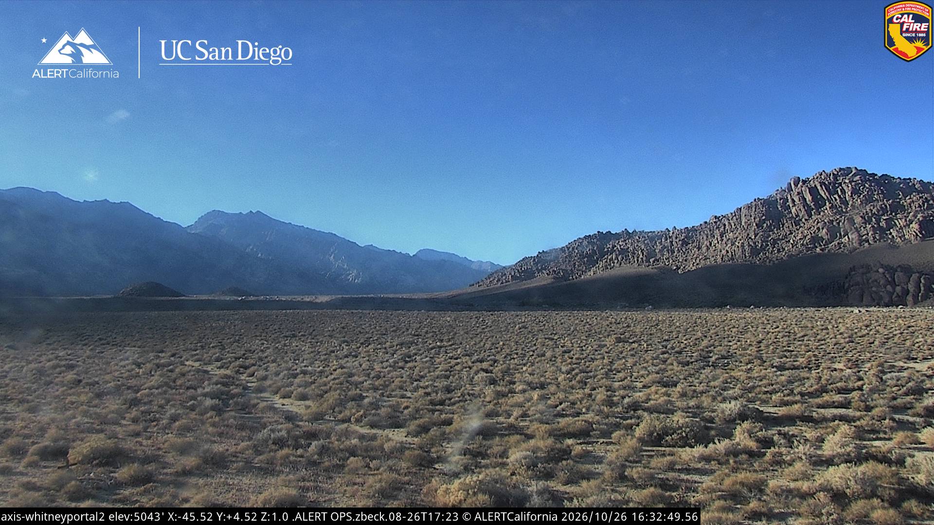
East Vidette周辺のライブカメラ
East Vidette周辺の町
- Woodlake73 km先