アメリカ合衆国の山
3D で見るExploration Peak
山 · アメリカ合衆国
Exploration Peak is a small peak in the unincorporated town of Enterprise, Nevada, United States in the planned community of Mountain's Edge just south of State Route 160. It is located within the eponymous Exploration Peak Park.
出典: Wikipedia、CC BY-SA · 記事を読む
山頂 · 14:00 の予報
77 °F快晴 · 南西の風 12 mph
Exploration Peakの天気予報
- 14:0077 °F南西 12 mph–
- 17:0076 °F南西 14 mph–
- 20:0066 °F南 9 mph–
- 23:0062 °F南 7 mph–
- 2:0058 °F南西 6 mph–
- 5:0056 °F南西 6 mph–
- 8:0059 °F南西 4 mph–
- 11:0070 °F東 6 mph–
| 日付 | 天気 | 最高 / 最低 | 雨 | 最大風速 |
|---|---|---|---|---|
| 10月28日(水) | 晴れ時々曇り | 78 °F / 55 °F | – | 10 mph |
| 10月29日(木) | 曇り | 74 °F / 57 °F | – | 9 mph |
| 10月30日(金) | 雨 | 63 °F / 55 °F | 0.2 インチ | 6 mph |
| 10月31日(土) | 雨 | 66 °F / 54 °F | 0.12 インチ | 5 mph |
| 11月1日(日) | 晴れ | 66 °F / 56 °F | 0.02 インチ | 5 mph |
| 11月2日(月) | 快晴 | 61 °F / 51 °F | – | 13 mph |
| 11月3日(火) | 快晴 | 63 °F / 49 °F | – | 2 mph |
MET Norway(CC BY 4.0)による予報。12:17 GMT-7 更新。時刻は現地時間です。
基本データ
- 種類
- 山
- 座標
- 36.017°N 115.259°W
Exploration Peak周辺の山
- Blue Diamond Hill4,954 ft · 15 km先地図上
- ブラックマウンテン (ネバタ州)5,093 ft · 22 km先地図上
- Mount Wilson7,071 ft · 22 km先地図上
- Potosi Mountain8,504 ft · 23 km先地図上
- Rainbow Mountain6,808 ft · 23 km先地図上
- Turtlehead Peak6,325 ft · 25 km先地図上
- Frenchman Mountain4,056 ft · 30 km先地図上
- Sunrise Mountain3,366 ft · 34 km先地図上
- Harris Mountain10,017 ft · 40 km先地図上
- Griffith Peak11,064 ft · 42 km先地図上
アメリカ合衆国の高い山
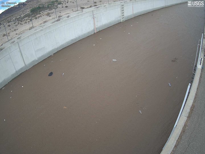
Exploration Peak周辺のライブカメラ
Exploration Peak周辺の歴史
- 2017 Las Vegas shooting2017
- Trump Hotel Tesla Cybertruck explosion2025
- United Airlines Flight 7361958
- 2023 University of Nevada, Las Vegas shooting2023
- British Airways Flight 22762015
- MGM Grand fire1980
- Frontier Airlines Flight 13262024
- The 2022 NFL draft is held in Las Vegas, with the Jacksonville Jaguars selecting former Georgia Bulldogs defensive end Travon Walker with the first overall-pick2022