Mountains in United States
See it in 3DExploration Peak
Mountain · United States
Exploration Peak is a small peak in the unincorporated town of Enterprise, Nevada, United States in the planned community of Mountain's Edge just south of State Route 160. It is located within the eponymous Exploration Peak Park.
From Wikipedia, CC BY-SA · Read the article
At the summit · forecast for 4:00 AM
56 °FPartly cloudy · wind 6 mph from the SW
Exploration Peak weather forecast
- 4:00 AM56 °FSW 6 mph–
- 7:00 AM55 °FSW 5 mph–
- 10:00 AM67 °FE 4 mph–
- 1:00 PM75 °FSE 8 mph–
- 4:00 PM78 °FS 9 mph–
- 7:00 PM69 °FS 9 mph–
- 10:00 PM63 °FSW 6 mph–
- 1:00 AM59 °FSW 3 mph–
| Day | Sky | High / low | Rain | Wind up to |
|---|---|---|---|---|
| Today | Mostly clear | 78 °F / 55 °F | – | 9 mph |
| Thu, Oct 29 | Cloudy | 74 °F / 57 °F | – | 7 mph |
| Fri, Oct 30 | Mostly clear | 72 °F / 55 °F | 0.21 in | 8 mph |
| Sat, Oct 31 | Light rain | 68 °F / 55 °F | 0.11 in | 6 mph |
| Sun, Nov 1 | Mostly clear | 65 °F / 54 °F | – | 13 mph |
| Mon, Nov 2 | Clear | 63 °F / 51 °F | – | 13 mph |
| Tue, Nov 3 | Clear | 67 °F / 52 °F | – | 5 mph |
Forecast by MET Norway (CC BY 4.0), updated 02:22 AM PDT. Times are local.
Facts
- What it is
- Mountain
- Country
- United States
- Coordinates
- 36.017°N 115.259°W
- Source
- Wikidata, CC0
Peaks near Exploration Peak
- Blue Diamond Hill4,954 ft · 15 km awayOn the map
- Black Mountain5,093 ft · 22 km awayOn the map
- Mount Wilson7,071 ft · 22 km awayOn the map
- Potosi Mountain8,504 ft · 23 km awayOn the map
- Rainbow Mountain6,808 ft · 23 km awayOn the map
- Turtlehead Peak6,325 ft · 25 km awayOn the map
- Frenchman Mountain4,056 ft · 30 km awayOn the map
- Sunrise Mountain3,366 ft · 34 km awayOn the map
- Harris Mountain10,017 ft · 40 km awayOn the map
- Griffith Peak11,064 ft · 42 km awayOn the map
Highest mountains in United States
- Denali20,308 ftOn the map
- Mount Saint Elias18,009 ftOn the map
- Mount Foraker17,402 ftOn the map
- Mount Bona16,535 ftOn the map
- Mount Blackburn16,390 ftOn the map
- Mount Sanford16,237 ftOn the map
- Mount Vancouver15,787 ftOn the map
- Mount Churchill15,636 ftOn the map
- Mount Fairweather15,325 ftOn the map
- Mount Hubbard14,951 ftOn the map
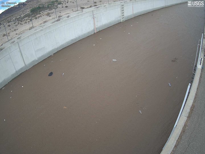
Webcams near Exploration Peak
History around Exploration Peak
- 2017 Las Vegas shooting2017
- Trump Hotel Tesla Cybertruck explosion2025
- United Airlines Flight 7361958
- 2023 University of Nevada, Las Vegas shooting2023
- British Airways Flight 22762015
- MGM Grand fire1980
- Frontier Airlines Flight 13262024
- The 2022 NFL draft is held in Las Vegas, with the Jacksonville Jaguars selecting former Georgia Bulldogs defensive end Travon Walker with the first overall-pick2022
Towns near Exploration Peak
- Enterprise1.7 km away
- Spring Valley10 km away
- Summerlin South13 km away
- Paradise13 km away
- Winchester18 km away
- Las Vegas21 km away