アメリカ合衆国の山
Independence Peak
11,716 ft3,571 m
山 · アメリカ合衆国
Independence Peak is an 11,742-foot-elevation (3,579-meter) mountain summit located one mile east of the crest of the Sierra Nevada mountain range, in Inyo County of northern California.
出典: Wikipedia、CC BY-SA · 記事を読む
山頂 · 14:00 の予報
43 °F晴れ · 東の風 7 mph
 3D で見る
Independence Peak 山頂の天気(11,716 ft)
- 14:0043 °F東 7 mph–
- 17:0039 °F東 4 mph–
- 20:0032 °F南西 1 mph–
- 23:0029 °F西 1 mph–
- 2:0026 °F北西 1 mph–
- 5:0025 °F西 1 mph–
- 8:0026 °F北西 1 mph–
- 11:0034 °F北東 4 mph–
| 日付 | 天気 | 最高 / 最低 | 雨 | 最大風速 |
|---|---|---|---|---|
| 10月29日(木) | 曇り | 40 °F / 25 °F | – | 8 mph |
| 10月30日(金) | 晴れ時々曇り | 36 °F / 24 °F | 0.04 インチ | 6 mph |
| 10月31日(土) | 雪 | 33 °F / 24 °F | 0.27 インチ | 2 mph |
| 11月1日(日) | 晴れ時々曇り | 35 °F / 21 °F | 0.02 インチ | 2 mph |
| 11月2日(月) | 晴れ | 40 °F / 21 °F | – | 2 mph |
| 11月3日(火) | 曇り | 44 °F / 29 °F | – | 1 mph |
| 11月4日(水) | 曇り | 44 °F / 32 °F | – | 1 mph |
MET Norway(CC BY 4.0)による予報。06:17 GMT-7 更新。時刻は現地時間です。
基本データ
- 種類
- 山
- 標高
- 11,716 ft (3,571 m)
- 座標
- 36.761°N 118.332°W
Independence Peak (California)
Mountain in the American state of California
Independence Peak is an 11,742-foot-elevation (3,579-meter) mountain summit located one mile east of the crest of the Sierra Nevada mountain range, in Inyo County of northern California. It is situated immediately south of Onion Valley on the eastern boundary of John Muir Wilderness, on land managed by Inyo National Forest.
出典: Wikipedia、CC BY-SA · 記事を読む
Independence Peak周辺の山
- University Peak13,595 ft · 2.9 km先地図上
- Kearsarge Peak12,621 ft · 3.4 km先地図上
- Mount Rixford12,894 ft · 6.5 km先地図上
- Mount Keith13,982 ft · 6.8 km先地図上
- ジャンクション・ピーク13,894 ft · 8.3 km先地図上
- Mount Stanford13,979 ft · 8.5 km先地図上
- Mount Bago11,834 ft · 9.5 km先地図上
- Caltech Peak13,832 ft · 9.5 km先地図上
- Mount Ericsson13,589 ft · 10 km先地図上
- Mount Baxter13,141 ft · 12 km先地図上
アメリカ合衆国の高い山
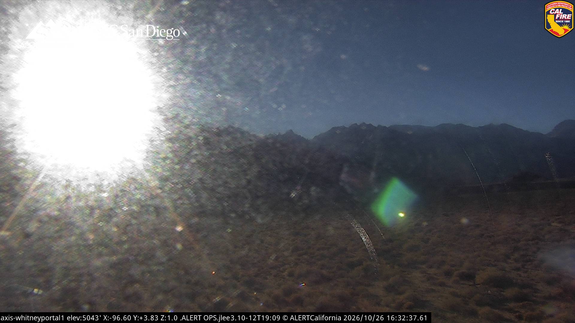
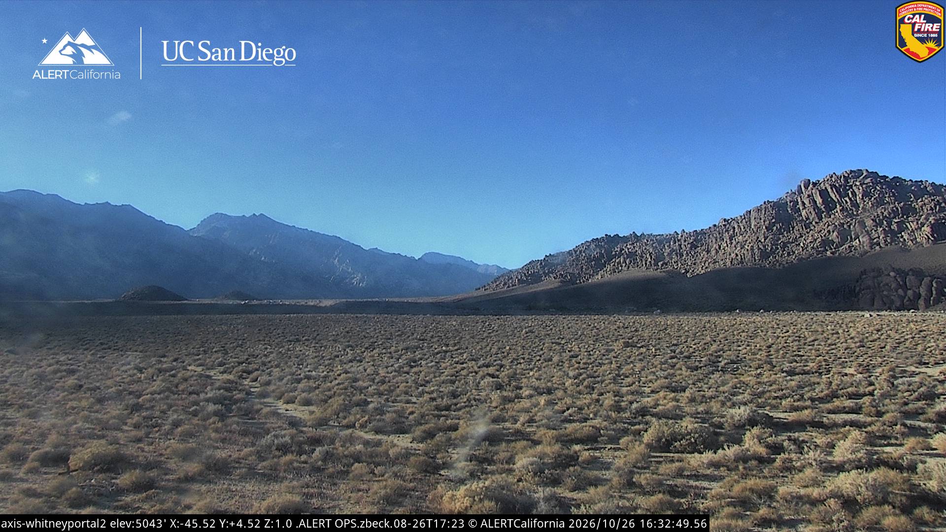
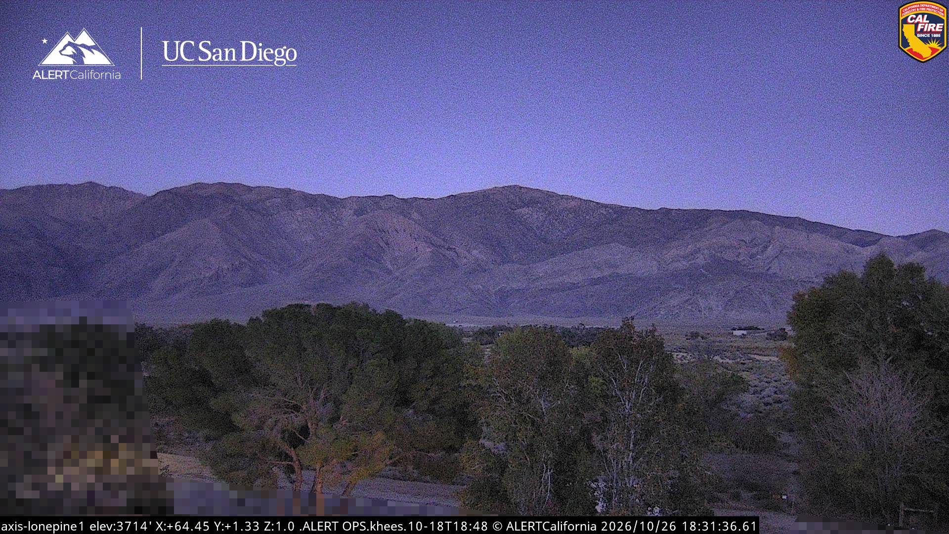
Independence Peak周辺のライブカメラ
Independence Peak周辺の歴史
Independence Peak周辺の町
- Woodlake79 km先