オーストリアの山
Kahlersberg
2,350 m7,710 ft
山 · ハーゲン山脈 · オーストリア · ドイツ
The Kahlersberg is a 2,350-metre-high (7,710 ft) mountain in the Northern Limestone Alps in the Berchtesgaden Alps on the border between Germany (Bavaria) and Austria (Salzburg).
出典: Wikipedia、CC BY-SA · 記事を読む
山頂 · 20:00 の予報
0 °C晴れ · 南の風 4 km/h
 3D で見る
Kahlersberg 山頂の天気(2,350 m)
- 20:000 °C南 4 km/h–
- 23:002 °C西 3 km/h–
- 2:002 °C北西 4 km/h–
- 5:001 °C北西 4 km/h–
- 8:002 °C北西 5 km/h–
- 11:002 °C北西 5 km/h2.1 mm
- 14:001 °C北西 6 km/h4 mm
- 17:00-0 °C北西 8 km/h4.2 mm
| 日付 | 天気 | 最高 / 最低 | 雨 | 最大風速 |
|---|---|---|---|---|
| 10月28日(水) | みぞれ | 3 °C / -2 °C | 12 mm | 9 km/h |
| 10月29日(木) | 曇り | 0 °C / -6 °C | – | 6 km/h |
| 10月30日(金) | 快晴 | 2 °C / -8 °C | – | 4 km/h |
| 10月31日(土) | 快晴 | 2 °C / -5 °C | – | 4 km/h |
| 11月1日(日) | 快晴 | -2 °C / -7 °C | – | 4 km/h |
| 11月2日(月) | 小雪 | -5 °C / -7 °C | 3.8 mm | 8 km/h |
| 11月3日(火) | 大雪 | -5 °C / -7 °C | 18 mm | 9 km/h |
MET Norway(CC BY 4.0)による予報。14:17 GMT+1 更新。時刻は現地時間です。
基本データ
- 種類
- 山
- 標高
- 2,350 m (7,710 ft)
- 山脈
- ハーゲン山脈
- 座標
- 47.531°N 13.032°E
Kahlersberg周辺の山
- Hoher Göll2,522 m · 7.5 km先地図上
- Grießkogel2,543 m · 7.7 km先地図上
- Schönfeldspitze2,653 m · 11 km先地図上
- Großer Hundstod2,594 m · 11 km先地図上
- ホーホケーニヒ2,941 m · 13 km先地図上
- Breithorn2,504 m · 13 km先地図上
- ホッホカルター2,607 m · 13 km先地図上
- Persailhorn2,347 m · 13 km先地図上
- Raucheck2,430 m · 15 km先地図上
- Schottmalhorn1,982 m · 18 km先地図上
ハーゲン山脈の最高峰
- Kahlersberg2,350 m地図上
- Schneibstein2,276 m地図上
- Feuerpalven1,728 m地図上
オーストリアの高い山
- グロースグロックナー山3,798 m地図上
- ヴィルトシュピッツェ3,768 m地図上
- ヴァイスクーゲル3,738 m地図上
- Großvenediger3,657 m地図上
- Hintere Schwärze3,624 m地図上
- Großes Wiesbachhorn3,564 m地図上
- Ramolkogel3,549 m地図上
- Schalfkogel3,537 m地図上
- ヴァッツェシュピッツェ3,532 m地図上
- フィンアイルシュピッツェ3,514 m地図上
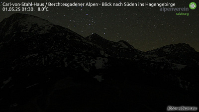
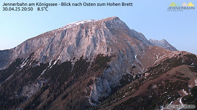
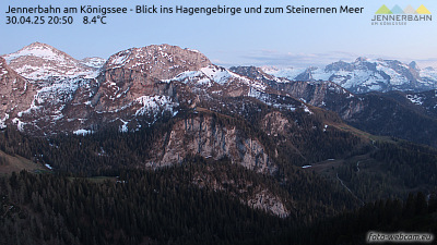
Kahlersberg周辺のライブカメラ

Kahlersberg周辺の歴史
Kahlersberg周辺の町
- Saalfelden am Steinernen Meer18 km先
- Bad Reichenhall25 km先
- Salzburg30 km先
- Freilassing35 km先
- Traunstein47 km先
- Traunreut58 km先