 See it in 3D

Facts
- What it is
- Mountain
- Height above sea level
- 2,350 m (7,710 ft)
- Range
- Hagen mountain range
- Coordinates
- 47.531°N 13.032°E
- Source
- Wikidata, CC0
Peaks near Kahlersberg
- Hoher Göll2,522 m · 7.5 km awayOn the map
- Grießkogel2,543 m · 7.7 km awayOn the map
- Schönfeldspitze2,653 m · 11 km awayOn the map
- Großer Hundstod2,594 m · 11 km awayOn the map
- Hochkönig2,941 m · 13 km awayOn the map
- Breithorn2,504 m · 13 km awayOn the map
- Hochkalter2,607 m · 13 km awayOn the map
- Persailhorn2,347 m · 13 km awayOn the map
- Raucheck2,430 m · 15 km awayOn the map
- Schottmalhorn1,982 m · 18 km awayOn the map
Highest in the Hagen mountain range
- Kahlersberg2,350 mOn the map
- Schneibstein2,276 mOn the map
- Feuerpalven1,728 mOn the map
Highest mountains in Austria
- Grossglockner3,798 mOn the map
- Wildspitze3,768 mOn the map
- Weißkugel3,738 mOn the map
- Großvenediger3,657 mOn the map
- Hintere Schwärze3,624 mOn the map
- Großes Wiesbachhorn3,564 mOn the map
- Ramolkogel3,549 mOn the map
- Schalfkogel3,537 mOn the map
- Watzespitze3,532 mOn the map
- Fineilspitze3,514 mOn the map
Webcams near Kahlersberg
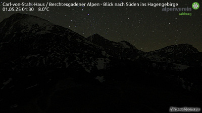 Carl-von-Stahl-Haus / Berchtesgadener Alpen - Blick nach Süden ins Hagengebirge4.9 km from the summit
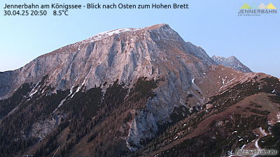 Jennerbahn am Königssee - Blick nach Osten zum Hohen Brett4.9 km from the summit
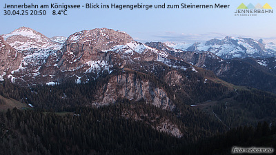 Jennerbahn am Königssee - Blick ins Hagengebirge und zum Steinernen Meer4.9 km from the summit
 Jenner Bergstation5 km from the summit
History around Kahlersberg
Towns near Kahlersberg
- Saalfelden am Steinernen Meer18 km away
- Bad Reichenhall25 km away
- Salzburg30 km away
- Freilassing35 km away
- Traunstein47 km away
- Traunreut58 km away