Langlitinden
1,276 m4,185 ft
山 · ノルウェー
Langlitinden is the highest mountain on the island of Andørja and is also the highest mountain on any Norwegian island. It is located on the northeastern part of the island in Ibestad Municipality in Troms county, Norway, just to the south of the Mjøsund Bridge and just northwest of the shore of the Astafjorden.
出典: Wikipedia、CC BY-SA · 記事を読む
山頂 · 7:00 の予報
-0 °C晴れ時々曇り · 南の風 12 km/h
Langlitinden 山頂の天気(1,276 m)
- 7:00-0 °C南 12 km/h–
- 10:00-1 °C南西 17 km/h–
- 13:00-1 °C南西 19 km/h–
- 16:00-1 °C南 15 km/h–
- 19:00-1 °C南 18 km/h–
- 22:000 °C南 18 km/h–
- 1:001 °C南 13 km/h1 mm
- 4:001 °C南 17 km/h1.1 mm
| 日付 | 天気 | 最高 / 最低 | 雨 | 最大風速 |
|---|---|---|---|---|
| 今日 | 曇り | 1 °C / -2 °C | – | 19 km/h |
| 10月28日(水) | 晴れ時々曇り | 1 °C / -3 °C | 2.8 mm | 41 km/h |
| 10月29日(木) | みぞれ | 0 °C / -4 °C | 4.4 mm | 45 km/h |
| 10月30日(金) | 曇り | 2 °C / 0 °C | 4.1 mm | 18 km/h |
| 10月31日(土) | 曇り | 2 °C / -1 °C | 4.1 mm | 32 km/h |
| 11月1日(日) | 雪 | -1 °C / -1 °C | 5.9 mm | 30 km/h |
| 11月2日(月) | 雪 | -1 °C / -3 °C | 9.2 mm | 31 km/h |
MET Norway(CC BY 4.0)による予報。04:30 GMT+1 更新。時刻は現地時間です。
基本データ
- 種類
- 山
- 標高
- 1,276 m (4,185 ft)
- プロミネンス
- 1,276 m (4,186 ft)
- 孤立度
- より高い地点まで 26 km
- 座標
- 68.868°N 17.387°E
Langlitinden
Mountain in Ibestad Municipality, Norway
Langlitinden is the highest mountain on the island of Andørja and is also the highest mountain on any Norwegian island. It is located on the northeastern part of the island in Ibestad Municipality in Troms county, Norway, just to the south of the Mjøsund Bridge and just northwest of the shore of the Astafjorden. The mountain is 1,276 m (4,186 ft) tall.
出典: Wikipedia、CC BY-SA · 記事を読む
Langlitinden周辺の山
- Gangsås52 m · 34 km先地図上
- Nupen412 m · 46 km先地図上
- Bjørnfjell761 m · 55 km先地図上
- Løksetinden1,241 m · 9.9 km先地図上
- Drangen1,022 m · 16 km先地図上
- Dudalstind1,276 m · 26 km先地図上
- Ruŋgugáisá1,458 m · 27 km先地図上
- Veten丘 · 29 km先地図上
- Novafjellet1,281 m · 30 km先地図上
- mountain-11894494山 · 32 km先地図上
ノルウェーの高い山
- ガルフピッゲン2,469 m地図上
- グリッテルティンデン2,464 m地図上
- Store Skagastølstind2,406 m地図上
- Surtningssue2,368 m地図上
- Store Memurutinden2,365 m地図上
- Store Hellstugutinden2,346 m地図上
- Store Knutsholstinden2,339 m地図上
- Tjørnholstind2,323 m地図上
- Bukkehøe2,314 m地図上
- ドブレフィエル2,286 m地図上
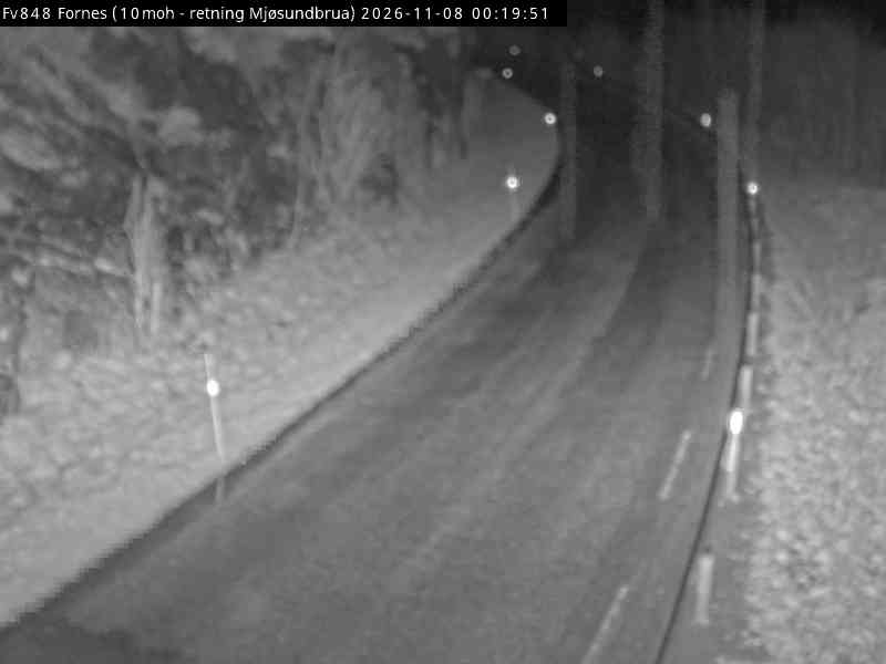
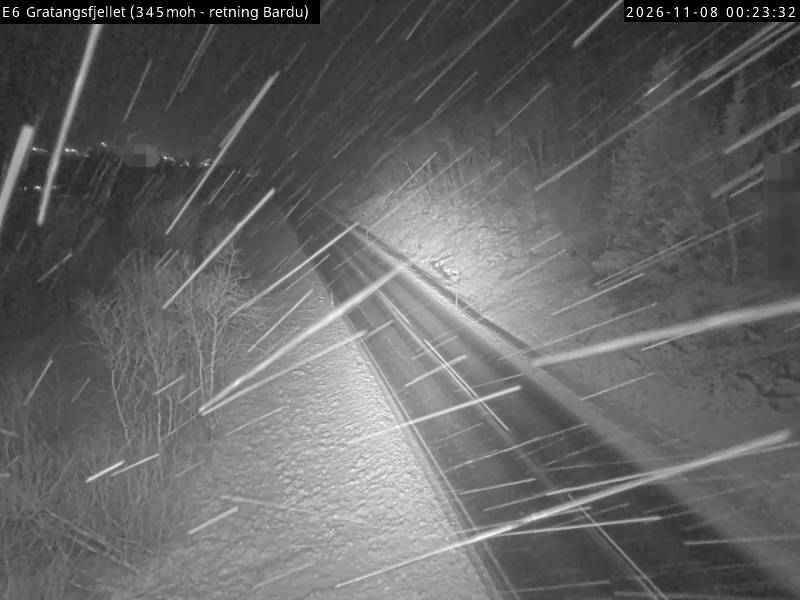
Langlitinden周辺のライブカメラ
Langlitinden周辺の町
- ハーシュタ35 km先