Langlitinden
1,276 米4,185 英尺
山 · 挪威
Langlitinden is the highest mountain on the island of Andørja and is also the highest mountain on any Norwegian island. It is located on the northeastern part of the island in Ibestad Municipality in Troms county, Norway, just to the south of the Mjøsund Bridge and just northwest of the shore of the Astafjorden.
来自Wikipedia,CC BY-SA · 阅读文章
山顶 · 1:00 的预报
2 °C阴 · 南风 17 km/h
Langlitinden山顶天气,1,276 米
- 1:002 °C南 17 km/h0.1 mm
- 4:001 °C西南 20 km/h1.4 mm
- 7:001 °C西南 20 km/h1.7 mm
- 10:00-1 °C西南 31 km/h–
- 13:00-1 °C西南 39 km/h–
- 16:00-2 °C西南 34 km/h–
- 19:00-3 °C南 32 km/h–
- 22:00-3 °C南 44 km/h–
| 日期 | 天气 | 最高 / 最低 | 雨 | 最大风速 |
|---|---|---|---|---|
| 今天 | 少云 | 2 °C / -3 °C | 3.2 mm | 45 km/h |
| 10月29日周四 | 小雪 | -2 °C / -4 °C | 2.3 mm | 43 km/h |
| 10月30日周五 | 阴 | 2 °C / -3 °C | 4.3 mm | 21 km/h |
| 10月31日周六 | 阴 | 2 °C / -0 °C | 3.4 mm | 34 km/h |
| 11月1日周日 | 中雪 | 0 °C / -1 °C | 8.4 mm | 34 km/h |
| 11月2日周一 | 中雪 | -1 °C / -2 °C | 9.7 mm | 33 km/h |
| 11月3日周二 | 阴 | -2 °C / -3 °C | 10.6 mm | 34 km/h |
预报来自 MET Norway(CC BY 4.0),更新于 GMT+1 16:30。时间均为当地时间。
基本信息
Langlitinden
Mountain in Ibestad Municipality, Norway
Langlitinden is the highest mountain on the island of Andørja and is also the highest mountain on any Norwegian island. It is located on the northeastern part of the island in Ibestad Municipality in Troms county, Norway, just to the south of the Mjøsund Bridge and just northwest of the shore of the Astafjorden. The mountain is 1,276 m (4,186 ft) tall.
来自Wikipedia,CC BY-SA · 阅读文章
Langlitinden附近的山峰
- Gangsås52 米 · 34 公里外地图上
- Nupen412 米 · 46 公里外地图上
- Bjørnfjell761 米 · 55 公里外地图上
- Løksetinden1,241 米 · 9.9 公里外地图上
- Drangen1,022 米 · 16 公里外地图上
- Dudalstind1,276 米 · 26 公里外地图上
- Ruŋgugáisá1,458 米 · 27 公里外地图上
- Veten丘陵 · 29 公里外地图上
- Novafjellet1,281 米 · 30 公里外地图上
- mountain-11894494山 · 32 公里外地图上
挪威最高的山
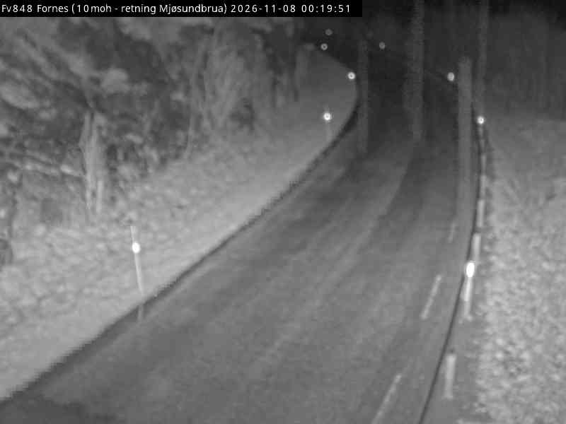
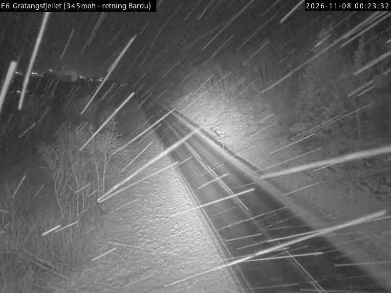
Langlitinden附近的网络摄像头
Langlitinden附近的城镇
- Harstad35 公里外