スイスの山
Lochberg
3,079 m10,102 ft
山 · ウルナー・アルプス山脈 · スイス
The Lochberg is a mountain of the Urner Alps, overlooking the Göscheneralpsee in the canton of Uri. It lies on the chain that separates the Göschenertal from the valley called Urseren, east of the Winterstock.
出典: Wikipedia、CC BY-SA · 記事を読む
山頂 · 2:00 の予報
-3 °C晴れ時々曇り · 北西の風 4 km/h
 3D で見る
Lochberg 山頂の天気(3,079 m)
- 2:00-3 °C北西 4 km/h–
- 5:00-6 °C北西 4 km/h–
- 8:00-4 °C西 4 km/h–
- 11:002 °C北西 4 km/h–
- 14:003 °C北西 4 km/h–
- 17:00-1 °C北西 4 km/h–
- 20:00-6 °C北西 5 km/h–
- 23:00-8 °C北西 8 km/h–
| 日付 | 天気 | 最高 / 最低 | 雨 | 最大風速 |
|---|---|---|---|---|
| 今日 | 晴れ時々曇り | 3 °C / -8 °C | – | 8 km/h |
| 10月28日(水) | 曇り | -2 °C / -9 °C | 0.3 mm | 9 km/h |
| 10月29日(木) | 快晴 | 1 °C / -10 °C | – | 5 km/h |
| 10月30日(金) | 快晴 | 0 °C / -9 °C | – | 6 km/h |
| 10月31日(土) | 快晴 | 0 °C / -12 °C | – | 6 km/h |
| 11月1日(日) | 快晴 | 2 °C / -9 °C | – | 4 km/h |
| 11月2日(月) | 快晴 | 2 °C / -9 °C | – | 4 km/h |
MET Norway(CC BY 4.0)による予報。00:19 GMT+1 更新。時刻は現地時間です。
基本データ
Lochberg周辺の山
- ダンマシュトック3,630 m · 6.2 km先地図上
- Galenstock3,586 m · 6.3 km先地図上
- Witenwasserenstock3,085 m · 11 km先地図上
- ティトリス3,238 m · 17 km先地図上
- Basòdino3,272 m · 24 km先地図上
- Blinnenhorn3,374 m · 26 km先地図上
- Oberaarhorn3,631 m · 27 km先地図上
- Lauteraarhorn4,042 m · 29 km先地図上
- ヴェッターホルン3,690 m · 29 km先地図上
- シュレックホルン4,078 m · 29 km先地図上
親ピーク
ウルナー・アルプス山脈の最高峰
- ダンマシュトック3,630 m地図上
- Sustenhorn3,503 m地図上
- Fleckistock3,417 m地図上
- ディーヒターホルン3,389 m地図上
- ティトリス3,238 m地図上
- Gross Spannort3,198 m地図上
- Schlossberg3,133 m地図上
- Lochberg3,079 m地図上
スイスの高い山
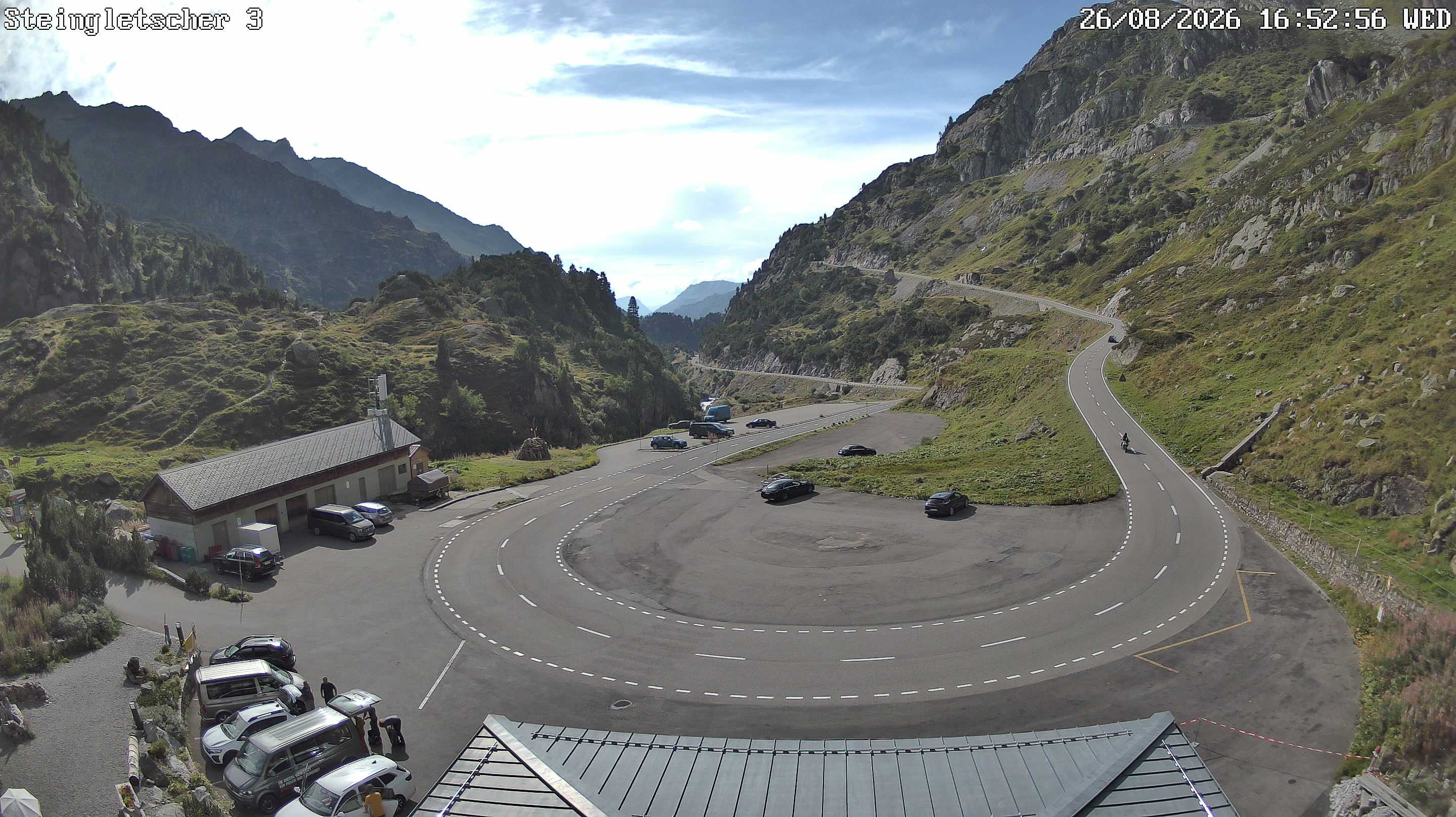
Lochberg周辺のライブカメラ

Lochberg周辺の歴史
- The Rhineland massacres: Members of the People's Crusade led by Count Emicho destroy most of the Jewish communities along the Rhine in a series of large…1096
- Göschenen riots1875
- Battle of Gotthard Pass1799
- Earthquake — Switzerland1601
- Battle of Ulrichen1211
- F/A-18 Absturz am Sustenpass2016
- Explosionsunglück am Steingletscher1992
- Lawinenunfall bei Wassen1888