Monte Padrio
2,153 m7,064 ft
山 · Sobretta-Gavia-Gruppe · イタリア
Monte Padrio is a mountain of Lombardy, Italy. It has an elevation of 2,153 metres. It is located between the Val Camonica and the Valtellina, in the towns of Tirano and Corteno Golgi. It is visible where the road from Edolo rises to the Aprica Pass, and can be reached through the road from Tirano.
出典: Wikipedia、CC BY-SA · 記事を読む
山頂 · 4:00 の予報
-2 °C快晴 · 南の風 3 km/h
 3D で見る
Monte Padrio 山頂の天気(2,153 m)
- 4:00-2 °C南 3 km/h–
- 7:00-3 °C南 3 km/h–
- 10:006 °C南 3 km/h–
- 13:0010 °C南 5 km/h–
- 16:009 °C南東 3 km/h–
- 19:003 °C南東 3 km/h–
- 22:001 °C南東 2 km/h–
- 1:00-1 °C南 3 km/h–
| 日付 | 天気 | 最高 / 最低 | 雨 | 最大風速 |
|---|---|---|---|---|
| 今日 | 快晴 | 11 °C / -3 °C | – | 5 km/h |
| 10月28日(水) | 快晴 | 12 °C / -2 °C | – | 7 km/h |
| 10月29日(木) | 晴れ時々曇り | 8 °C / -4 °C | – | 5 km/h |
| 10月30日(金) | 快晴 | 6 °C / -2 °C | 0.1 mm | 2 km/h |
| 10月31日(土) | 快晴 | 7 °C / -4 °C | – | 1 km/h |
| 11月1日(日) | 快晴 | 8 °C / -5 °C | – | 2 km/h |
| 11月2日(月) | 快晴 | 10 °C / -3 °C | – | 2 km/h |
MET Norway(CC BY 4.0)による予報。00:20 GMT+1 更新。時刻は現地時間です。
基本データ
- 種類
- 山
- 標高
- 2,153 m (7,064 ft)
- 山脈
- Sobretta-Gavia-Gruppe
- 国
- イタリア
- 座標
- 46.187°N 10.227°E
Monte Padrio
Mountain in Italy
Monte Padrio is a mountain of Lombardy, Italy. It has an elevation of 2,153 metres. It is located between the Val Camonica and the Valtellina, in the towns of Tirano and Corteno Golgi. It is visible where the road from Edolo rises to the Aprica Pass, and can be reached through the road from Tirano. Monte Padrio is known for its bicycle and hiking trails.
出典: Wikipedia、CC BY-SA · 記事を読む
Monte Padrio周辺の山
- アダメッロ山3,539 m · 21 km先地図上
- Pizzo Coca3,052 m · 21 km先地図上
- Scima da Saoseo3,264 m · 23 km先地図上
- Piz Varuna3,453 m · 26 km先地図上
- Piz Paradisin3,302 m · 28 km先地図上
- Piz Cambrena3,606 m · 29 km先地図上
- Piz Palü3,899 m · 30 km先地図上
- Piz Zupò3,995 m · 30 km先地図上
- Piz Argient3,943 m · 31 km先地図上
- ベラヴィスタ (山)3,921 m · 31 km先地図上
Sobretta-Gavia-Gruppeの最高峰
- Monte Sobretta3,296 m地図上
- Monte Gavia3,223 m地図上
- Monte Vallecetta3,148 m地図上
- Monte Padrio2,153 m地図上
イタリアの高い山
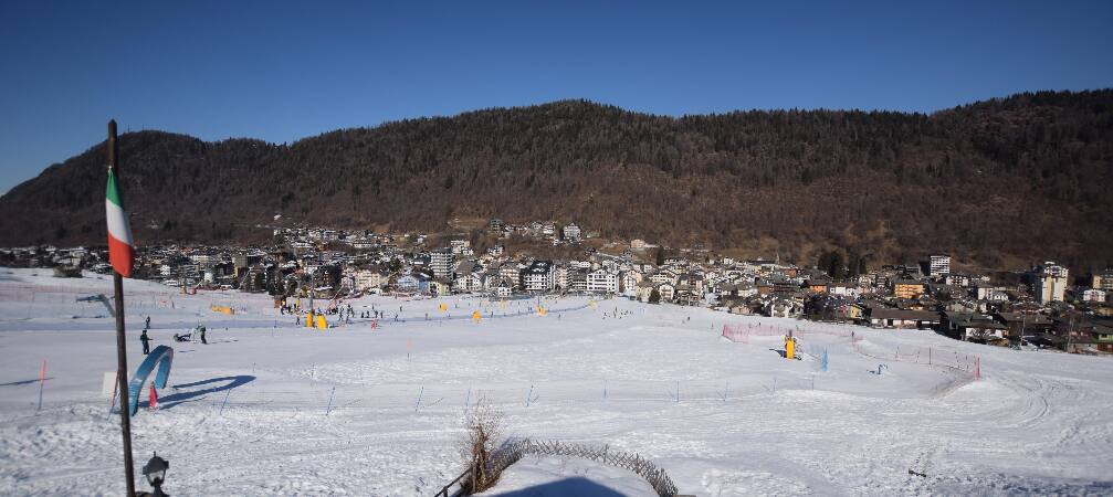
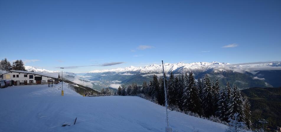
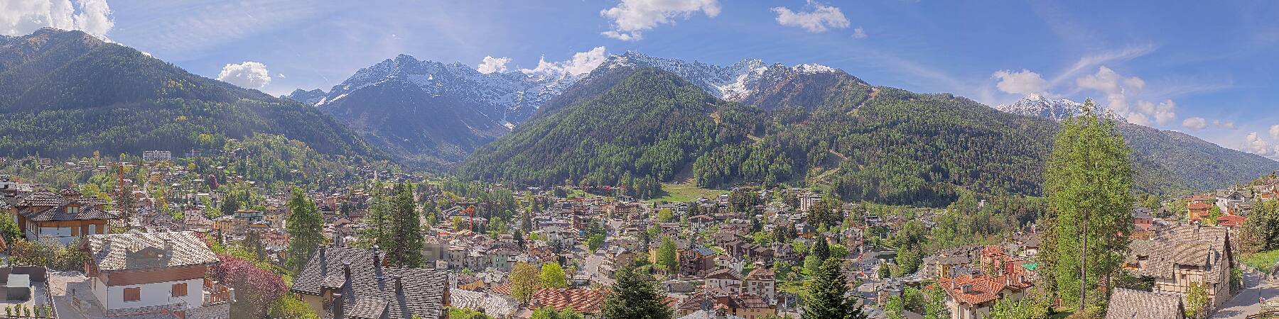
Monte Padrio周辺のライブカメラ

Monte Padrio周辺の歴史
Monte Padrio周辺の町
- Sondrio27 km先
- Riva del Garda58 km先
- San Sebastiano60 km先
- Lumezzane60 km先
- Seriate68 km先
- Bergamo70 km先