Monte Padrio
2,153 m7,064 ft
Mountain · Sobretta-Gavia-Gruppe · Italy
Monte Padrio is a mountain of Lombardy, Italy. It has an elevation of 2,153 metres. It is located between the Val Camonica and the Valtellina, in the towns of Tirano and Corteno Golgi. It is visible where the road from Edolo rises to the Aprica Pass, and can be reached through the road from Tirano.
From Wikipedia, CC BY-SA · Read the article
At the summit · forecast for 12:00 AM
0 °CPartly cloudy · wind 2 km/h from the S
 See it in 3D
Weather at the summit of Monte Padrio, 2,153 m
- 12:00 AM0 °CS 2 km/h–
- 3:00 AM-1 °CSW 3 km/h–
- 6:00 AM-2 °CS 3 km/h–
- 9:00 AM4 °CS 3 km/h–
- 12:00 PM10 °CS 4 km/h–
- 3:00 PM11 °CSE 5 km/h–
- 6:00 PM5 °CSE 2 km/h–
- 9:00 PM1 °CSE 2 km/h–
| Day | Sky | High / low | Rain | Wind up to |
|---|---|---|---|---|
| Today | Clear | 11 °C / -3 °C | – | 5 km/h |
| Wed, Oct 28 | Clear | 12 °C / -2 °C | – | 7 km/h |
| Thu, Oct 29 | Partly cloudy | 8 °C / -4 °C | – | 5 km/h |
| Fri, Oct 30 | Clear | 6 °C / -2 °C | 0.1 mm | 2 km/h |
| Sat, Oct 31 | Clear | 7 °C / -4 °C | – | 1 km/h |
| Sun, Nov 1 | Clear | 8 °C / -5 °C | – | 2 km/h |
| Mon, Nov 2 | Clear | 10 °C / -3 °C | – | 2 km/h |
Forecast by MET Norway (CC BY 4.0), updated 12:20 AM GMT+1. Times are local.
Facts
- What it is
- Mountain
- Height above sea level
- 2,153 m (7,064 ft)
- Range
- Sobretta-Gavia-Gruppe
- Country
- Italy
- Coordinates
- 46.187°N 10.227°E
- Source
- Wikidata, CC0
Monte Padrio
Mountain in Italy
Monte Padrio is a mountain of Lombardy, Italy. It has an elevation of 2,153 metres. It is located between the Val Camonica and the Valtellina, in the towns of Tirano and Corteno Golgi. It is visible where the road from Edolo rises to the Aprica Pass, and can be reached through the road from Tirano. Monte Padrio is known for its bicycle and hiking trails.
From Wikipedia, CC BY-SA · Read the article
Peaks near Monte Padrio
- Mount Adamello3,539 m · 21 km awayOn the map
- Pizzo Coca3,052 m · 21 km awayOn the map
- Scima da Saoseo3,264 m · 23 km awayOn the map
- Piz Varuna3,453 m · 26 km awayOn the map
- Piz Paradisin3,302 m · 28 km awayOn the map
- Piz Cambrena3,606 m · 29 km awayOn the map
- Piz Palü3,899 m · 30 km awayOn the map
- Piz Zupò3,995 m · 30 km awayOn the map
- Piz Argient3,943 m · 31 km awayOn the map
- Bellavista3,921 m · 31 km awayOn the map
Highest in the Sobretta-Gavia-Gruppe
- Monte Sobretta3,296 mOn the map
- Monte Gavia3,223 mOn the map
- Monte Vallecetta3,148 mOn the map
- Monte Padrio2,153 mOn the map
Highest mountains in Italy
- Mont Blanc4,806 mOn the map
- Lyskamm4,532 mOn the map
- Matterhorn4,478 mOn the map
- Pointe Walker4,208 mOn the map
- Grandes Jorasses4,208 mOn the map
- Dent d'Hérens4,173 mOn the map
- Breithorn4,160 mOn the map
- Monte Padrio2,153 mOn the map
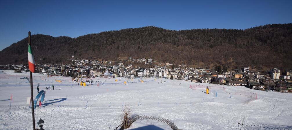
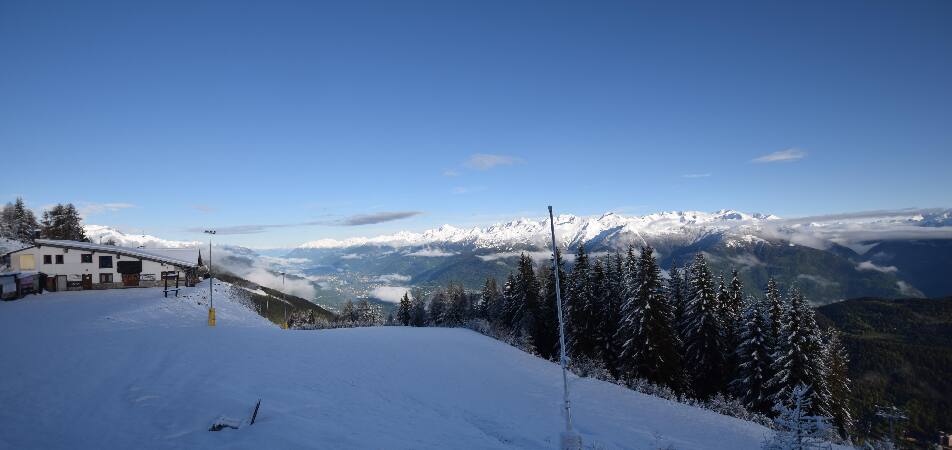
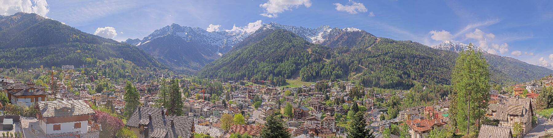
Webcams near Monte Padrio

History around Monte Padrio
Towns near Monte Padrio
- Sondrio27 km away
- Riva del Garda58 km away
- San Sebastiano60 km away
- Lumezzane60 km away
- Seriate68 km away
- Bergamo70 km away