ウィルソン山
1,741 ft531 m
山 · サンガブリエル山脈 · アメリカ合衆国
Mount Wilson is at the peak of the San Gabriel Mountains, located within the San Gabriel Mountains National Monument and Angeles National Forest in Los Angeles County, California.
出典: Wikipedia、CC BY-SA · 記事を読む
山頂 · 9:00 の予報
63 °F快晴 · 南東の風 3 mph
 3D で見る
ウィルソン山 山頂の天気(1,741 ft)
- 9:0063 °F南東 3 mph–
- 12:0068 °F南東 5 mph–
- 15:0070 °F南 6 mph–
- 18:0063 °F南 4 mph–
- 21:0057 °F北東 3 mph–
- 0:0055 °F北 3 mph–
- 3:0054 °F北 3 mph–
- 6:0054 °F北 2 mph–
| 日付 | 天気 | 最高 / 最低 | 雨 | 最大風速 |
|---|---|---|---|---|
| 今日 | 快晴 | 70 °F / 56 °F | – | 6 mph |
| 10月28日(水) | 晴れ時々曇り | 69 °F / 54 °F | – | 6 mph |
| 10月29日(木) | 晴れ時々曇り | 68 °F / 55 °F | 0.08 インチ | 7 mph |
| 10月30日(金) | 雨 | 59 °F / 53 °F | 0.25 インチ | 5 mph |
| 10月31日(土) | 小雨 | 59 °F / 54 °F | 0.07 インチ | 5 mph |
| 11月1日(日) | 晴れ | 67 °F / 53 °F | – | 4 mph |
| 11月2日(月) | 快晴 | 74 °F / 53 °F | – | 4 mph |
MET Norway(CC BY 4.0)による予報。02:21 GMT-7 更新。時刻は現地時間です。
基本データ
- 種類
- 山
- 標高
- 1,741 ft (531 m)
- 山脈
- サンガブリエル山脈
- 座標
- 34.224°N 118.062°W
Mount Wilson (California)
Mountain in California, United States
Mount Wilson is at the peak of the San Gabriel Mountains, located within the San Gabriel Mountains National Monument and Angeles National Forest in Los Angeles County, California. With only minor topographical prominence, the peak is not naturally noticeable from a distance, although it is easily identifiable due to the large number of antennas near its summit. It is a subsidiary peak of nearby San Gabriel Peak.
出典: Wikipedia、CC BY-SA · 記事を読む
ウィルソン山周辺の山
- San Gabriel Peak6,164 ft · 4 km先地図上
- ロウ山5,606 ft · 4.1 km先地図上
- Strawberry Peak6,167 ft · 8.5 km先地図上
- Vetter Mountain5,911 ft · 8.7 km先地図上
- Mount Lukens5,075 ft · 17 km先地図上
- Waterman Mountain8,041 ft · 17 km先地図上
- South Mount Hawkins7,786 ft · 25 km先地図上
- リー山1,708 ft · 26 km先地図上
- Cahuenga Peak1,821 ft · 26 km先地図上
- Throop Peak9,142 ft · 28 km先地図上
サンガブリエル山脈の最高峰
- Mount San Antonio10,069 ft地図上
- ベーデン=パウエル山9,407 ft地図上
- Telegraph Peak8,989 ft地図上
- Cucamonga Peak8,862 ft地図上
- Ontario Peak8,696 ft地図上
- Waterman Mountain8,041 ft地図上
- South Mount Hawkins7,786 ft地図上
- Strawberry Peak6,167 ft地図上
- ウィルソン山1,741 ft地図上
アメリカ合衆国の高い山
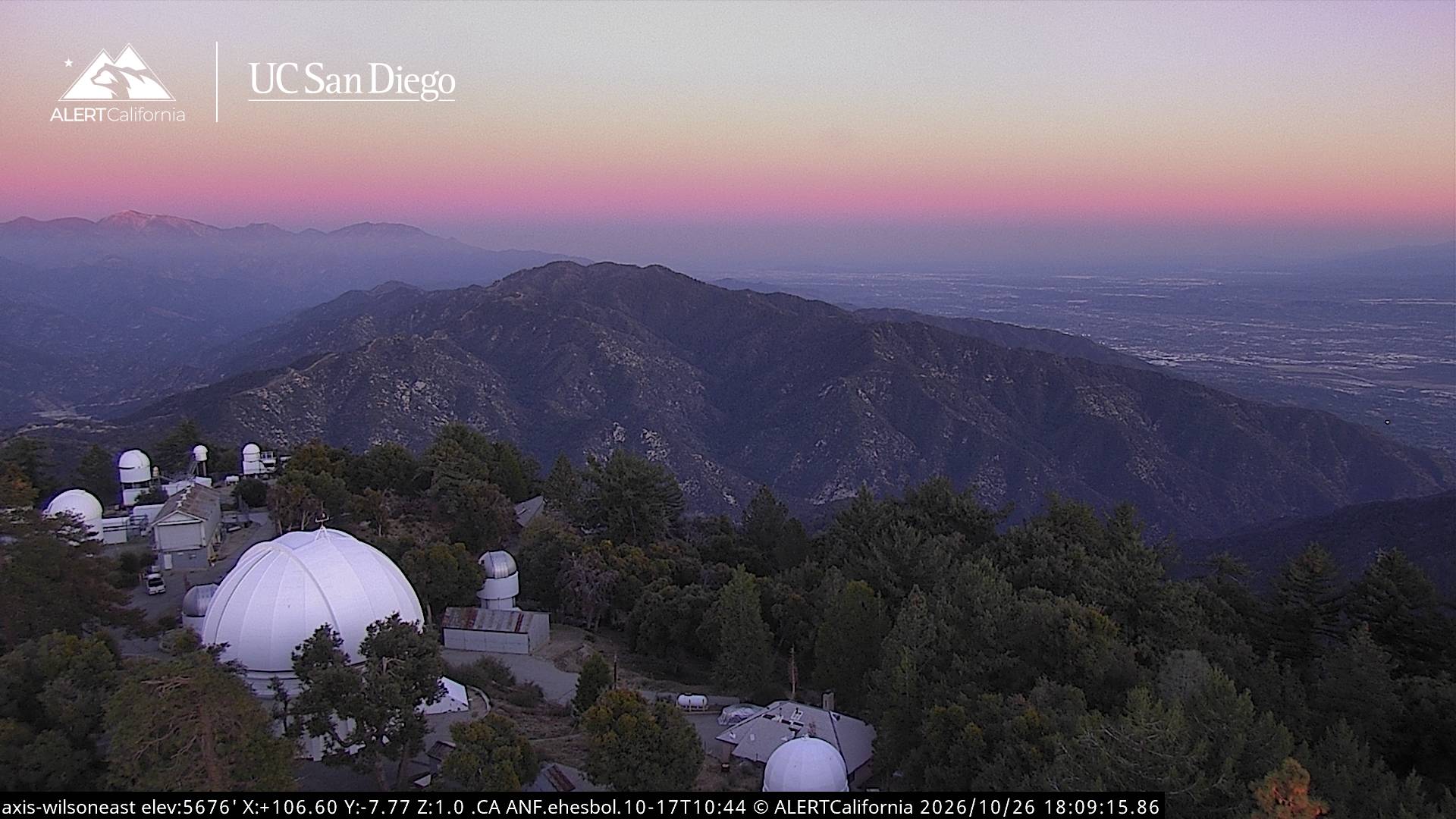
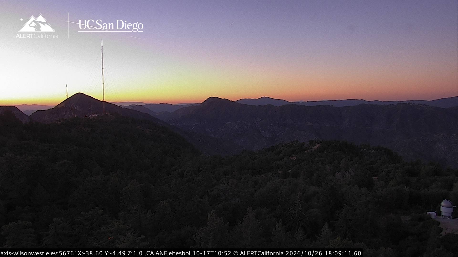
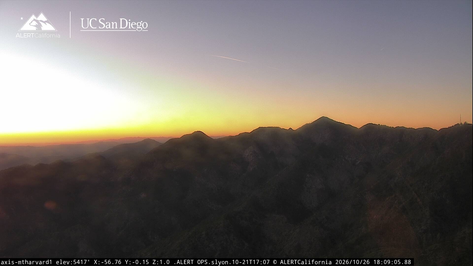
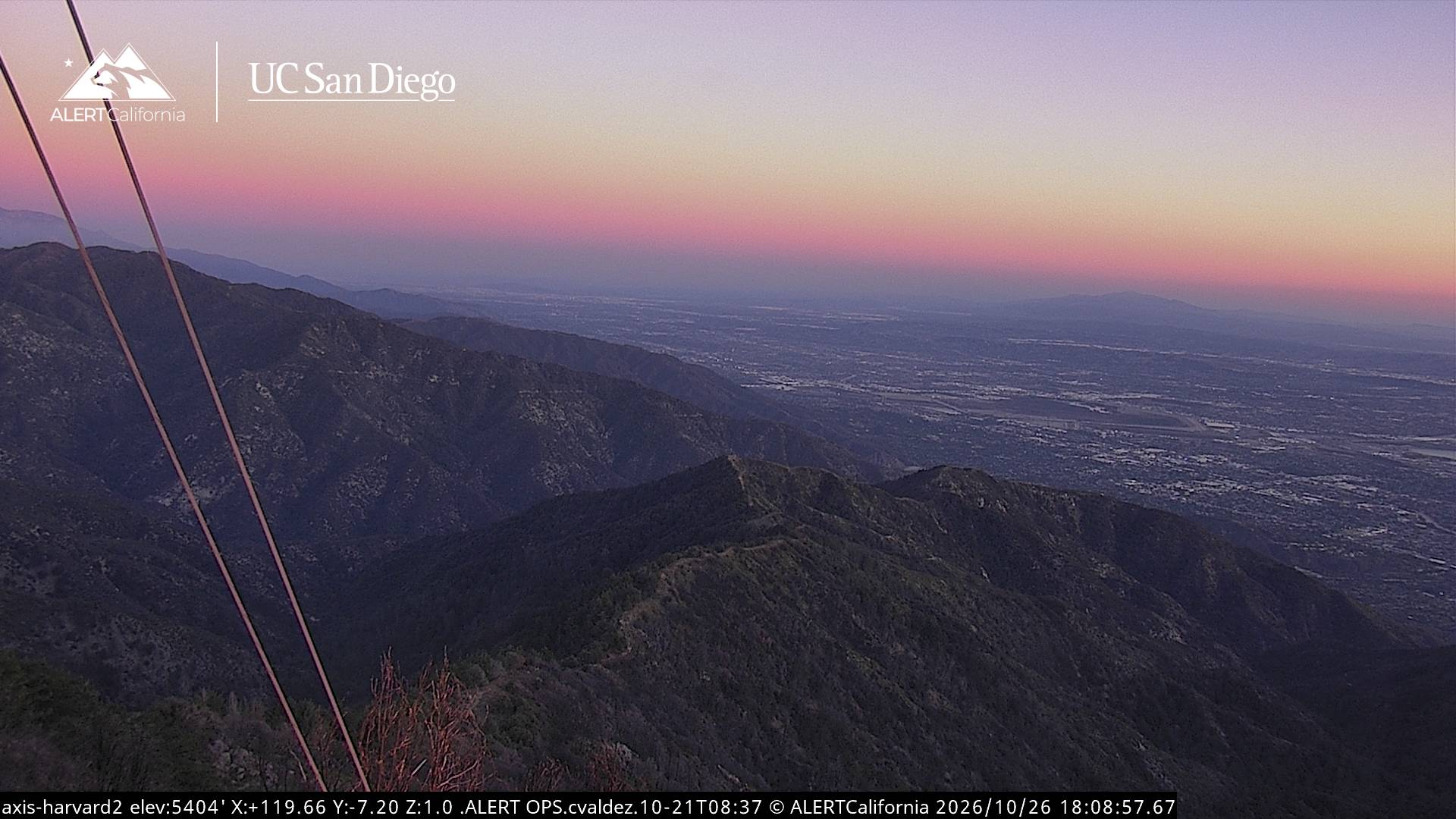
ウィルソン山周辺のライブカメラ
ウィルソン山周辺の歴史
- January 2025 Southern California wildfires2025
- 2023 Monterey Park shooting2023
- Mexico wins their eighth Gold Cup, defeating the United States 1–0 in the final match in Chicago2019
- Hughes Airwest Flight 7061971
- Eaton Fire2025
- Kinneloa Fire1993
- Earthquake — California: Arcadia, Glendale, Los Angeles1991
- Earthquake — California: Whittier1987