威爾遜山 (加利福尼亞州)
1,741 英尺531 米
山 · 圣加布里埃尔山 · 美国
Mount Wilson is at the peak of the San Gabriel Mountains, located within the San Gabriel Mountains National Monument and Angeles National Forest in Los Angeles County, California.
来自Wikipedia,CC BY-SA · 阅读文章
山顶 · 15:00 的预报
70 °F晴 · 南风 6 英里/小时
 3D 查看
威爾遜山 (加利福尼亞州)山顶天气,1,741 英尺
- 15:0070 °F南 6 英里/小时–
- 18:0063 °F南 4 英里/小时–
- 21:0057 °F东北 3 英里/小时–
- 0:0056 °F北 3 英里/小时–
- 3:0054 °F北 2 英里/小时–
- 6:0053 °F北 2 英里/小时–
- 9:0062 °F北 3 英里/小时–
- 12:0067 °F南 5 英里/小时–
| 日期 | 天气 | 最高 / 最低 | 雨 | 最大风速 |
|---|---|---|---|---|
| 10月28日周三 | 多云 | 69 °F / 53 °F | – | 6 英里/小时 |
| 10月29日周四 | 晴 | 69 °F / 55 °F | 0.07 英寸 | 7 英里/小时 |
| 10月30日周五 | 小雨 | 61 °F / 55 °F | 0.15 英寸 | 5 英里/小时 |
| 10月31日周六 | 中雨 | 61 °F / 53 °F | 0.07 英寸 | 3 英里/小时 |
| 11月1日周日 | 晴 | 67 °F / 52 °F | – | 4 英里/小时 |
| 11月2日周一 | 晴 | 75 °F / 51 °F | – | 3 英里/小时 |
| 11月3日周二 | 晴 | 73 °F / 55 °F | – | 3 英里/小时 |
预报来自 MET Norway(CC BY 4.0),更新于 GMT-7 06:17。时间均为当地时间。
基本信息
Mount Wilson (California)
Mountain in California, United States
Mount Wilson is at the peak of the San Gabriel Mountains, located within the San Gabriel Mountains National Monument and Angeles National Forest in Los Angeles County, California. With only minor topographical prominence, the peak is not naturally noticeable from a distance, although it is easily identifiable due to the large number of antennas near its summit. It is a subsidiary peak of nearby San Gabriel Peak.
来自Wikipedia,CC BY-SA · 阅读文章
威爾遜山 (加利福尼亞州)附近的山峰
- San Gabriel Peak6,164 英尺 · 4 公里外地图上
- Mount Lowe5,606 英尺 · 4.1 公里外地图上
- Strawberry Peak6,167 英尺 · 8.5 公里外地图上
- Vetter Mountain5,911 英尺 · 8.7 公里外地图上
- 卢肯斯山5,075 英尺 · 17 公里外地图上
- Waterman Mountain8,041 英尺 · 17 公里外地图上
- South Mount Hawkins7,786 英尺 · 25 公里外地图上
- 李山1,708 英尺 · 26 公里外地图上
- Cahuenga Peak1,821 英尺 · 26 公里外地图上
- Throop Peak9,142 英尺 · 28 公里外地图上
圣加布里埃尔山最高峰
- 圣安东尼奥山10,069 英尺地图上
- Mount Baden-Powell9,407 英尺地图上
- Telegraph Peak8,989 英尺地图上
- 庫卡蒙加峰8,862 英尺地图上
- Ontario Peak8,696 英尺地图上
- Waterman Mountain8,041 英尺地图上
- South Mount Hawkins7,786 英尺地图上
- Strawberry Peak6,167 英尺地图上
- 威爾遜山 (加利福尼亞州)1,741 英尺地图上
美国最高的山
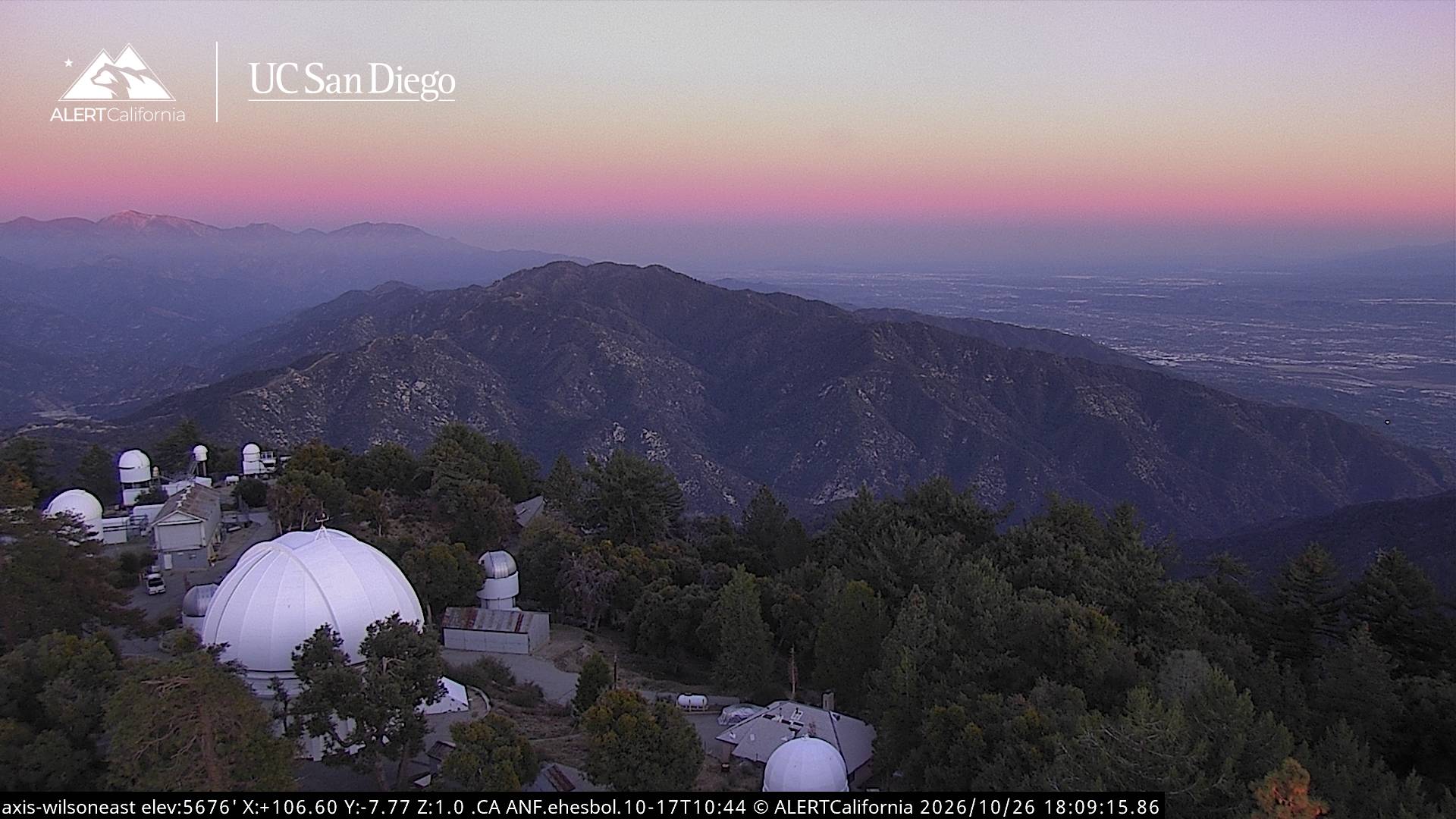
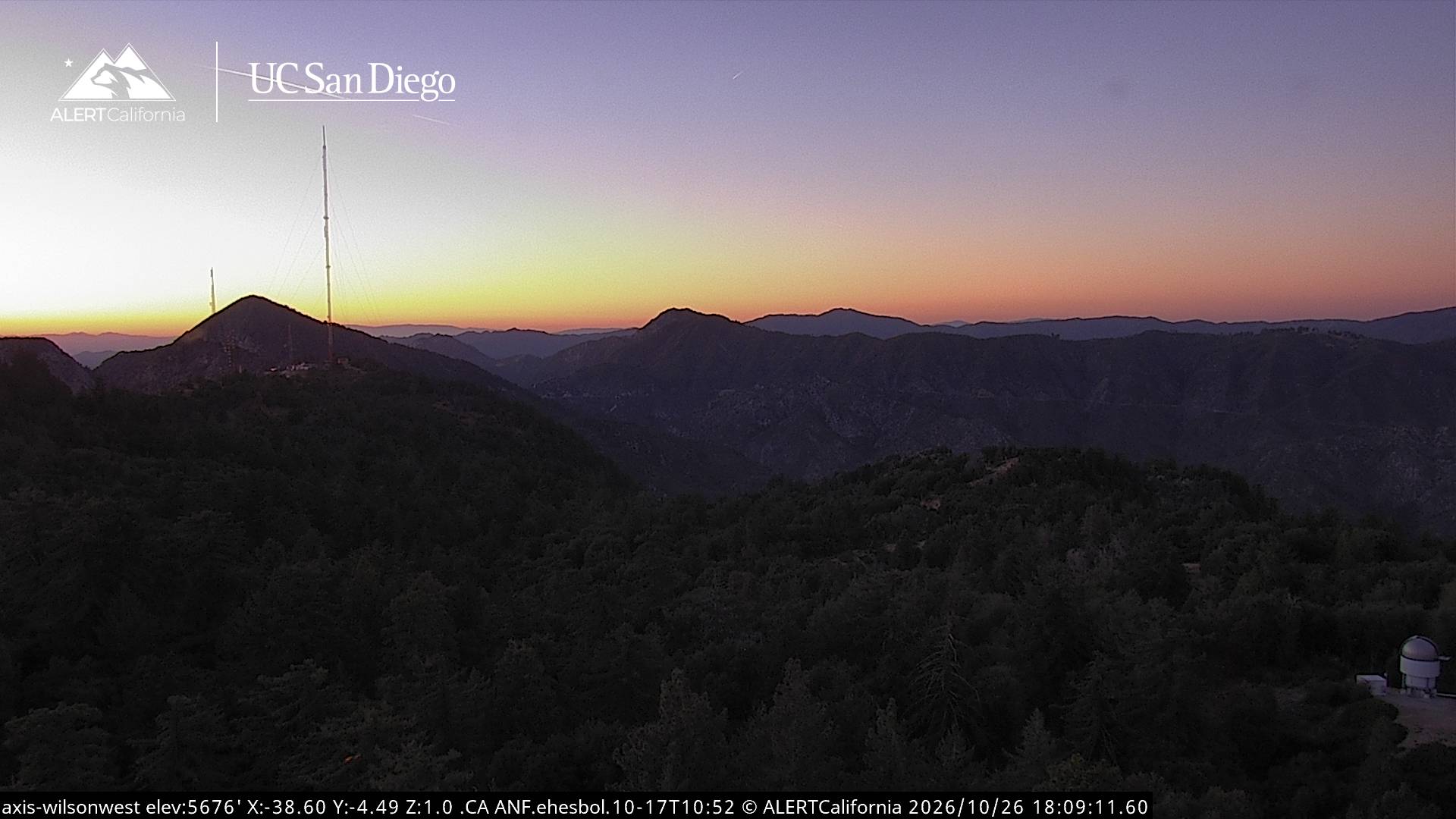
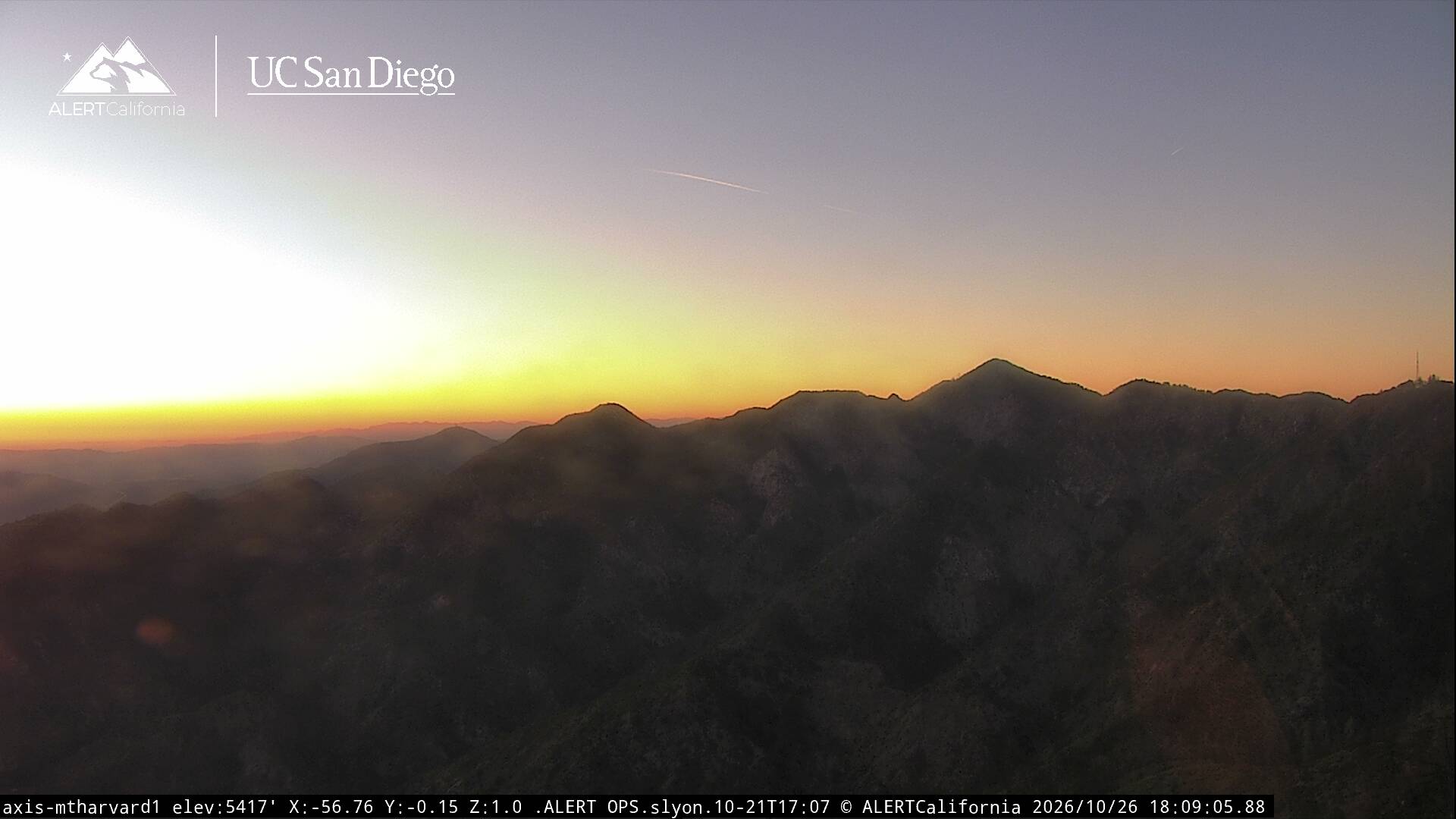
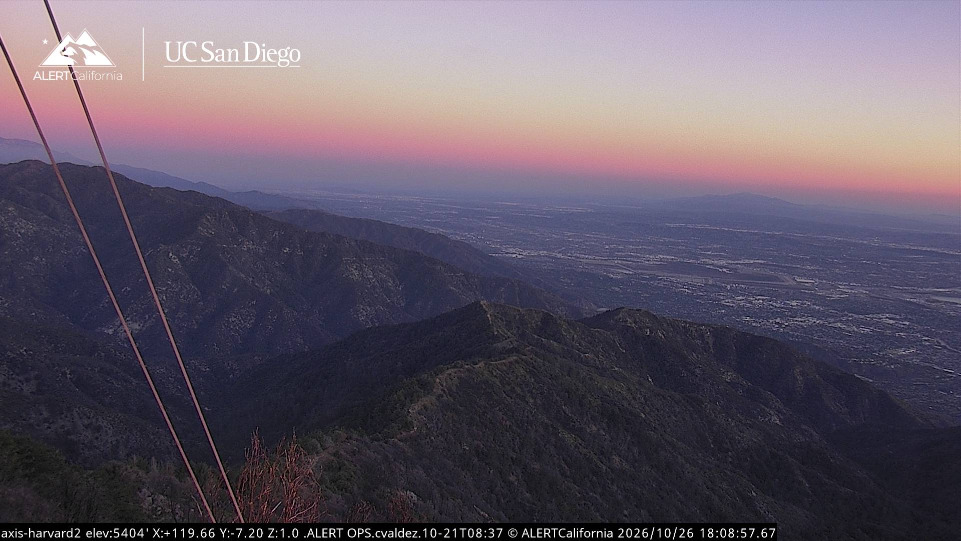
威爾遜山 (加利福尼亞州)附近的网络摄像头
威爾遜山 (加利福尼亞州)周边的历史
- January 2025 Southern California wildfires2025
- 2023 Monterey Park shooting2023
- Mexico wins their eighth Gold Cup, defeating the United States 1–0 in the final match in Chicago2019
- Hughes Airwest Flight 7061971
- Eaton Fire2025
- Kinneloa Fire1993
- Earthquake — California: Arcadia, Glendale, Los Angeles1991
- Earthquake — California: Whittier1987