Piz Nair
3,059 m10,036 ft
山 · Oberalpstock-Clariden-Schärhorn Group · スイス
Piz Nair is a mountain of the Glarus Alps, located on the border between the Swiss cantons of Uri and Graubünden. Together with Piz Giuv on the west, it overlooks the end of the Etzli valley in the canton of Uri.
出典: Wikipedia、CC BY-SA · 記事を読む
山頂 · 1:00 の予報
-7 °C霧 · 南の風 4 km/h
 3D で見る
Piz Nair 山頂の天気(3,059 m)
- 1:00-7 °C南 4 km/h–
- 4:00-9 °C南 6 km/h–
- 7:00-9 °C南 5 km/h–
- 10:00-1 °C東 3 km/h–
- 13:002 °C北 6 km/h–
- 16:00-1 °C北 6 km/h–
- 19:00-5 °C南西 3 km/h–
- 22:00-7 °C南 2 km/h–
| 日付 | 天気 | 最高 / 最低 | 雨 | 最大風速 |
|---|---|---|---|---|
| 今日 | 快晴 | 2 °C / -9 °C | – | 7 km/h |
| 10月30日(金) | 快晴 | 1 °C / -13 °C | – | 7 km/h |
| 10月31日(土) | 快晴 | 0 °C / -10 °C | – | 8 km/h |
| 11月1日(日) | 小雪 | -7 °C / -11 °C | 0.7 mm | 11 km/h |
| 11月2日(月) | 晴れ時々曇り | -6 °C / -12 °C | 0.2 mm | 8 km/h |
| 11月3日(火) | 晴れ | -5 °C / -10 °C | 0.1 mm | 7 km/h |
| 11月4日(水) | 快晴 | -0 °C / -11 °C | – | 4 km/h |
MET Norway(CC BY 4.0)による予報。00:20 GMT+1 更新。時刻は現地時間です。
基本データ
Piz Nair (Glarus Alps)
Mountain in Switzerland
Piz Nair is a mountain of the Glarus Alps, located on the border between the Swiss cantons of Uri and Graubünden. Together with Piz Giuv on the west, it overlooks the end of the Etzli valley in the canton of Uri. The south-west and the south-east sides overlook respectively the small valleys of Val Giuv and Val Milà, both converging to the Rhine valley west of Sedrun (Graubünden).
出典: Wikipedia、CC BY-SA · 記事を読む
Piz Nair周辺の山
- Scopi3,190 m · 17 km先地図上
- Piz Medel3,210 m · 18 km先地図上
- テーディ山3,612 m · 20 km先地図上
- Clariden3,267 m · 20 km先地図上
- ティトリス3,238 m · 22 km先地図上
- Bifertenstock3,421 m · 22 km先地図上
- ダンマシュトック3,630 m · 23 km先地図上
- Hinter Tierberg3,445 m · 24 km先地図上
- Galenstock3,586 m · 24 km先地図上
- Witenwasserenstock3,085 m · 26 km先地図上
親ピーク
Oberalpstock-Clariden-Schärhorn Groupの最高峰
- オーバーアルプシュトック3,328 m地図上
- Gross Schärhorn3,294 m地図上
- Clariden3,267 m地図上
- Düssi3,256 m地図上
- Piz Cambrialas3,208 m地図上
- Gross Windgällen3,187 m地図上
- Gross Ruchen3,138 m地図上
- Piz Giuv3,096 m地図上
- Piz Nair3,059 m地図上
スイスの高い山
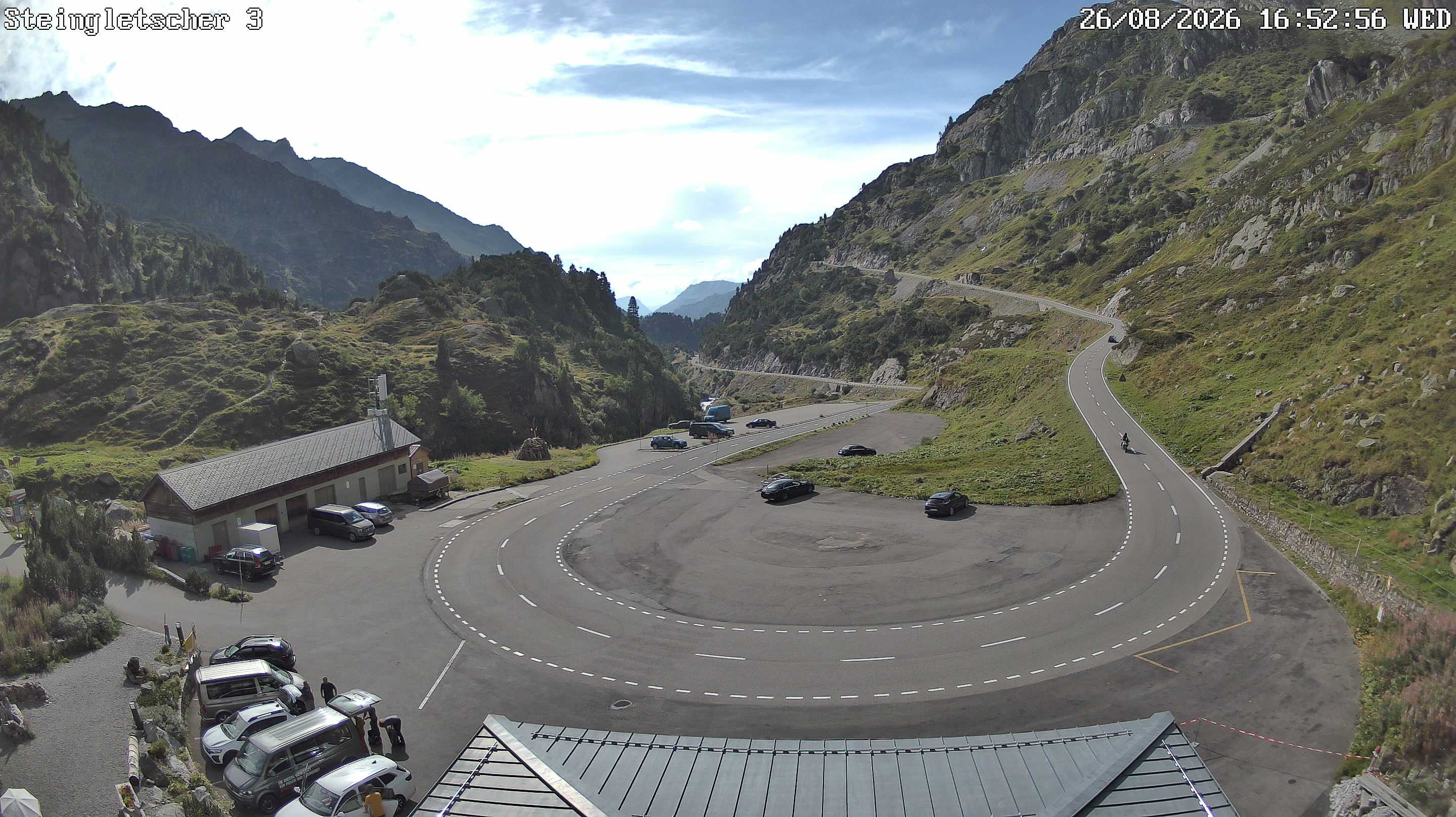
Piz Nair周辺のライブカメラ

Piz Nair周辺の歴史
- The Rhineland massacres: Members of the People's Crusade led by Count Emicho destroy most of the Jewish communities along the Rhine in a series of large…1096
- Göschenen riots1875
- Battle of Gotthard Pass1799
- Earthquake — Switzerland1601
- Lawinenunfall bei Wassen1888
- Battle of Devil's Bridge1799
- Battle of Amsteg1799