Ruby Peak
13,194 ft4,022 m
山 · シエラネバダ山脈 · アメリカ合衆国
Ruby Peak is a thirteener on the Sierra Crest, north of Mount Mills. It is in the John Muir Wilderness and on the boundary between the Sierra National Forest and the Inyo National Forest. It is near Mono Pass.
出典: Wikipedia、CC BY-SA · 記事を読む
山頂 · 16:00 の予報
30 °F晴れ · 南西の風 9 mph
 3D で見る
Ruby Peak 山頂の天気(13,194 ft)
- 16:0030 °F南西 9 mph–
- 19:0020 °F南西 5 mph–
- 22:0019 °F南西 5 mph–
- 1:0020 °F南西 4 mph–
- 4:0020 °F南西 5 mph–
- 7:0018 °F南西 6 mph–
- 10:0031 °F南西 9 mph–
- 13:0034 °F南西 12 mph–
| 日付 | 天気 | 最高 / 最低 | 雨 | 最大風速 |
|---|---|---|---|---|
| 10月27日(火) | 晴れ | 34 °F / 18 °F | – | 13 mph |
| 10月28日(水) | 晴れ時々曇り | 35 °F / 16 °F | – | 9 mph |
| 10月29日(木) | 小雪 | 28 °F / 18 °F | 0.17 インチ | 9 mph |
| 10月30日(金) | 雪 | 19 °F / 9 °F | 0.13 インチ | 9 mph |
| 10月31日(土) | 晴れ時々曇り | 18 °F / 8 °F | 0.02 インチ | 9 mph |
| 11月1日(日) | 晴れ時々曇り | 12 °F / 8 °F | 0.01 インチ | 7 mph |
| 11月2日(月) | 快晴 | 31 °F / 13 °F | – | 4 mph |
MET Norway(CC BY 4.0)による予報。12:16 GMT-7 更新。時刻は現地時間です。
基本データ
- 種類
- 山
- 標高
- 13,194 ft (4,022 m)
- プロミネンス
- 588 ft (179 m)
- 山脈
- シエラネバダ山脈
- 親ピーク
- Mount Mills
- 座標
- 37.409°N 118.782°W
Ruby Peak (California)
Mountain in the American state of California
Ruby Peak is a thirteener on the Sierra Crest, north of Mount Mills. It is in the John Muir Wilderness and on the boundary between the Sierra National Forest and the Inyo National Forest. It is near Mono Pass. The eastern slope drains into Rock Creek which feeds the Owens River while the western slopes drains in Mono Creek which feeds the South Fork of the San Joaquin River.
出典: Wikipedia、CC BY-SA · 記事を読む
Ruby Peak周辺の山
- Mount Abbot13,704 ft · 2.5 km先地図上
- Mount Dade13,593 ft · 3 km先地図上
- Mount Gabb13,747 ft · 4 km先地図上
- Mount Morgan13,754 ft · 4.3 km先地図上
- ホプキンズ山12,313 ft · 6.7 km先地図上
- Feather Peak13,251 ft · 9.2 km先地図上
- Red Slate Mountain13,166 ft · 13 km先地図上
- Mount Tom13,658 ft · 13 km先地図上
- Mount Humphreys13,992 ft · 18 km先地図上
- Mount Morrison12,303 ft · 18 km先地図上
親ピーク
プロミネンスの基準となる、最も近いより高い山。
- Mount Mills13,457 ft地図上
Ruby Peakの下位の山
- Red Slate Mountain13,166 ft地図上
シエラネバダ山脈の最高峰
- ホイットニー山14,505 ft地図上
- ウィリアムソン山14,403 ft地図上
- Mount Russell14,094 ft地図上
- Mount Langley14,032 ft地図上
- ティンダル山14,025 ft地図上
- Mount Humphreys13,992 ft地図上
- Mount Keith13,982 ft地図上
- Mount LeConte13,936 ft地図上
- Ruby Peak13,194 ft地図上
アメリカ合衆国の高い山
Ruby Peak周辺のライブカメラ
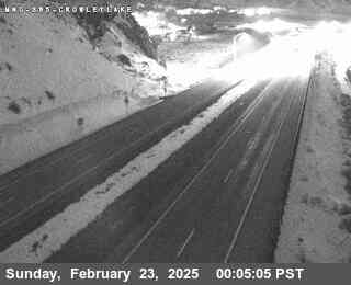
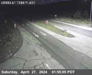
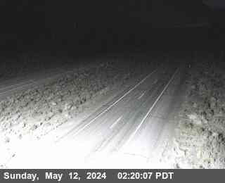
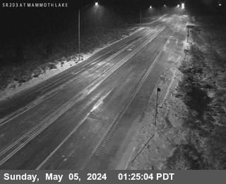
Ruby Peak周辺の町
- Mammoth Lakes30 km先