サンティアゴ・ピーク
5,689 ft1,734 m
山 · サンタアナ山脈 (カリフォルニア州) · アメリカ合衆国
Santiago Peak is the southern mountain of the Saddleback landform in the Cleveland National Forest, located on the border of Orange County and Riverside County, California, United States. It is the highest and most prominent peak of both the Santa Ana Mountains and Orange County.
出典: Wikipedia、CC BY-SA · 記事を読む
サンタアナ山脈 (カリフォルニア州)の最高地点
山頂 · 20:00 の予報
45 °F晴れ時々曇り · 南の風 2 mph
 3D で見る
サンティアゴ・ピーク 山頂の天気(5,689 ft)
- 20:0045 °F南 2 mph–
- 23:0044 °F東 3 mph–
- 2:0042 °F南東 2 mph–
- 5:0040 °F北 2 mph–
- 8:0043 °F北東 4 mph–
- 11:0054 °F南 3 mph–
- 14:0057 °F南西 5 mph–
- 17:0053 °F南西 6 mph–
| 日付 | 天気 | 最高 / 最低 | 雨 | 最大風速 |
|---|---|---|---|---|
| 10月28日(水) | 晴れ時々曇り | 57 °F / 40 °F | – | 6 mph |
| 10月29日(木) | 曇り | 57 °F / 41 °F | 0 インチ | 7 mph |
| 10月30日(金) | 小雨 | 47 °F / 42 °F | 0.09 インチ | 5 mph |
| 10月31日(土) | 曇り | 52 °F / 41 °F | 0.03 インチ | 3 mph |
| 11月1日(日) | 晴れ | 51 °F / 43 °F | 0.01 インチ | 5 mph |
| 11月2日(月) | 快晴 | 57 °F / 42 °F | – | 5 mph |
| 11月3日(火) | 快晴 | 62 °F / 46 °F | – | 6 mph |
MET Norway(CC BY 4.0)による予報。18:17 GMT-7 更新。時刻は現地時間です。
基本データ
- 種類
- 山
- 標高
- 5,689 ft (1,734 m)
- プロミネンス
- 4,386 ft (1,337 m)
- 山脈
- サンタアナ山脈 (カリフォルニア州)
- 最高地点となる場所
- サンタアナ山脈 (カリフォルニア州)
- 座標
- 33.711°N 117.534°W
Santiago Peak
Mountain in California, USA
Santiago Peak is the southern mountain of the Saddleback landform in the Cleveland National Forest, located on the border of Orange County and Riverside County, California, United States. It is the highest and most prominent peak of both the Santa Ana Mountains and Orange County. The peak is named for Santiago Creek, which begins on its southwestern slope. During most winters, snow falls at least once on the peak.
出典: Wikipedia、CC BY-SA · 記事を読む
サンティアゴ・ピーク周辺の山
- モジェスカ・ピーク5,499 ft · 1.4 km先地図上
- Trabuco Peak4,607 ft · 5.5 km先地図上
- Los Pinos Peak4,513 ft · 7.8 km先地図上
- Estelle Mountain2,767 ft · 12 km先地図上
- San Mateo Peak3,591 ft · 18 km先地図上
- Arlington Mountain1,857 ft · 19 km先地図上
- Elsinore Peak3,575 ft · 21 km先地図上
- Rome Hill1,444 ft · 22 km先地図上
- Three Sisters1,886 ft · 24 km先地図上
- Beacon Hill1,019 ft · 25 km先地図上
サンタアナ山脈 (カリフォルニア州)の最高峰
- サンティアゴ・ピーク5,689 ft地図上
- Los Pinos Peak4,513 ft地図上
- Redonda Mesa2,825 ft地図上
アメリカ合衆国の高い山
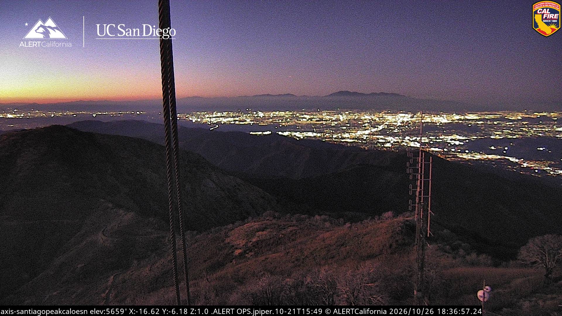
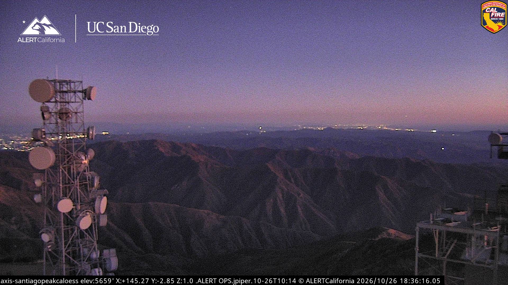
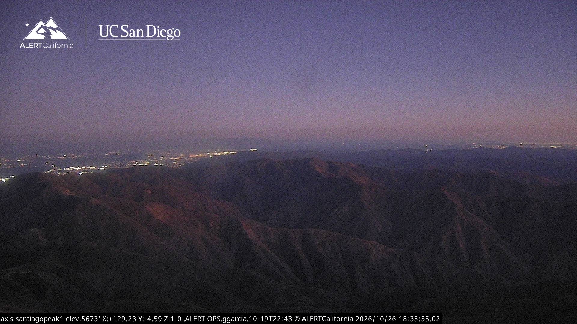
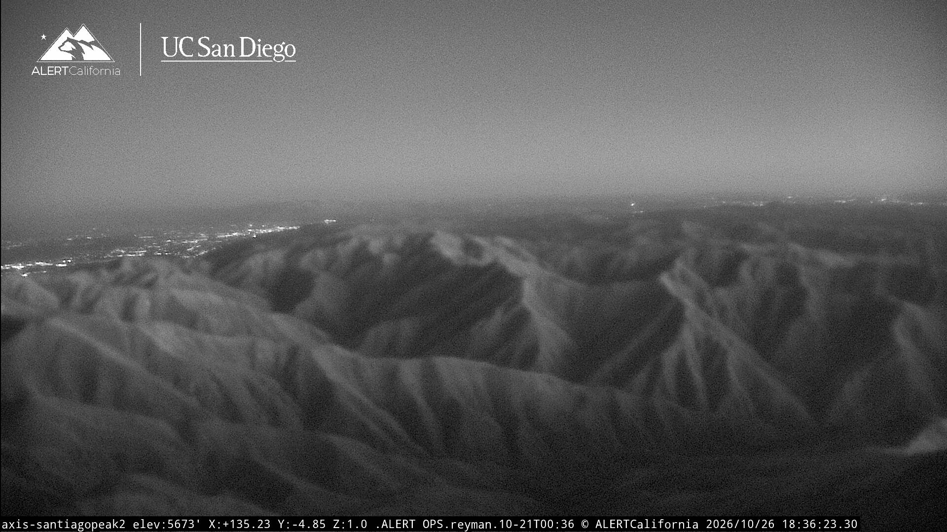
サンティアゴ・ピーク周辺のライブカメラ
サンティアゴ・ピーク周辺の歴史
サンティアゴ・ピーク周辺の町
- ランチョサンタマルガリータ10 km先
- レイクフォレスト16 km先
- ミッション・ヴィエホ18 km先
- ラデラ・ランチ18 km先
- コロナ19 km先
- レイク・エルシノア20 km先