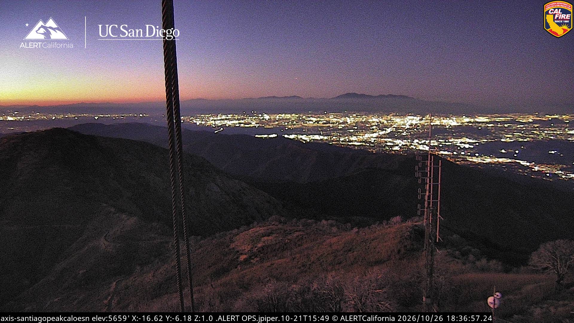
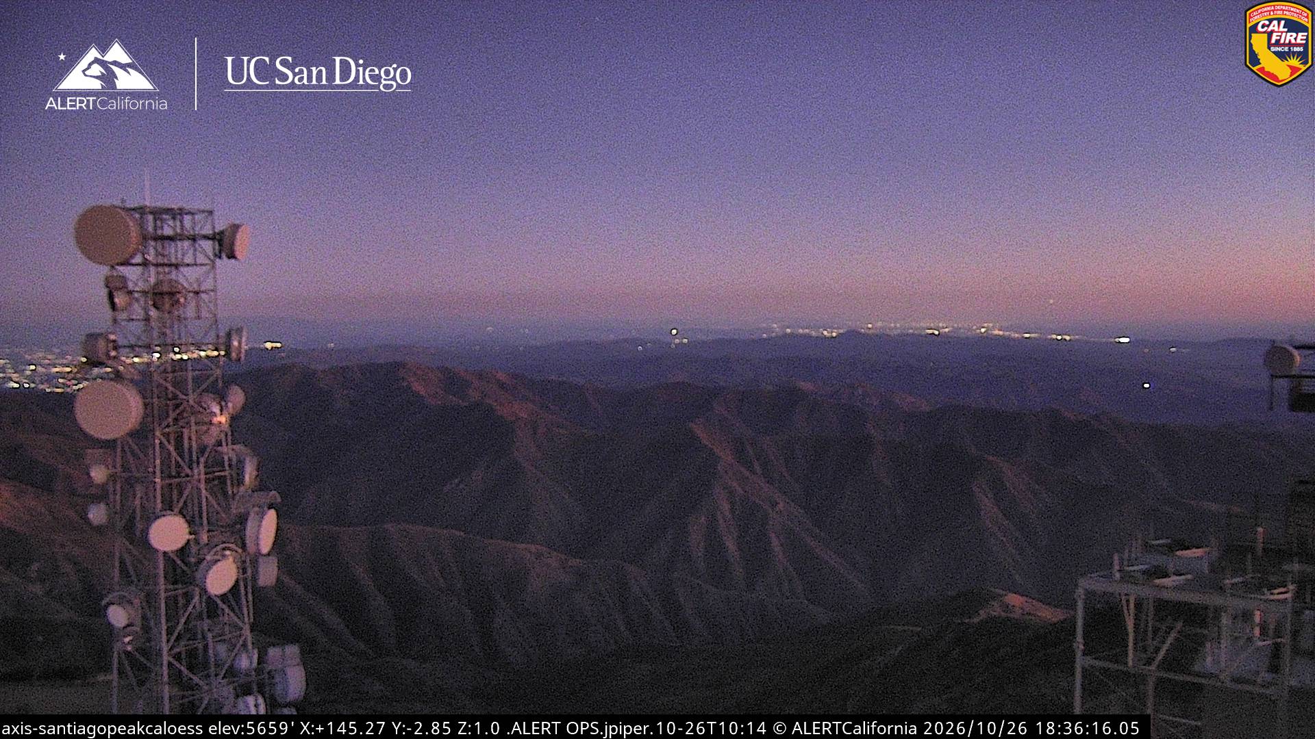
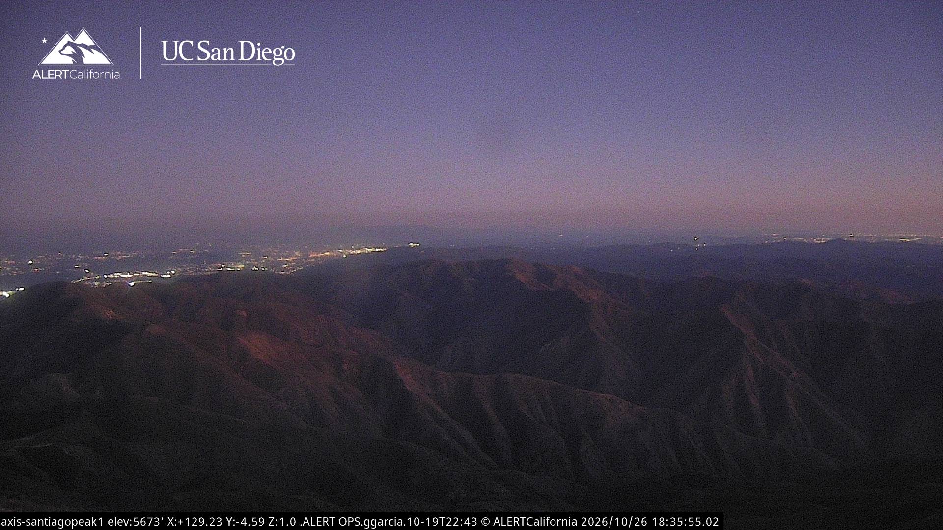
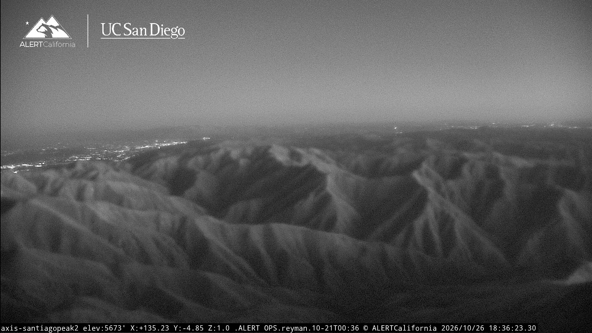
Santiago Peak
5,689 英尺1,734 米
山 · 圣塔安娜山 · 美国
Santiago Peak is the southern mountain of the Saddleback landform in the Cleveland National Forest, located on the border of Orange County and Riverside County, California, United States. It is the highest and most prominent peak of both the Santa Ana Mountains and Orange County.
来自Wikipedia,CC BY-SA · 阅读文章
圣塔安娜山的最高点
山顶 · 22:00 的预报
44 °F多云 · 东风 3 英里/小时
 3D 查看
Santiago Peak山顶天气,5,689 英尺
- 22:0044 °F东 3 英里/小时–
- 1:0042 °F东南 3 英里/小时–
- 4:0041 °F东北 2 英里/小时–
- 7:0040 °F北 3 英里/小时–
- 10:0052 °F南 2 英里/小时–
- 13:0057 °F西南 5 英里/小时–
- 16:0056 °F西南 5 英里/小时–
- 19:0045 °F西南 3 英里/小时–
| 日期 | 天气 | 最高 / 最低 | 雨 | 最大风速 |
|---|---|---|---|---|
| 10月28日周三 | 多云 | 57 °F / 40 °F | – | 6 英里/小时 |
| 10月29日周四 | 阴 | 57 °F / 41 °F | 0 英寸 | 7 英里/小时 |
| 10月30日周五 | 小雨 | 47 °F / 42 °F | 0.09 英寸 | 5 英里/小时 |
| 10月31日周六 | 阴 | 52 °F / 41 °F | 0.03 英寸 | 3 英里/小时 |
| 11月1日周日 | 少云 | 51 °F / 43 °F | 0.01 英寸 | 5 英里/小时 |
| 11月2日周一 | 晴 | 57 °F / 42 °F | – | 5 英里/小时 |
| 11月3日周二 | 晴 | 62 °F / 46 °F | – | 6 英里/小时 |
预报来自 MET Norway(CC BY 4.0),更新于 GMT-7 18:17。时间均为当地时间。
基本信息
Santiago Peak
Mountain in California, USA
Santiago Peak is the southern mountain of the Saddleback landform in the Cleveland National Forest, located on the border of Orange County and Riverside County, California, United States. It is the highest and most prominent peak of both the Santa Ana Mountains and Orange County. The peak is named for Santiago Creek, which begins on its southwestern slope. During most winters, snow falls at least once on the peak.
来自Wikipedia,CC BY-SA · 阅读文章
Santiago Peak附近的山峰
- Modjeska Peak5,499 英尺 · 1.4 公里外地图上
- Trabuco Peak4,607 英尺 · 5.5 公里外地图上
- Los Pinos Peak4,513 英尺 · 7.8 公里外地图上
- Estelle Mountain2,767 英尺 · 12 公里外地图上
- San Mateo Peak3,591 英尺 · 18 公里外地图上
- Arlington Mountain1,857 英尺 · 19 公里外地图上
- Elsinore Peak3,575 英尺 · 21 公里外地图上
- Rome Hill1,444 英尺 · 22 公里外地图上
- Three Sisters1,886 英尺 · 24 公里外地图上
- Beacon Hill1,019 英尺 · 25 公里外地图上
圣塔安娜山最高峰
- Santiago Peak5,689 英尺地图上
- Los Pinos Peak4,513 英尺地图上
- Redonda Mesa2,825 英尺地图上