スイスの山
Schluchberg
2,106 m6,909 ft
山 · ウルナー・アルプス山脈 · スイス
The Schluchberg is a mountain of the Uri Alps, located on the border between the Swiss cantons of Obwalden and Nidwalden. It is the highest summit of the chain north of the Storegg pass.
出典: Wikipedia、CC BY-SA · 記事を読む
山頂 · 4:00 の予報
3 °C快晴 · 南の風 3 km/h
 3D で見る
Schluchberg 山頂の天気(2,106 m)
- 4:003 °C南 3 km/h–
- 7:002 °C南 3 km/h–
- 10:009 °C北西 2 km/h–
- 13:0011 °C北 5 km/h–
- 16:009 °C北 4 km/h–
- 19:005 °C南 3 km/h–
- 22:004 °C南 6 km/h–
- 1:001 °C南 8 km/h0.2 mm
| 日付 | 天気 | 最高 / 最低 | 雨 | 最大風速 |
|---|---|---|---|---|
| 今日 | 快晴 | 11 °C / 2 °C | – | 7 km/h |
| 10月28日(水) | 霧 | 2 °C / 0 °C | 2.1 mm | 9 km/h |
| 10月29日(木) | 晴れ時々曇り | 2 °C / -2 °C | – | 8 km/h |
| 10月30日(金) | 晴れ時々曇り | 2 °C / -2 °C | – | 5 km/h |
| 10月31日(土) | 晴れ時々曇り | 3 °C / -3 °C | – | 4 km/h |
| 11月1日(日) | 快晴 | 5 °C / -1 °C | – | 5 km/h |
| 11月2日(月) | 晴れ時々曇り | -1 °C / -3 °C | 0.2 mm | 6 km/h |
MET Norway(CC BY 4.0)による予報。02:17 GMT+1 更新。時刻は現地時間です。
基本データ
- 種類
- 山
- 標高
- 2,106 m (6,909 ft)
- プロミネンス
- 364 m (1,194 ft)
- 山脈
- ウルナー・アルプス山脈
- 親ピーク
- Widderfeld Stock
- 国
- スイス
- 座標
- 46.867°N 8.334°E
Schluchberg周辺の山
親ピーク
プロミネンスの基準となる、最も近いより高い山。
- Widderfeld Stock2,351 m地図上
Schluchbergの下位の山
ウルナー・アルプス山脈の最高峰
- ダンマシュトック3,630 m地図上
- Sustenhorn3,503 m地図上
- Fleckistock3,417 m地図上
- ディーヒターホルン3,389 m地図上
- ティトリス3,238 m地図上
- Gross Spannort3,198 m地図上
- Schlossberg3,133 m地図上
- Schluchberg2,106 m地図上
スイスの高い山
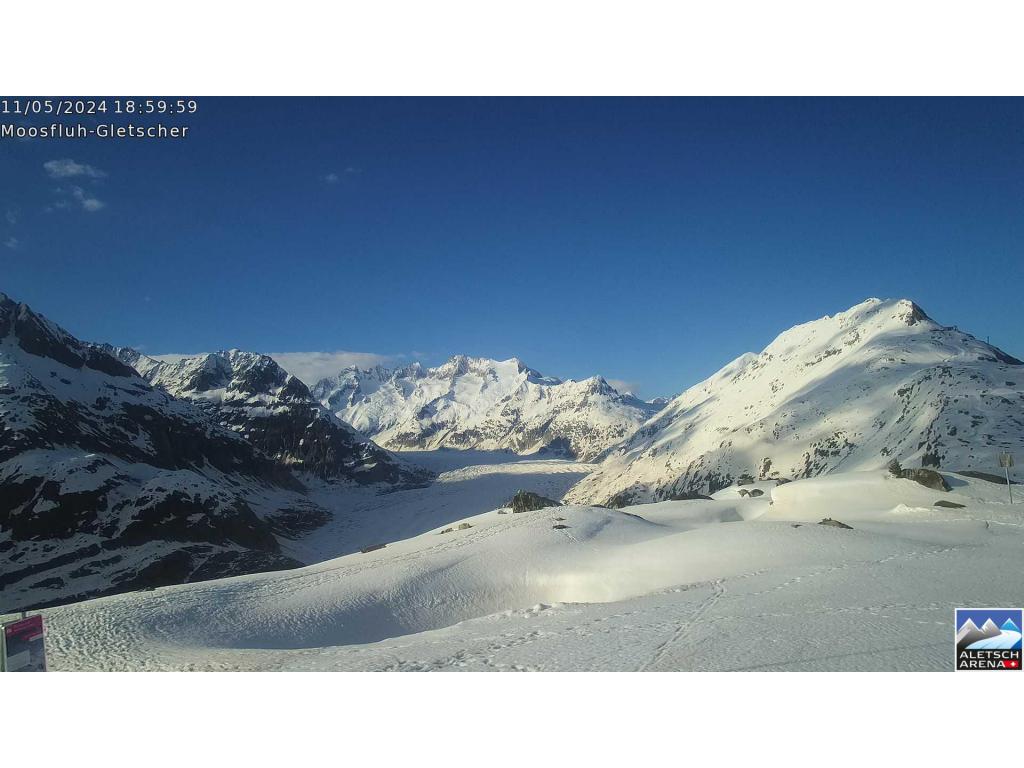
Schluchberg周辺のライブカメラ


Schluchberg周辺の歴史
- June 2024 Ukraine peace summit: World leaders meet at the Bürgenstock Resort to advance the Ukrainian peace process2024
- Stanser Verkommnis1481
- Tiefencastel derailment2014
- Geneva Convention on the Wounded and Sick1929
- Grève des tramelots genevois de 19021902
- Federal Treaty1815
- Earthquake — Switzerland1601
- 2022 monkeypox outbreak in Switzerland2022