ソノマ山
2,463 ft751 m
山 · Sonoma Mountains · アメリカ合衆国
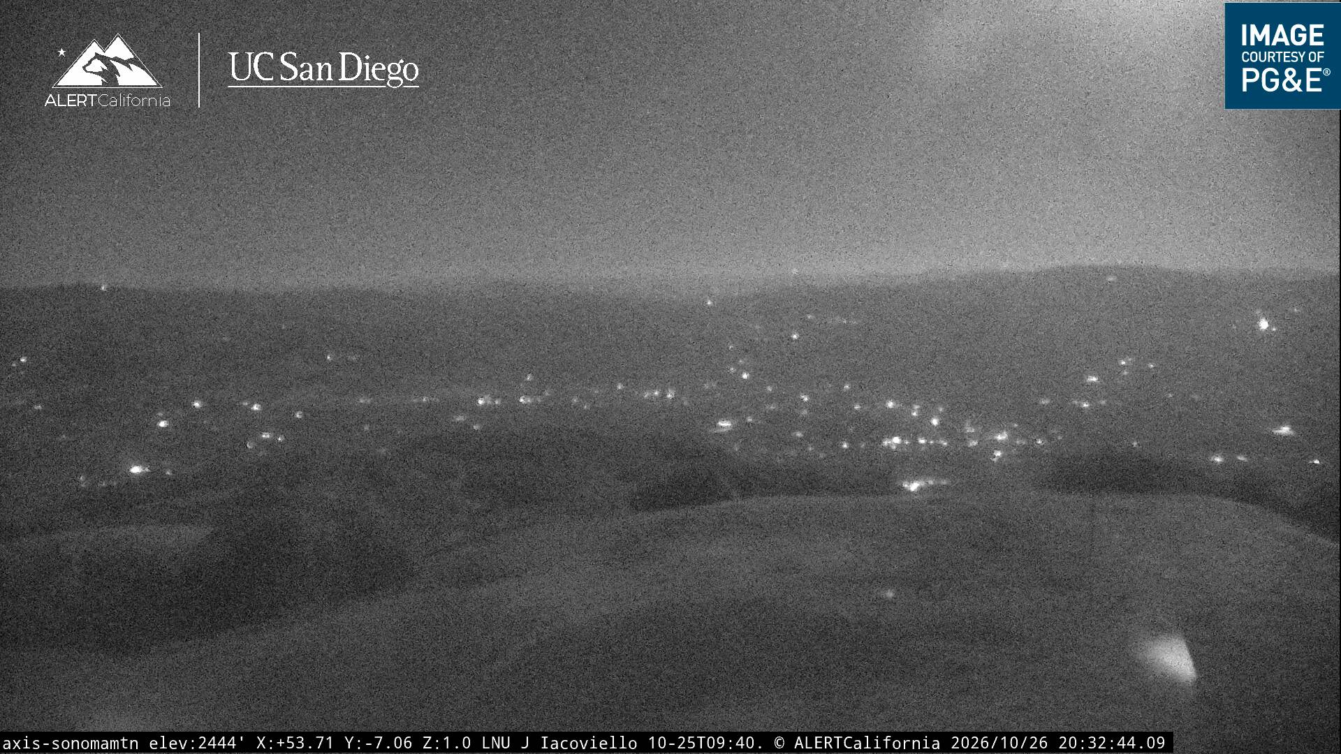
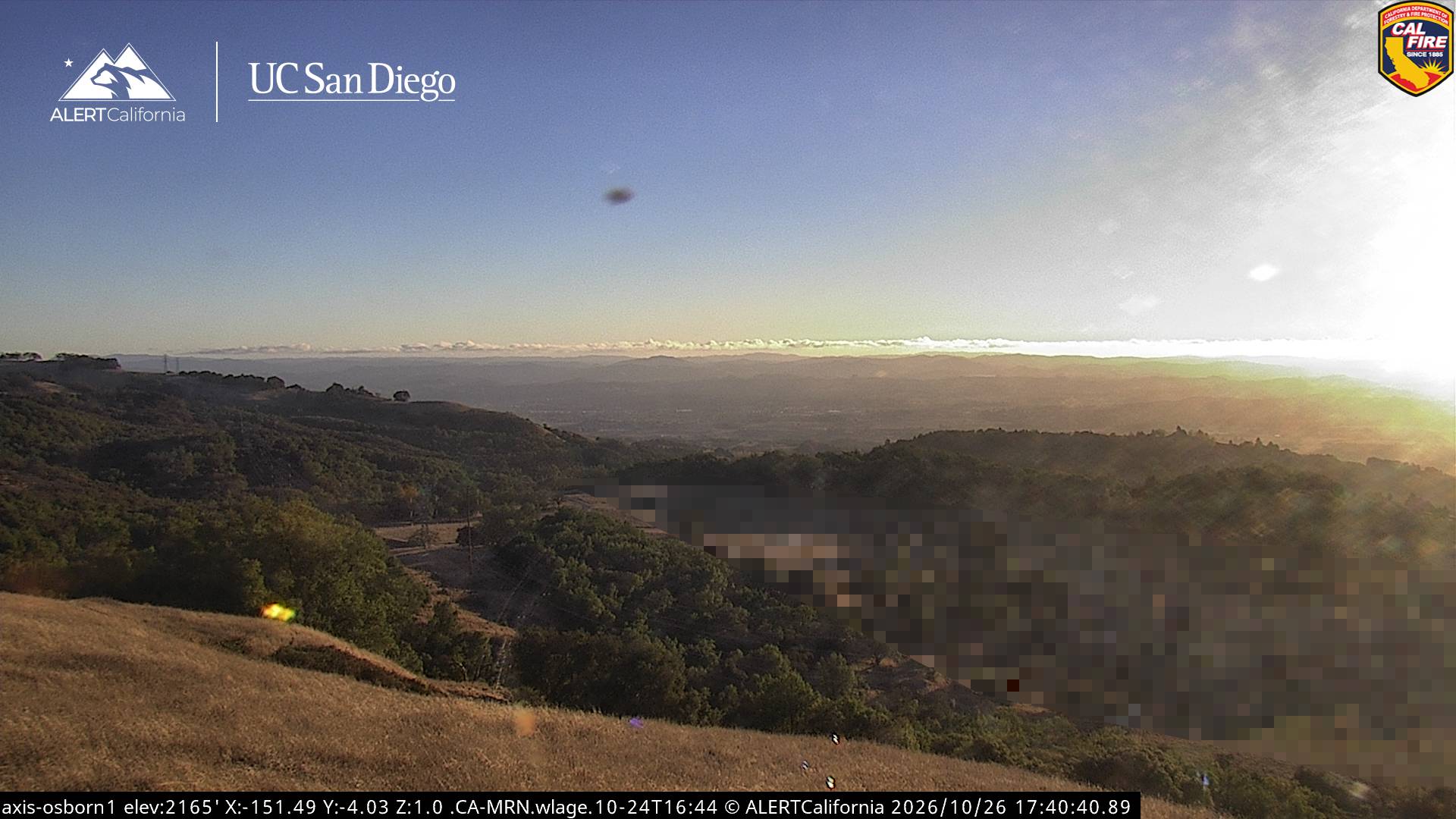
Sonoma Mountain is a prominent landform within the Sonoma Mountains of southern Sonoma County, California. At an elevation of 2,463 ft (751 m), Sonoma Mountain offers expansive views of the Pacific Ocean to the west and the Sonoma Valley to the east.
出典: Wikipedia、CC BY-SA · 記事を読む
Sonoma Mountainsの最高地点
山頂 · 14:00 の予報
60 °F晴れ時々曇り · 西の風 9 mph
 3D で見る
ソノマ山 山頂の天気(2,463 ft)
- 14:0060 °F西 9 mph–
- 17:0057 °F西 11 mph–
- 20:0049 °F北西 8 mph–
- 23:0043 °F北西 6 mph–
- 2:0040 °F北 3 mph–
- 5:0038 °F北 2 mph–
- 8:0039 °F北 4 mph–
- 11:0056 °F西 4 mph–
| 日付 | 天気 | 最高 / 最低 | 雨 | 最大風速 |
|---|---|---|---|---|
| 10月28日(水) | 快晴 | 61 °F / 38 °F | – | 8 mph |
| 10月29日(木) | 曇り | 61 °F / 44 °F | – | 7 mph |
| 10月30日(金) | 快晴 | 53 °F / 41 °F | – | 9 mph |
| 10月31日(土) | 晴れ時々曇り | 52 °F / 39 °F | – | 9 mph |
| 11月1日(日) | 快晴 | 59 °F / 39 °F | – | 6 mph |
| 11月2日(月) | 曇り | 60 °F / 41 °F | – | 6 mph |
| 11月3日(火) | 曇り | 63 °F / 42 °F | – | 4 mph |
MET Norway(CC BY 4.0)による予報。12:17 GMT-7 更新。時刻は現地時間です。
基本データ
- 種類
- 山
- 標高
- 2,463 ft (751 m)
- 山脈
- Sonoma Mountains
- 最高地点となる場所
- Sonoma Mountains
- 座標
- 38.323°N 122.575°W
Sonoma Mountain
Highland in the North Bay region of California
Sonoma Mountain is a prominent landform within the Sonoma Mountains of southern Sonoma County, California. At an elevation of 2,463 ft (751 m), Sonoma Mountain offers expansive views of the Pacific Ocean to the west and the Sonoma Valley to the east. In fact, the viticultural area extends in isolated patches up the eastern slopes of Sonoma Mountain to almost 1,700 feet (520 m) in elevation.
出典: Wikipedia、CC BY-SA · 記事を読む
ソノマ山周辺の山
- Bennett Mountain1,909 ft · 11 km先地図上
- テイラー山1,406 ft · 12 km先地図上
- フッド山2,733 ft · 15 km先地図上
- Twin Sisters2,259 ft · 35 km先地図上
- Iron Mountain2,287 ft · 37 km先地図上
- Sulfur Springs Mountain1,112 ft · 39 km先地図上
- セントヘレナ山4,327 ft · 39 km先地図上
- Mount Vaca2,822 ft · 42 km先地図上
- タマルパイス山2,572 ft · 44 km先地図上
- Ring Mountain603 ft · 47 km先地図上
Sonoma Mountainsの最高峰
- ソノマ山2,463 ft地図上
- Bennett Mountain1,909 ft地図上
- テイラー山1,406 ft地図上