Sonoma Mountain
2,463 ft751 m
Mountain · Sonoma Mountains · United States
Sonoma Mountain is a prominent landform within the Sonoma Mountains of southern Sonoma County, California. At an elevation of 2,463 ft (751 m), Sonoma Mountain offers expansive views of the Pacific Ocean to the west and the Sonoma Valley to the east.
From Wikipedia, CC BY-SA · Read the article
The highest point of Sonoma Mountains
At the summit · forecast for 2:00 PM
59 °FMostly clear · wind 8 mph from the W
 See it in 3D
Weather at the summit of Sonoma Mountain, 2,463 ft
- 2:00 PM59 °FW 8 mph–
- 5:00 PM57 °FW 11 mph–
- 8:00 PM49 °FNW 7 mph–
- 11:00 PM43 °FNW 5 mph–
- 2:00 AM40 °FN 2 mph–
- 5:00 AM38 °FN 2 mph–
- 8:00 AM39 °FN 3 mph–
- 11:00 AM56 °FW 4 mph–
| Day | Sky | High / low | Rain | Wind up to |
|---|---|---|---|---|
| Wed, Oct 28 | Mostly clear | 62 °F / 38 °F | – | 9 mph |
| Thu, Oct 29 | Cloudy | 60 °F / 43 °F | – | 7 mph |
| Fri, Oct 30 | Clear | 53 °F / 37 °F | – | 9 mph |
| Sat, Oct 31 | Partly cloudy | 52 °F / 39 °F | – | 9 mph |
| Sun, Nov 1 | Clear | 59 °F / 39 °F | – | 6 mph |
| Mon, Nov 2 | Cloudy | 60 °F / 41 °F | – | 6 mph |
| Tue, Nov 3 | Cloudy | 63 °F / 42 °F | – | 4 mph |
Forecast by MET Norway (CC BY 4.0), updated 10:17 AM PDT. Times are local.
Facts
- What it is
- Mountain
- Height above sea level
- 2,463 ft (751 m)
- Range
- Sonoma Mountains
- Country
- United States
- Highest point of
- Sonoma Mountains
- Coordinates
- 38.323°N 122.575°W
- Source
- Wikidata, CC0
Sonoma Mountain
Highland in the North Bay region of California
Sonoma Mountain is a prominent landform within the Sonoma Mountains of southern Sonoma County, California. At an elevation of 2,463 ft (751 m), Sonoma Mountain offers expansive views of the Pacific Ocean to the west and the Sonoma Valley to the east. In fact, the viticultural area extends in isolated patches up the eastern slopes of Sonoma Mountain to almost 1,700 feet (520 m) in elevation.
From Wikipedia, CC BY-SA · Read the article
Peaks near Sonoma Mountain
- Bennett Mountain1,909 ft · 11 km awayOn the map
- Taylor Mountain1,406 ft · 12 km awayOn the map
- Mount Hood2,733 ft · 15 km awayOn the map
- Twin Sisters2,259 ft · 35 km awayOn the map
- Iron Mountain2,287 ft · 37 km awayOn the map
- Sulfur Springs Mountain1,112 ft · 39 km awayOn the map
- Mount Saint Helena4,327 ft · 39 km awayOn the map
- Mount Vaca2,822 ft · 42 km awayOn the map
- Mount Tamalpais2,572 ft · 44 km awayOn the map
- Ring Mountain603 ft · 47 km awayOn the map
Highest in the Sonoma Mountains
- Sonoma Mountain2,463 ftOn the map
- Bennett Mountain1,909 ftOn the map
- Taylor Mountain1,406 ftOn the map
Highest mountains in United States
- Denali20,308 ftOn the map
- Mount Saint Elias18,009 ftOn the map
- Mount Foraker17,402 ftOn the map
- Mount Bona16,535 ftOn the map
- Mount Blackburn16,390 ftOn the map
- Mount Sanford16,237 ftOn the map
- Mount Vancouver15,787 ftOn the map
- Mount Churchill15,636 ftOn the map
- Mount Fairweather15,325 ftOn the map
- Mount Hubbard14,951 ftOn the map
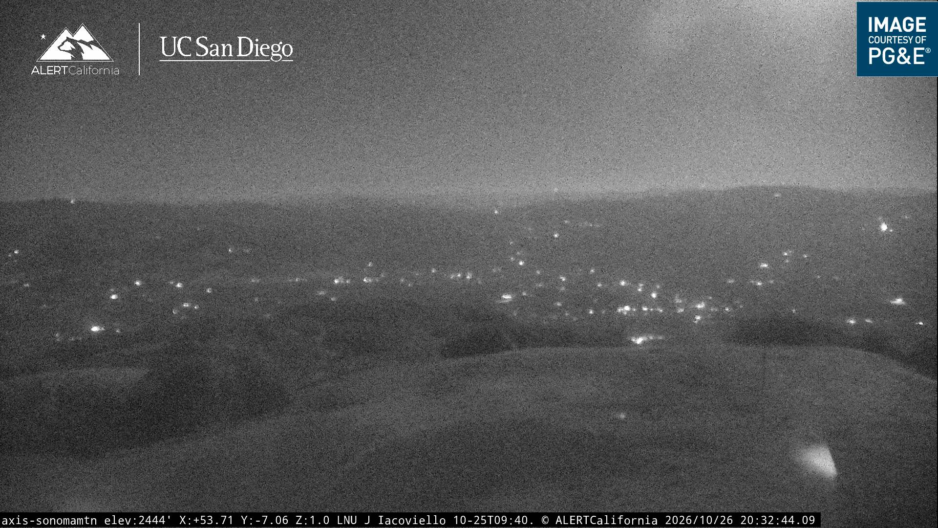
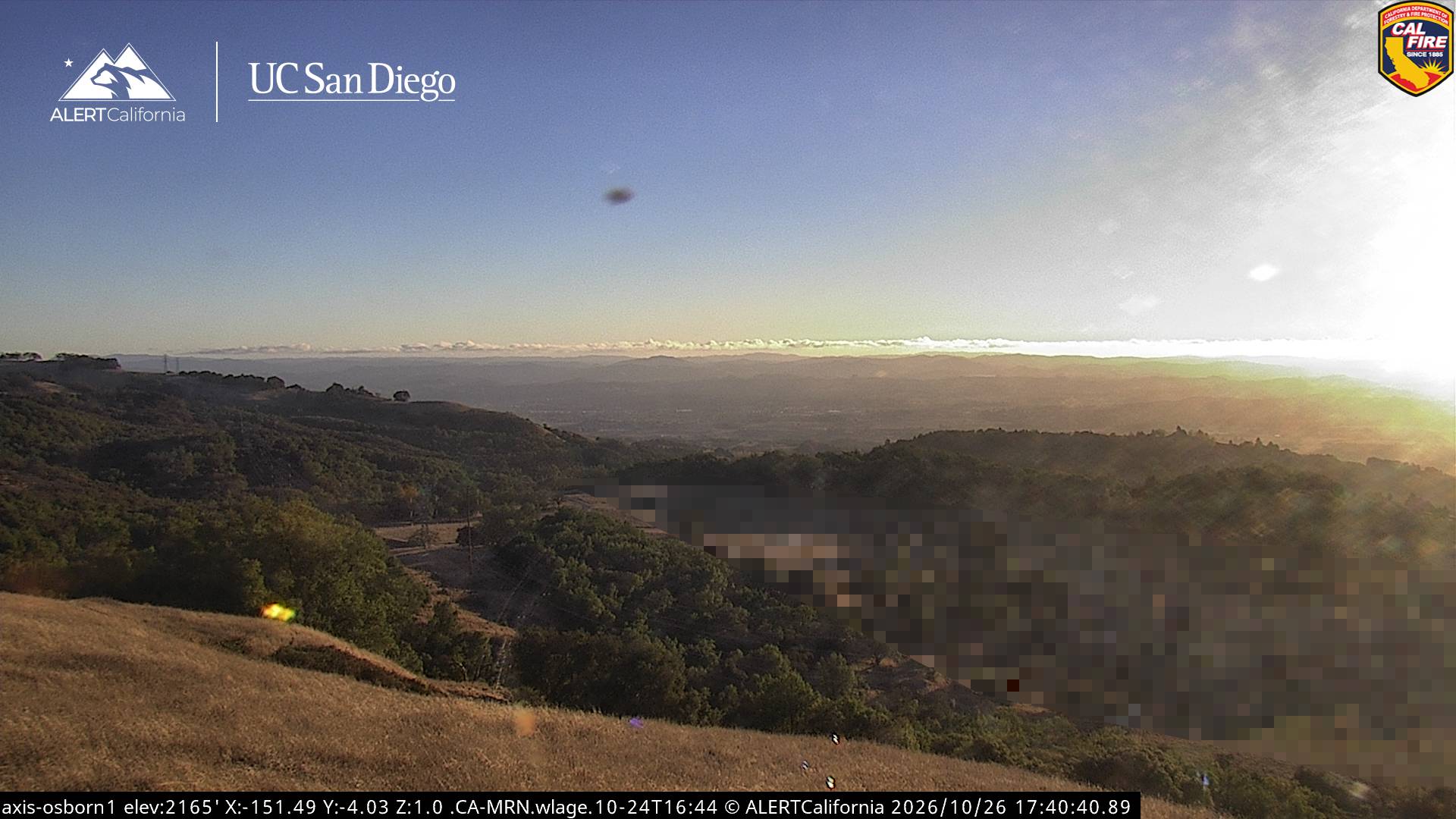
Webcams near Sonoma Mountain

History around Sonoma Mountain
Towns near Sonoma Mountain
- Agua Caliente7.6 km away
- Sonoma11 km away
- Rohnert Park11 km away
- Petaluma11 km away
- Cotati12 km away
- Santa Rosa18 km away