Mount Tamalpais
2,572 ft784 m
Mountain · California Coast Ranges · United States
Mount Tamalpais, known locally as Mount Tam, is a peak in Marin County, California, United States, often considered symbolic of Marin County.
From Wikipedia, CC BY-SA · Read the article
At the summit · forecast for 11:00 AM
52 °FPartly cloudy · wind 19 mph from the NW
 See it in 3D
Weather at the summit of Mount Tamalpais, 2,572 ft
- 11:00 AM52 °FNW 19 mph–
- 2:00 PM56 °FW 22 mph–
- 5:00 PM53 °FNW 23 mph–
- 8:00 PM49 °FNW 20 mph–
- 11:00 PM46 °FNW 17 mph–
- 2:00 AM43 °FNE 6 mph–
- 5:00 AM40 °FNE 6 mph–
- 8:00 AM39 °FNE 3 mph–
| Day | Sky | High / low | Rain | Wind up to |
|---|---|---|---|---|
| Today | Partly cloudy | 56 °F / 46 °F | – | 24 mph |
| Wed, Oct 28 | Fog | 56 °F / 38 °F | – | 14 mph |
| Thu, Oct 29 | Partly cloudy | 54 °F / 44 °F | – | 10 mph |
| Fri, Oct 30 | Clear | 55 °F / 44 °F | – | 12 mph |
| Sat, Oct 31 | Mostly clear | 52 °F / 44 °F | – | 9 mph |
| Sun, Nov 1 | Clear | 55 °F / 42 °F | – | 10 mph |
| Mon, Nov 2 | Cloudy | 59 °F / 44 °F | – | 5 mph |
Forecast by MET Norway (CC BY 4.0), updated 10:17 AM PDT. Times are local.
Facts
- What it is
- Mountain
- Height above sea level
- 2,572 ft (784 m)
- Prominence
- 2,456 ft (749 m)
- Range
- California Coast Ranges
- Country
- United States
- First ascent
- 1830
- Coordinates
- 37.929°N 122.578°W
- Source
- Wikidata, CC0
Mount Tamalpais
Mountain in California, United States
Mount Tamalpais, known locally as Mount Tam, is a peak in Marin County, California, United States, often considered symbolic of Marin County. Much of Mount Tamalpais is protected within public lands such as Mount Tamalpais State Park, the Marin Municipal Water District watershed, and National Park Service land, such as Muir Woods.
From Wikipedia, CC BY-SA · Read the article
Peaks near Mount Tamalpais
- Ring Mountain603 ft · 8.4 km awayOn the map
- Lone Mountain421 ft · 20 km awayOn the map
- Strawberry Hill404 ft · 20 km awayOn the map
- Telegraph Hill299 ft · 21 km awayOn the map
- Nob Hill371 ft · 21 km awayOn the map
- Mount Sutro912 ft · 22 km awayOn the map
- Mount Olympus561 ft · 22 km awayOn the map
- Twin Peaks925 ft · 23 km awayOn the map
- Edgehill Mountain734 ft · 23 km awayOn the map
- Mount Davidson928 ft · 24 km awayOn the map
Highest in the California Coast Ranges
- Mount Linn8,098 ftOn the map
- Black Butte7,455 ftOn the map
- Anthony Peak6,958 ftOn the map
- Saint John Mountain6,749 ftOn the map
- Mount Konocti4,305 ftOn the map
- Mount Tamalpais2,572 ftOn the map
Highest mountains in United States
- Denali20,308 ftOn the map
- Mount Saint Elias18,009 ftOn the map
- Mount Foraker17,402 ftOn the map
- Mount Bona16,535 ftOn the map
- Mount Blackburn16,390 ftOn the map
- Mount Sanford16,237 ftOn the map
- Mount Vancouver15,787 ftOn the map
- Mount Churchill15,636 ftOn the map
- Mount Fairweather15,325 ftOn the map
- Mount Hubbard14,951 ftOn the map
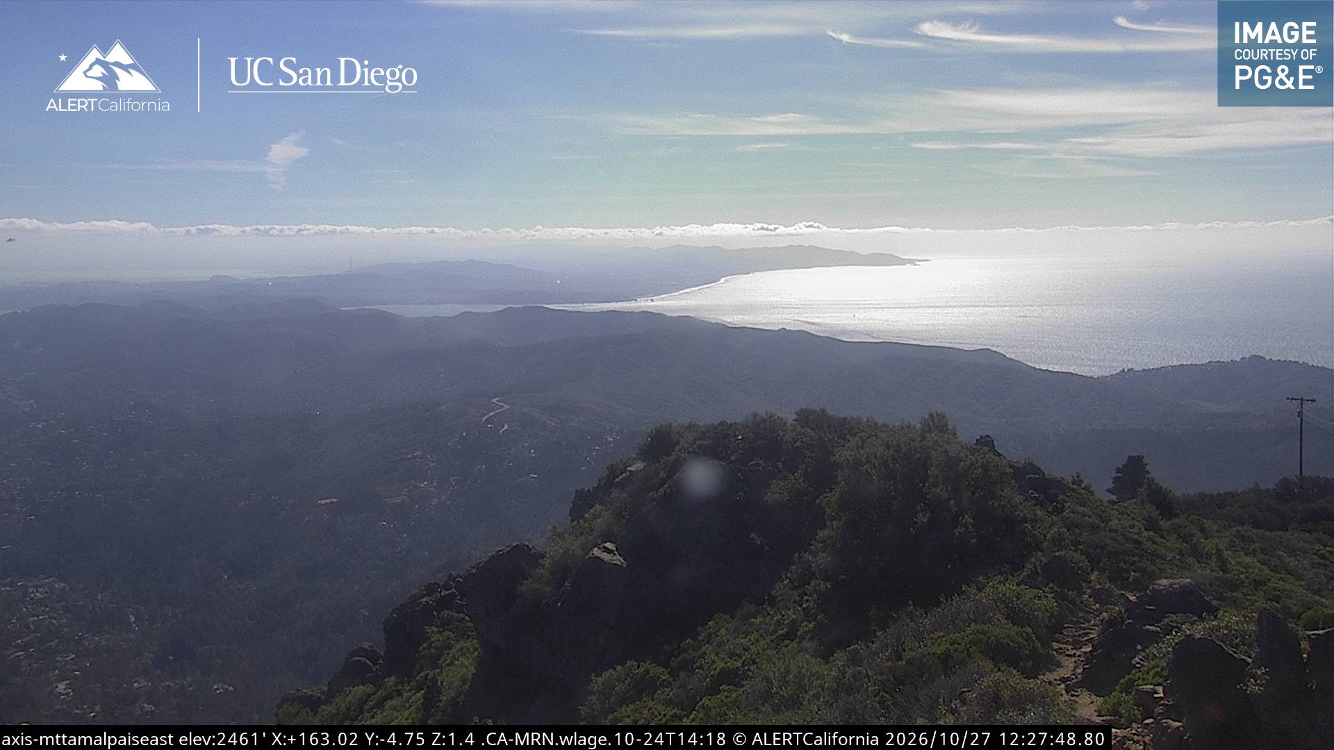
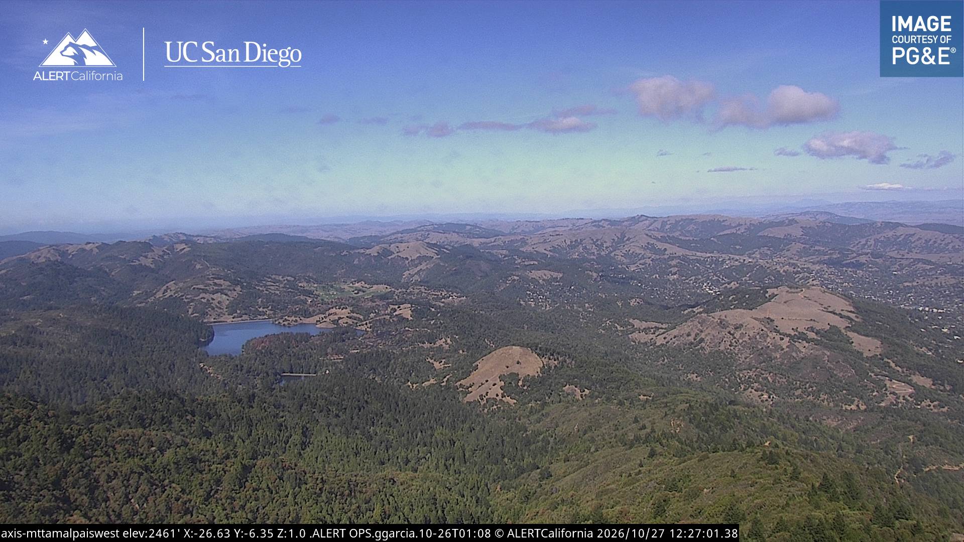
Webcams near Mount Tamalpais


History around Mount Tamalpais
Towns near Mount Tamalpais
- Mill Valley3.9 km away
- Larkspur4.4 km away
- San Anselmo5.9 km away
- Corte Madera6.2 km away
- San Rafael6.4 km away
- Sausalito11 km away