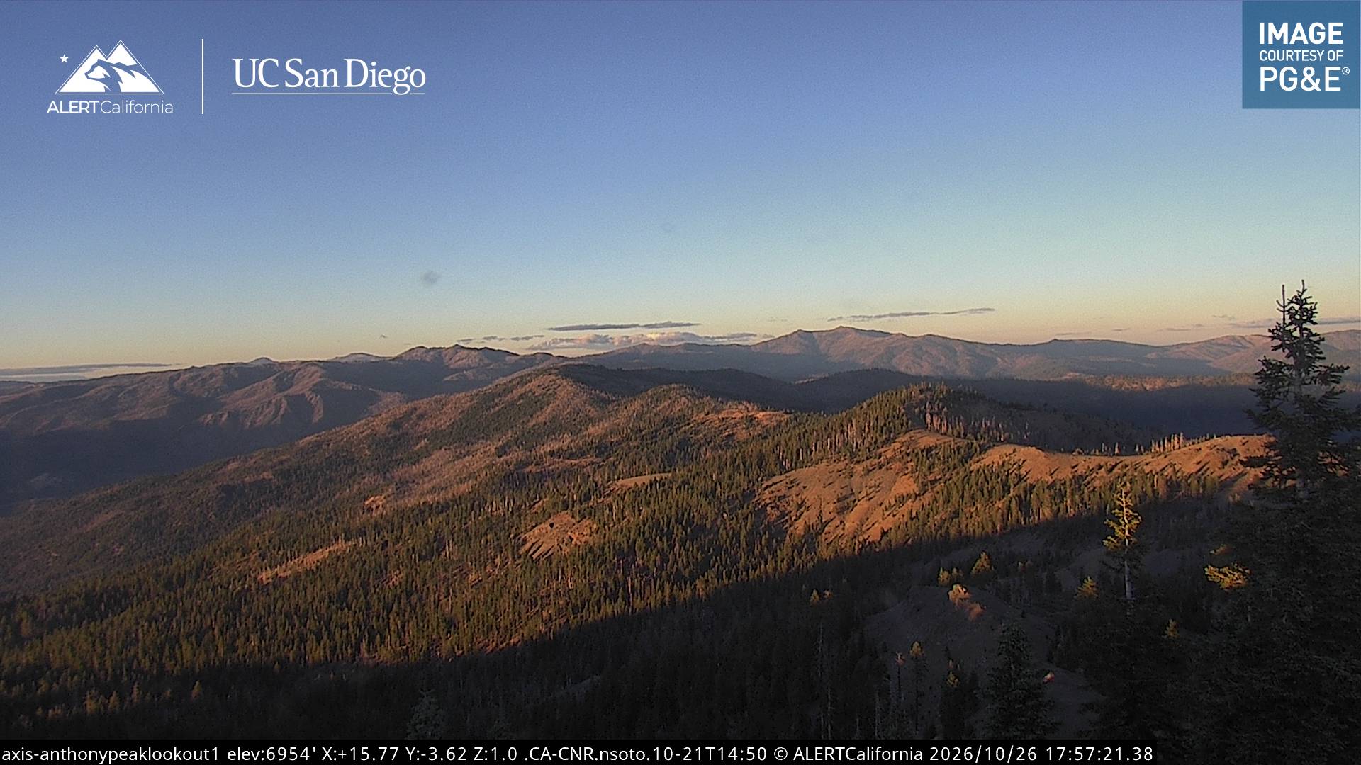
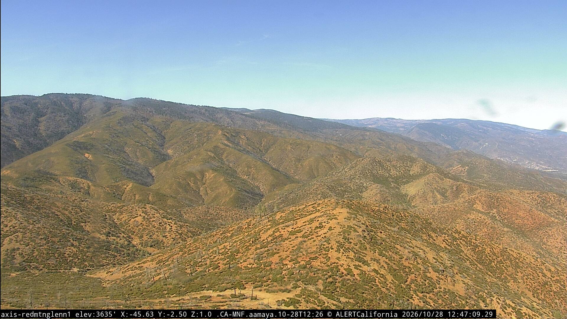
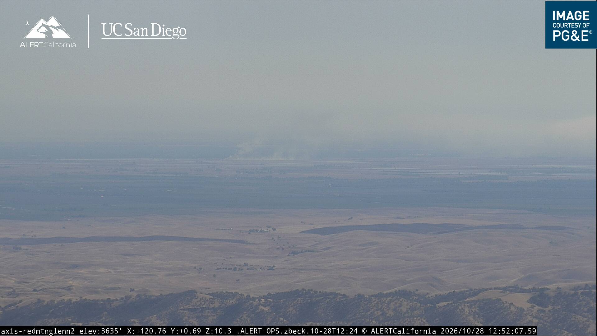
Mountains in United States
See it in 3DBlack Butte
7,455 ft2,272 m
Mountain · California Coast Ranges · United States
Black Butte is a mountain butte located in the Northern Coast Ranges of California south of Mendocino Pass. It rises to an elevation of 7,455 feet (2,272 m) north of the Black Butte River.
From Wikipedia, CC BY-SA · Read the article
At the summit · forecast for 3:00 PM
49 °FMostly clear · wind 4 mph from the W
Weather at the summit of Black Butte, 7,455 ft
- 3:00 PM49 °FW 4 mph–
- 6:00 PM39 °FW 2 mph–
- 9:00 PM34 °FSE 1 mph–
- 12:00 AM31 °FSE 2 mph–
- 3:00 AM32 °FSE 3 mph–
- 6:00 AM31 °FSE 3 mph–
- 9:00 AM35 °FSE 2 mph–
- 12:00 PM47 °FW 3 mph–
| Day | Sky | High / low | Rain | Wind up to |
|---|---|---|---|---|
| Thu, Oct 29 | Cloudy | 48 °F / 31 °F | – | 5 mph |
| Fri, Oct 30 | Partly cloudy | 43 °F / 26 °F | – | 6 mph |
| Sat, Oct 31 | Cloudy | 37 °F / 23 °F | – | 7 mph |
| Sun, Nov 1 | Clear | 39 °F / 21 °F | – | 4 mph |
| Mon, Nov 2 | Cloudy | 50 °F / 28 °F | – | 2 mph |
| Tue, Nov 3 | Cloudy | 53 °F / 37 °F | – | 2 mph |
| Wed, Nov 4 | Cloudy | 51 °F / 36 °F | 0.02 in | 3 mph |
Forecast by MET Norway (CC BY 4.0), updated 10:19 AM PDT. Times are local.
Facts
- What it is
- Mountain
- Height above sea level
- 7,455 ft (2,272 m)
- Prominence
- 2,436 ft (743 m)
- Range
- California Coast Ranges
- Country
- United States
- Coordinates
- 39.727°N 122.872°W
- Source
- Wikidata, CC0
Peaks near Black Butte
- Dicks Butte6,293 ft · 13 km awayOn the map
- Anthony Peak6,958 ft · 15 km awayOn the map
- Mount Linn8,098 ft · 35 km awayOn the map
- Saint John Mountain6,749 ft · 36 km awayOn the map
- Snow Mountain East7,055 ft · 40 km awayOn the map
- Orland Buttes1,037 ft · 47 km awayOn the map
- North Yolla Bolly Mountain7,868 ft · 53 km awayOn the map
- Island Mountain3,847 ft · 59 km awayOn the map
- Tomhead MountainMountain · 46 km awayOn the map
- Horse MountainMountain · 48 km awayOn the map
Highest in the California Coast Ranges
- Mount Linn8,098 ftOn the map
- Black Butte7,455 ftOn the map
- Anthony Peak6,958 ftOn the map
- Saint John Mountain6,749 ftOn the map
- Mount Konocti4,305 ftOn the map
- Mount Tamalpais2,572 ftOn the map
Highest mountains in United States
- Denali20,308 ftOn the map
- Mount Saint Elias18,009 ftOn the map
- Mount Foraker17,402 ftOn the map
- Mount Bona16,535 ftOn the map
- Mount Blackburn16,390 ftOn the map
- Mount Sanford16,237 ftOn the map
- Mount Vancouver15,787 ftOn the map
- Mount Churchill15,636 ftOn the map
- Mount Fairweather15,325 ftOn the map
- Mount Hubbard14,951 ftOn the map