Mountains in United States
See it in 3DDicks Butte
6,293 ft1,918 m
Mountain · United States
Dicks Butte is a summit in Mendocino County, California, in the United States. With an elevation of 6,293 feet (1,918 m), this butte is the 1773rd highest summit in the state of California.
From Wikipedia, CC BY-SA · Read the article
Facts
- What it is
- Mountain
- Height above sea level
- 6,293 ft (1,918 m)
- Prominence
- 203 ft (62 m)
- Country
- United States
- Coordinates
- 39.627°N 122.947°W
- Source
- Wikidata, CC0
Peaks near Dicks Butte
- Black Butte7,455 ft · 13 km awayOn the map
- Anthony Peak6,958 ft · 24 km awayOn the map
- Saint John Mountain6,749 ft · 31 km awayOn the map
- Snow Mountain East7,055 ft · 32 km awayOn the map
- Mount Linn8,098 ft · 46 km awayOn the map
- Orland Buttes1,037 ft · 55 km awayOn the map
- Island Mountain3,847 ft · 60 km awayOn the map
- Horse MountainMountain · 36 km awayOn the map
- Elk MountainMountain · 38 km awayOn the map
- Woodman PeakMountain · 45 km awayOn the map
Highest mountains in United States
- Denali20,308 ftOn the map
- Mount Saint Elias18,009 ftOn the map
- Mount Foraker17,402 ftOn the map
- Mount Bona16,535 ftOn the map
- Mount Blackburn16,390 ftOn the map
- Mount Sanford16,237 ftOn the map
- Mount Vancouver15,787 ftOn the map
- Mount Churchill15,636 ftOn the map
- Mount Fairweather15,325 ftOn the map
- Mount Hubbard14,951 ftOn the map
Webcams near Dicks Butte
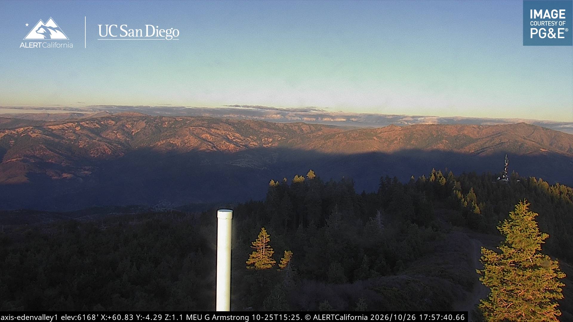
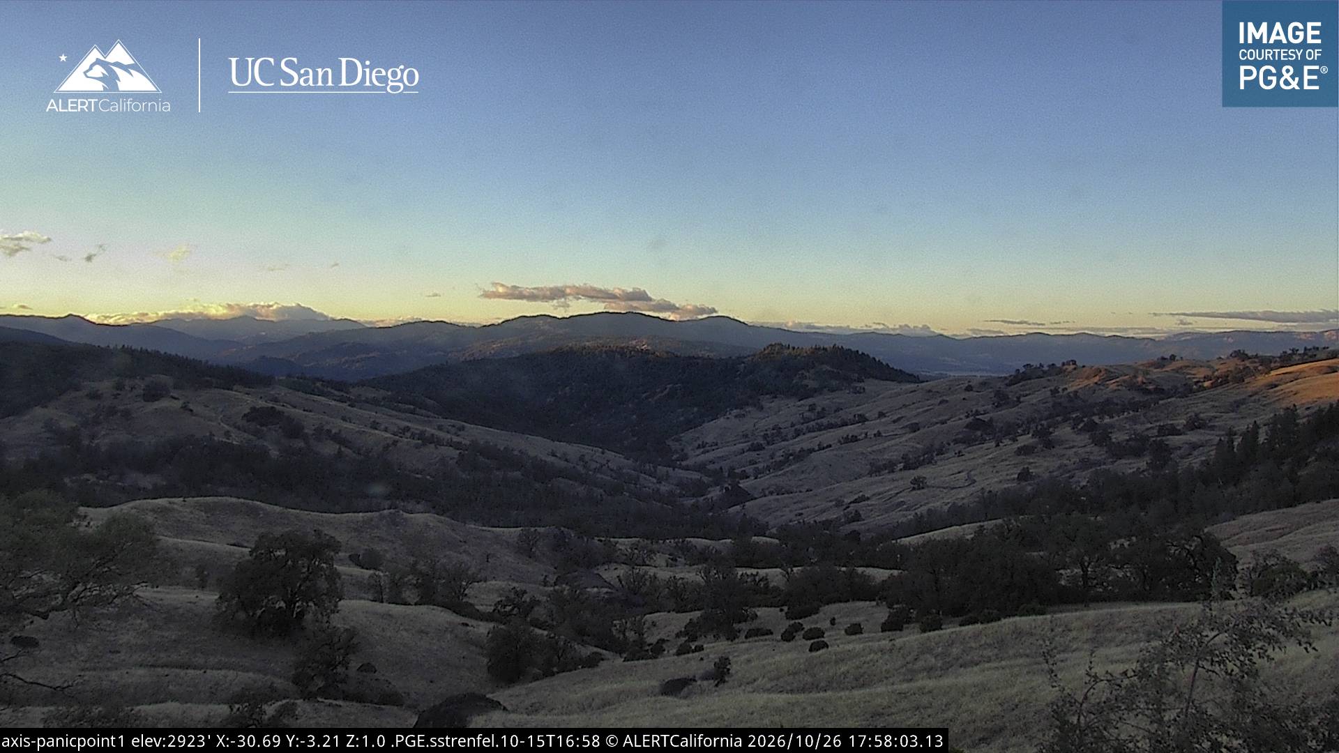
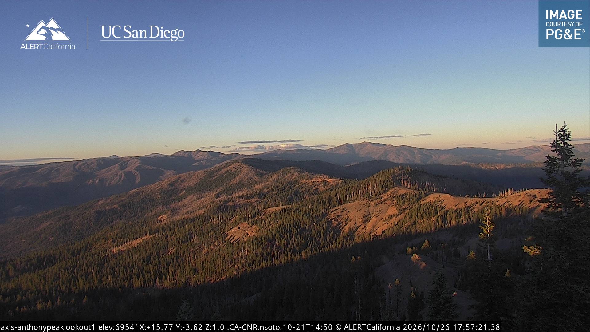
History around Dicks Butte
Towns near Dicks Butte
- Willits42 km away
- Ukiah58 km away
- Lakeport66 km away
- Fort Bragg76 km away
- Clearlake79 km away