美国的山
3D 查看Dicks Butte
6,293 英尺1,918 米
山 · 美国
Dicks Butte is a summit in Mendocino County, California, in the United States. With an elevation of 6,293 feet (1,918 m), this butte is the 1773rd highest summit in the state of California.
来自Wikipedia,CC BY-SA · 阅读文章
山顶 · 18:00 的预报
40 °F少云 · 西北风 3 英里/小时
Dicks Butte山顶天气,6,293 英尺
- 18:0040 °F西北 3 英里/小时–
- 21:0033 °F西北 2 英里/小时–
- 0:0031 °F东北 2 英里/小时–
- 3:0031 °F西北 1 英里/小时–
- 6:0031 °F北 2 英里/小时–
- 9:0038 °F北 2 英里/小时–
- 12:0047 °F西 5 英里/小时–
- 15:0046 °F西北 7 英里/小时–
| 日期 | 天气 | 最高 / 最低 | 雨 | 最大风速 |
|---|---|---|---|---|
| 10月27日周二 | 晴 | 47 °F / 31 °F | – | 7 英里/小时 |
| 10月28日周三 | 晴 | 53 °F / 31 °F | – | 4 英里/小时 |
| 10月29日周四 | 阴 | 48 °F / 33 °F | – | 4 英里/小时 |
| 10月30日周五 | 晴 | 44 °F / 29 °F | – | 3 英里/小时 |
| 10月31日周六 | 多云 | 36 °F / 25 °F | – | 5 英里/小时 |
| 11月1日周日 | 晴 | 50 °F / 26 °F | – | 2 英里/小时 |
| 11月2日周一 | 少云 | 57 °F / 42 °F | – | 2 英里/小时 |
预报来自 MET Norway(CC BY 4.0),更新于 GMT-7 16:20。时间均为当地时间。
基本信息
Dicks Butte附近的山峰
- Black Butte7,455 英尺 · 13 公里外地图上
- Anthony Peak6,958 英尺 · 24 公里外地图上
- Saint John Mountain6,749 英尺 · 31 公里外地图上
- Snow Mountain East7,055 英尺 · 32 公里外地图上
- 林恩山8,098 英尺 · 46 公里外地图上
- Orland Buttes1,037 英尺 · 55 公里外地图上
- Island Mountain3,847 英尺 · 60 公里外地图上
- Horse Mountain山 · 36 公里外地图上
- Elk Mountain山 · 38 公里外地图上
- Woodman Peak山 · 45 公里外地图上
美国最高的山
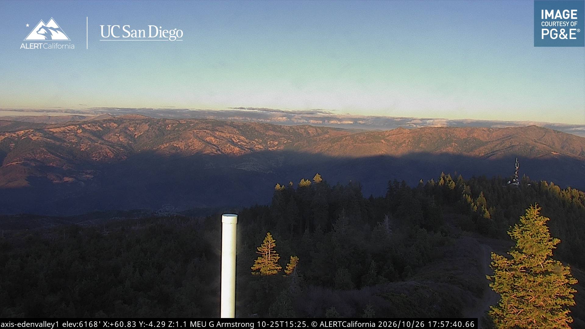
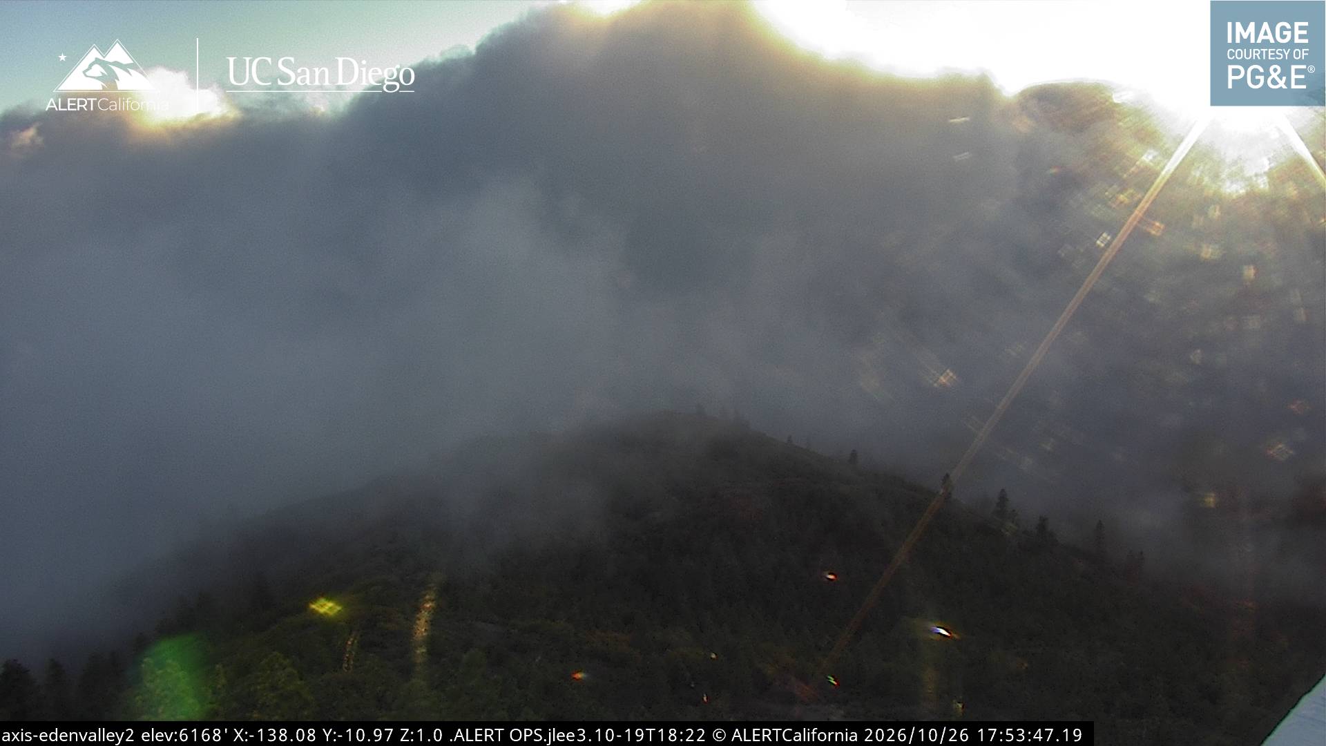
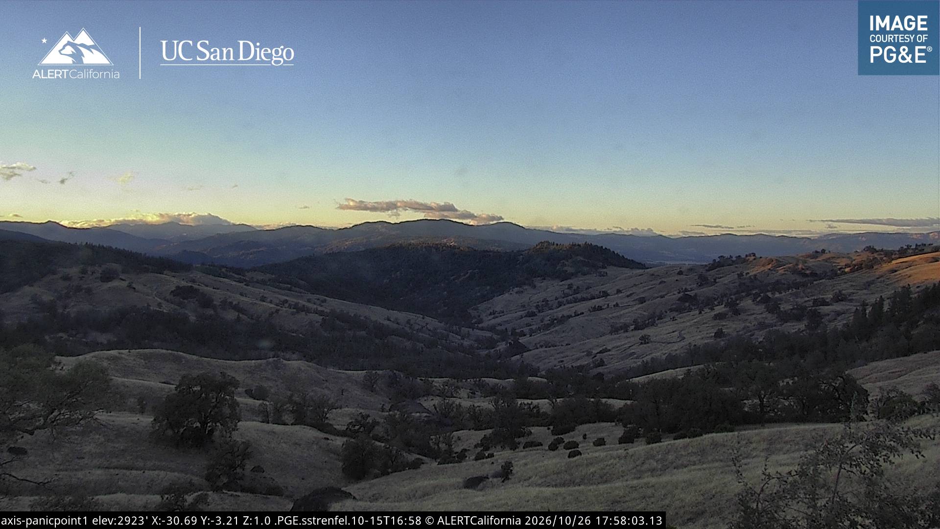
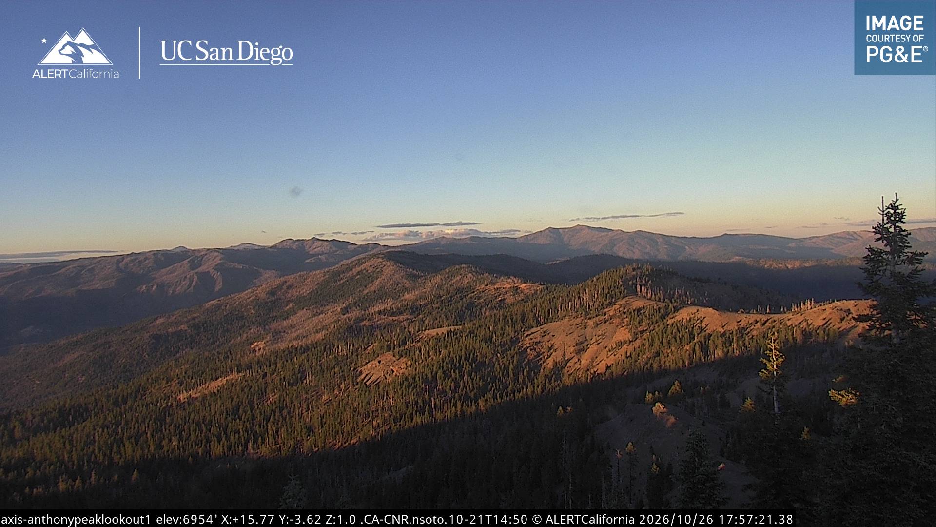
Dicks Butte附近的网络摄像头
Dicks Butte周边的历史
Dicks Butte附近的城镇
- Willits42 公里外
- 尤奇亚58 公里外
- Lakeport66 公里外
- Fort Bragg76 公里外
- 克里尔雷克79 公里外