Tower Butte
5,292 ft1,613 m
山 · アメリカ合衆国
Tower Butte is a 5,287-foot elevation sandstone summit located south of Lake Powell, in northern Arizona. Tower Butte is a butte composed of Romana and Entrada Sandstones with a Morrison Formation caprock.
出典: Wikipedia、CC BY-SA · 記事を読む
山頂 · 19:00 の予報
55 °F快晴 · 北東の風 3 mph
 3D で見る
Tower Butte 山頂の天気(5,292 ft)
- 19:0055 °F北東 3 mph–
- 22:0049 °F南 6 mph–
- 1:0046 °F南 6 mph–
- 4:0044 °F南 5 mph–
- 7:0043 °F南 5 mph–
- 10:0047 °F西 2 mph–
- 13:0053 °F北 5 mph–
- 16:0058 °F北 5 mph–
| 日付 | 天気 | 最高 / 最低 | 雨 | 最大風速 |
|---|---|---|---|---|
| 10月27日(火) | 快晴 | 58 °F / 43 °F | – | 6 mph |
| 10月28日(水) | 晴れ | 59 °F / 43 °F | – | 7 mph |
| 10月29日(木) | 曇り | 56 °F / 44 °F | – | 6 mph |
| 10月30日(金) | 晴れ時々曇り | 57 °F / 45 °F | 0.04 インチ | 4 mph |
| 10月31日(土) | 晴れ | 56 °F / 46 °F | 0.01 インチ | 7 mph |
| 11月1日(日) | 雨 | 51 °F / 47 °F | 0.17 インチ | 6 mph |
| 11月2日(月) | 晴れ | 50 °F / 41 °F | – | 5 mph |
MET Norway(CC BY 4.0)による予報。17:19 GMT-6 更新。時刻は現地時間です。
基本データ
- 種類
- 山
- 標高
- 5,292 ft (1,613 m)
- 座標
- 36.970°N 111.311°W
Tower Butte
Mountain in Coconino County, Arizona, United States
Tower Butte is a 5,287-foot elevation sandstone summit located south of Lake Powell, in northern Arizona. Tower Butte is a butte composed of Romana and Entrada Sandstones with a Morrison Formation caprock. It is situated 9 miles (14 km) northeast of the town of Page, and 7.5 miles north of LeChee Rock, on Navajo Nation land, towering over 1,000 feet above the surrounding terrain as an iconic landmark of the area.
出典: Wikipedia、CC BY-SA · 記事を読む
Tower Butte周辺の山
- Padres Butte4,026 ft · 9.1 km先地図上
- Bush Head6,033 ft · 37 km先地図上
- Navajo Mountain10,387 ft · 40 km先地図上
- Square Butte山 · 53 km先地図上
アメリカ合衆国の高い山
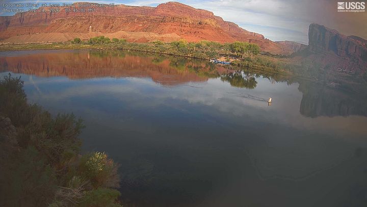
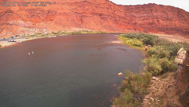
Tower Butte周辺のライブカメラ
Tower Butte周辺の歴史
- Apache Wars1849
Tower Butte周辺の町
- Page18 km先