Tower Butte
5,292 ft1,613 m
Mountain · United States
Tower Butte is a 5,287-foot elevation sandstone summit located south of Lake Powell, in northern Arizona. Tower Butte is a butte composed of Romana and Entrada Sandstones with a Morrison Formation caprock.
From Wikipedia, CC BY-SA · Read the article
At the summit · forecast for 8:00 AM
43 °FClear · wind 6 mph from the S
 See it in 3D
Weather at the summit of Tower Butte, 5,292 ft
- 8:00 AM43 °FS 6 mph–
- 11:00 AM49 °FNW 4 mph–
- 2:00 PM56 °FN 5 mph–
- 5:00 PM58 °FN 6 mph–
- 8:00 PM54 °FSE 4 mph–
- 11:00 PM50 °FS 7 mph–
- 2:00 AM48 °FS 6 mph–
- 5:00 AM46 °FS 7 mph–
| Day | Sky | High / low | Rain | Wind up to |
|---|---|---|---|---|
| Today | Clear | 58 °F / 43 °F | – | 7 mph |
| Wed, Oct 28 | Clear | 59 °F / 44 °F | – | 7 mph |
| Thu, Oct 29 | Partly cloudy | 59 °F / 44 °F | – | 6 mph |
| Fri, Oct 30 | Partly cloudy | 57 °F / 45 °F | 0.04 in | 4 mph |
| Sat, Oct 31 | Mostly clear | 56 °F / 46 °F | 0.01 in | 7 mph |
| Sun, Nov 1 | Rain | 51 °F / 47 °F | 0.17 in | 6 mph |
| Mon, Nov 2 | Mostly clear | 50 °F / 41 °F | – | 5 mph |
Forecast by MET Norway (CC BY 4.0), updated 03:22 AM MDT. Times are local.
Facts
- What it is
- Mountain
- Height above sea level
- 5,292 ft (1,613 m)
- Country
- United States
- Coordinates
- 36.970°N 111.311°W
- Source
- Wikidata, CC0
Tower Butte
Mountain in Coconino County, Arizona, United States
Tower Butte is a 5,287-foot elevation sandstone summit located south of Lake Powell, in northern Arizona. Tower Butte is a butte composed of Romana and Entrada Sandstones with a Morrison Formation caprock. It is situated 9 miles (14 km) northeast of the town of Page, and 7.5 miles north of LeChee Rock, on Navajo Nation land, towering over 1,000 feet above the surrounding terrain as an iconic landmark of the area.
From Wikipedia, CC BY-SA · Read the article
Peaks near Tower Butte
- Padres Butte4,026 ft · 9.1 km awayOn the map
- Bush Head6,033 ft · 37 km awayOn the map
- Navajo Mountain10,387 ft · 40 km awayOn the map
- Square ButteMountain · 53 km awayOn the map
Highest mountains in United States
- Denali20,308 ftOn the map
- Mount Saint Elias18,009 ftOn the map
- Mount Foraker17,402 ftOn the map
- Mount Bona16,535 ftOn the map
- Mount Blackburn16,390 ftOn the map
- Mount Sanford16,237 ftOn the map
- Mount Vancouver15,787 ftOn the map
- Mount Churchill15,636 ftOn the map
- Mount Fairweather15,325 ftOn the map
- Mount Hubbard14,951 ftOn the map
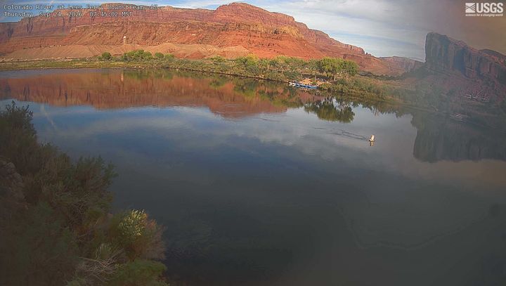
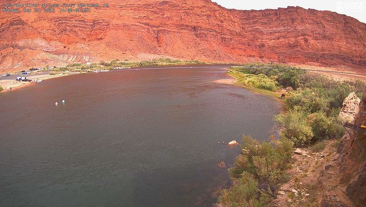
Webcams near Tower Butte
History around Tower Butte
- Apache Wars1849
Towns near Tower Butte
- Page18 km away