アメリカ合衆国の山
Upton's Hill
丘 · アメリカ合衆国
Upton's Hill, or Upton Hill, is a geographic eminence located in western Arlington County, Virginia. Its summit rises to 413 feet (126 m) above sea level and is located in Fairfax County just over the Arlington county boundary and just east of the driveway to Upton Hill Regional Park, near the batting cage.
出典: Wikipedia、CC BY-SA · 記事を読む
山頂 · 22:00 の予報
56 °F快晴 · 西の風 6 mph
 3D で見る
Upton's Hillの天気予報
- 22:0056 °F西 6 mph–
- 1:0055 °F北西 7 mph–
- 4:0053 °F北西 7 mph–
- 7:0053 °F北 7 mph–
- 10:0059 °F北東 6 mph–
- 13:0065 °F北東 4 mph–
- 16:0066 °F東 3 mph–
- 19:0059 °F東 5 mph–
| 日付 | 天気 | 最高 / 最低 | 雨 | 最大風速 |
|---|---|---|---|---|
| 10月27日(火) | 快晴 | 67 °F / 53 °F | – | 8 mph |
| 10月28日(水) | 晴れ時々曇り | 65 °F / 49 °F | – | 5 mph |
| 10月29日(木) | 快晴 | 68 °F / 49 °F | – | 6 mph |
| 10月30日(金) | 快晴 | 74 °F / 52 °F | – | 6 mph |
| 10月31日(土) | 曇り | 63 °F / 49 °F | – | 6 mph |
| 11月1日(日) | 曇り | 69 °F / 50 °F | 0 インチ | 9 mph |
| 11月2日(月) | 曇り | 66 °F / 57 °F | 0.39 インチ | 9 mph |
MET Norway(CC BY 4.0)による予報。21:17 GMT-4 更新。時刻は現地時間です。
基本データ
- 種類
- 丘
- 座標
- 38.874°N 77.146°W
Upton's Hill周辺の山
- Point Reno409 ft · 11 km先地図上
- Hogback Mountain670 ft · 47 km先地図上
- Sugar Loaf Mountain1,282 ft · 48 km先地図上
- Tinner Hill丘 · 2.7 km先地図上
- Minor's Hill山 · 3.4 km先地図上
- Mason's Hill丘 · 4.7 km先地図上
- Furnace Mountain山 · 56 km先地図上
アメリカ合衆国の高い山
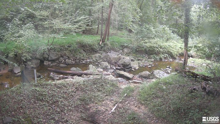
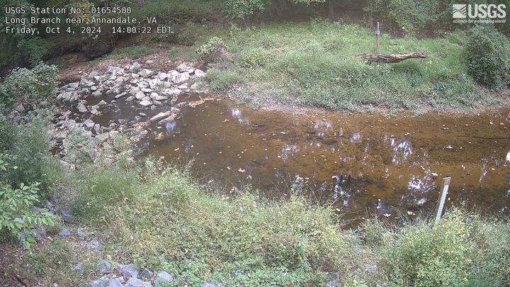
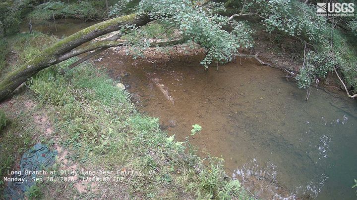
Upton's Hill周辺のライブカメラ

Upton's Hill周辺の歴史
- Egypt–Israel Peace Treaty1979
- 2025 Potomac River mid-air collision2025
- Hay–Bunau-Varilla Treaty1903
- Alaska Purchase1867
- Armenia-Azerbaijan peace agreement2025
- The Oslo Accords are officially signed at a public ceremony in Washington, DC in the presence of Israeli Prime Minister Yitzhak Rabin1993
- The North Atlantic Treaty is signed in Washington, D.C., creating the NATO defense alliance1949
- Declaration by United Nations1942
Upton's Hill周辺の町
- ベイリーズ・クロスローズ3 km先
- アーリントン3.7 km先
- West Falls Church3.7 km先
- Idylwood6.1 km先
- リンカニア6.2 km先
- アナンデール6.5 km先