Point Reno
409 ft125 m
丘 · South Mountain · アメリカ合衆国
Fort Reno Park is an urban park in the Tenleytown neighborhood of Northwest Washington, D.C. It is named after Fort Reno, one of the only locations in the District of Columbia to see combat during the American Civil War.
出典: Wikipedia、CC BY-SA · 記事を読む
山頂 · 22:00 の予報
55 °F快晴 · 西の風 6 mph
 3D で見る
Point Reno 山頂の天気(409 ft)
- 22:0055 °F西 6 mph–
- 1:0054 °F北西 7 mph–
- 4:0052 °F北西 7 mph–
- 7:0053 °F北 7 mph–
- 10:0059 °F北東 7 mph–
- 13:0065 °F北東 3 mph–
- 16:0067 °F東 3 mph–
- 19:0059 °F南東 6 mph–
| 日付 | 天気 | 最高 / 最低 | 雨 | 最大風速 |
|---|---|---|---|---|
| 10月27日(火) | 快晴 | 67 °F / 52 °F | – | 7 mph |
| 10月28日(水) | 晴れ時々曇り | 65 °F / 49 °F | – | 6 mph |
| 10月29日(木) | 晴れ | 69 °F / 49 °F | – | 6 mph |
| 10月30日(金) | 快晴 | 74 °F / 53 °F | – | 7 mph |
| 10月31日(土) | 曇り | 63 °F / 48 °F | – | 6 mph |
| 11月1日(日) | 曇り | 69 °F / 50 °F | 0.01 インチ | 9 mph |
| 11月2日(月) | 曇り | 65 °F / 57 °F | 0.39 インチ | 9 mph |
MET Norway(CC BY 4.0)による予報。19:19 GMT-4 更新。時刻は現地時間です。
基本データ
- 種類
- 丘
- 標高
- 409 ft (125 m)
- プロミネンス
- 75 ft (23 m)
- 孤立度
- より高い地点まで 6.8 km
- 山脈
- South Mountain
- 座標
- 38.952°N 77.076°W
Fort Reno Park
Park in Washington, D.C., U.S.
Fort Reno Park is an urban park in the Tenleytown neighborhood of Northwest Washington, D.C. It is named after Fort Reno, one of the only locations in the District of Columbia to see combat during the American Civil War. The park was established in the 1920s to clear an African American neighborhood called Reno from the site, in what was becoming an affluent white suburban area.
出典: Wikipedia、CC BY-SA · 記事を読む
Point Reno周辺の山
- Sugar Loaf Mountain1,282 ft · 44 km先地図上
- Hogback Mountain670 ft · 48 km先地図上
- Minor's Hill山 · 8.9 km先地図上
- Upton's Hill丘 · 11 km先地図上
- Tinner Hill丘 · 12 km先地図上
- Mason's Hill丘 · 15 km先地図上
- Furnace Mountain山 · 54 km先地図上
South Mountainの最高峰
- Quirauk Mountain2,142 ft地図上
- Lambs Knoll1,758 ft地図上
- Point Reno409 ft地図上
アメリカ合衆国の高い山
Point Reno周辺のライブカメラ
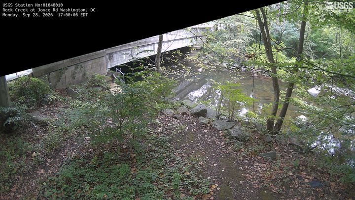

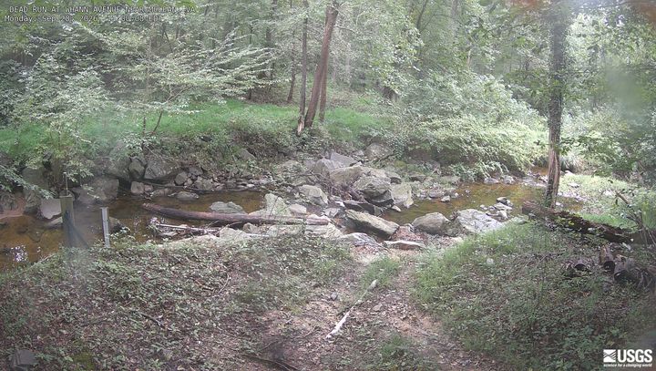
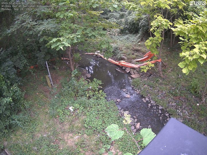
Point Reno周辺の歴史
- Egypt–Israel Peace Treaty1979
- 2025 Potomac River mid-air collision2025
- Hay–Bunau-Varilla Treaty1903
- Alaska Purchase1867
- Armenia-Azerbaijan peace agreement2025
- The Oslo Accords are officially signed at a public ceremony in Washington, DC in the presence of Israeli Prime Minister Yitzhak Rabin1993
- The North Atlantic Treaty is signed in Washington, D.C., creating the NATO defense alliance1949
- Declaration by United Nations1942
Point Reno周辺の町
- Chevy Chase Village2 km先
- ベセスダ3.8 km先
- Mount Pleasant3.9 km先
- Central 14th Street / Spring Road4.1 km先
- ブライトウッド4.3 km先
- Petworth4.5 km先