Point Reno
409 英尺125 米
丘陵 · South Mountain · 美国
Fort Reno Park is an urban park in the Tenleytown neighborhood of Northwest Washington, D.C. It is named after Fort Reno, one of the only locations in the District of Columbia to see combat during the American Civil War.
来自Wikipedia,CC BY-SA · 阅读文章
山顶 · 2:00 的预报
53 °F晴 · 西北风 7 英里/小时
 3D 查看
Point Reno山顶天气,409 英尺
- 2:0053 °F西北 7 英里/小时–
- 5:0053 °F北 7 英里/小时–
- 8:0052 °F北 7 英里/小时–
- 11:0062 °F东北 6 英里/小时–
- 14:0067 °F东 3 英里/小时–
- 17:0066 °F东南 4 英里/小时–
- 20:0057 °F东 5 英里/小时–
- 23:0054 °F东 5 英里/小时–
| 日期 | 天气 | 最高 / 最低 | 雨 | 最大风速 |
|---|---|---|---|---|
| 今天 | 晴 | 67 °F / 52 °F | – | 7 英里/小时 |
| 10月28日周三 | 多云 | 65 °F / 49 °F | – | 6 英里/小时 |
| 10月29日周四 | 晴 | 68 °F / 49 °F | – | 6 英里/小时 |
| 10月30日周五 | 晴 | 74 °F / 53 °F | – | 7 英里/小时 |
| 10月31日周六 | 阴 | 63 °F / 48 °F | – | 6 英里/小时 |
| 11月1日周日 | 阴 | 69 °F / 50 °F | 0.01 英寸 | 9 英里/小时 |
| 11月2日周一 | 阴 | 65 °F / 57 °F | 0.39 英寸 | 9 英里/小时 |
预报来自 MET Norway(CC BY 4.0),更新于 GMT-4 21:17。时间均为当地时间。
基本信息
Fort Reno Park
Park in Washington, D.C., U.S.
Fort Reno Park is an urban park in the Tenleytown neighborhood of Northwest Washington, D.C. It is named after Fort Reno, one of the only locations in the District of Columbia to see combat during the American Civil War. The park was established in the 1920s to clear an African American neighborhood called Reno from the site, in what was becoming an affluent white suburban area.
来自Wikipedia,CC BY-SA · 阅读文章
Point Reno附近的山峰
- 塔糖山1,282 英尺 · 44 公里外地图上
- Hogback Mountain670 英尺 · 48 公里外地图上
- Minor's Hill山 · 8.9 公里外地图上
- Upton's Hill丘陵 · 11 公里外地图上
- Tinner Hill丘陵 · 12 公里外地图上
- Mason's Hill丘陵 · 15 公里外地图上
- Furnace Mountain山 · 54 公里外地图上
South Mountain最高峰
- Quirauk Mountain2,142 英尺地图上
- Lambs Knoll1,758 英尺地图上
- Point Reno409 英尺地图上
美国最高的山
Point Reno附近的网络摄像头
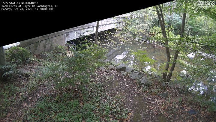

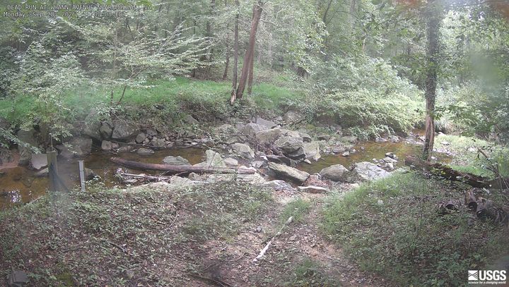
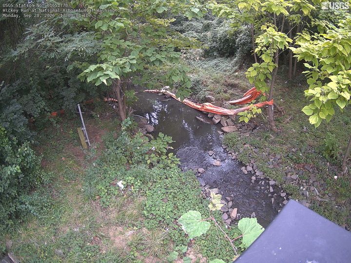
Point Reno周边的历史
- Egypt–Israel Peace Treaty1979
- 2025 Potomac River mid-air collision2025
- Hay–Bunau-Varilla Treaty1903
- Alaska Purchase1867
- Armenia-Azerbaijan peace agreement2025
- The Oslo Accords are officially signed at a public ceremony in Washington, DC in the presence of Israeli Prime Minister Yitzhak Rabin1993
- The North Atlantic Treaty is signed in Washington, D.C., creating the NATO defense alliance1949
- Declaration by United Nations1942
Point Reno附近的城镇
- Chevy Chase Village2 公里外
- 贝塞斯达3.8 公里外
- Mount Pleasant3.9 公里外
- Central 14th Street / Spring Road4.1 公里外
- Brightwood4.3 公里外
- 佩特沃思4.5 公里外