USGS Peak
11,982 ft3,652 m
山 · Lost River Range · アメリカ合衆国
USGS Peak, at 11,982 feet (3,652 m) above sea level, is the eleventh-highest peak in the U.S. state of Idaho and the ninth-highest in the Lost River Range. The peak is located in Salmon-Challis National Forest in Custer County.
出典: Wikipedia、CC BY-SA · 記事を読む
山頂 · 14:00 の予報
19 °F曇り · 南西の風 6 mph
 3D で見る
USGS Peak 山頂の天気(11,982 ft)
- 14:0019 °F南西 6 mph–
- 17:0018 °F南西 5 mph0.02 インチ
- 20:0013 °F北西 3 mph0 インチ
- 23:0010 °F北西 3 mph–
- 2:008 °F北西 4 mph–
- 5:007 °F北西 4 mph–
- 8:006 °F北西 3 mph–
- 11:0017 °F南西 4 mph–
| 日付 | 天気 | 最高 / 最低 | 雨 | 最大風速 |
|---|---|---|---|---|
| 10月28日(水) | 快晴 | 20 °F / 6 °F | – | 6 mph |
| 10月29日(木) | 晴れ | 25 °F / 10 °F | 0.01 インチ | 7 mph |
| 10月30日(金) | 小雪 | 23 °F / 16 °F | 0.07 インチ | 4 mph |
| 10月31日(土) | 雪 | 21 °F / 18 °F | 0.24 インチ | 2 mph |
| 11月1日(日) | 雪 | 19 °F / 9 °F | 0.44 インチ | 7 mph |
| 11月2日(月) | 快晴 | 14 °F / 5 °F | – | 6 mph |
| 11月3日(火) | 曇り | 25 °F / 11 °F | – | 1 mph |
MET Norway(CC BY 4.0)による予報。13:17 GMT-6 更新。時刻は現地時間です。
基本データ
- 種類
- 山
- 標高
- 11,982 ft (3,652 m)
- プロミネンス
- 1,782 ft (543 m)
- 山脈
- Lost River Range
- 親ピーク
- Mount Church
- 座標
- 44.013°N 113.582°W
USGS Peak
Mountain in Idaho, United States
USGS Peak, at 11,982 feet (3,652 m) above sea level, is the eleventh-highest peak in the U.S. state of Idaho and the ninth-highest in the Lost River Range. The peak is located in Salmon-Challis National Forest in Custer County. It is 1.6 miles (2.6 km) northeast of Mount McCaleb and 4.15 miles (6.68 km) southeast of Lost River Peak, its line parent.
出典: Wikipedia、CC BY-SA · 記事を読む
USGS Peak周辺の山
- Lost River Peak12,078 ft · 6.7 km先地図上
- Mount Breitenbach12,140 ft · 9.4 km先地図上
- No Regret Peak11,972 ft · 11 km先地図上
- Donaldson Peak12,023 ft · 11 km先地図上
- Mount Church12,200 ft · 12 km先地図上
- Leatherman Peak12,228 ft · 14 km先地図上
- White Cap Peak11,899 ft · 16 km先地図上
- Mount Idaho12,065 ft · 19 km先地図上
- Borah Peak12,654 ft · 21 km先地図上
- Shelly Mountain11,283 ft · 24 km先地図上
親ピーク
プロミネンスの基準となる、最も近いより高い山。
- Mount Church12,200 ft地図上
Lost River Rangeの最高峰
- Borah Peak12,654 ft地図上
- Leatherman Peak12,228 ft地図上
- Mount Idaho12,065 ft地図上
- USGS Peak11,982 ft地図上
- Dickey Peak11,146 ft地図上
アメリカ合衆国の高い山
USGS Peak周辺のライブカメラ
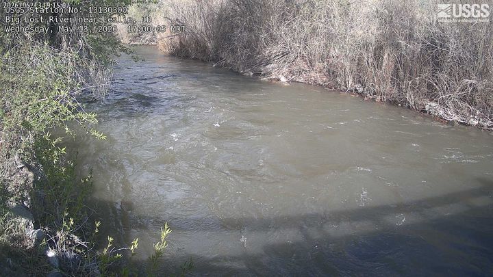

USGS Peak周辺の町
- Sun Valley71 km先