 See it in 3D
Facts
- What it is
- Mountain
- Height above sea level
- 11,982 ft (3,652 m)
- Prominence
- 1,782 ft (543 m)
- Range
- Lost River Range
- Parent peak
- Mount Church
- Country
- United States
- Coordinates
- 44.013°N 113.582°W
- Source
- Wikidata, CC0
Peaks near USGS Peak
- Lost River Peak12,078 ft · 6.7 km awayOn the map
- Mount Breitenbach12,140 ft · 9.4 km awayOn the map
- No Regret Peak11,972 ft · 11 km awayOn the map
- Donaldson Peak12,023 ft · 11 km awayOn the map
- Mount Church12,200 ft · 12 km awayOn the map
- Leatherman Peak12,228 ft · 14 km awayOn the map
- White Cap Peak11,899 ft · 16 km awayOn the map
- Mount Idaho12,065 ft · 19 km awayOn the map
- Borah Peak12,654 ft · 21 km awayOn the map
- Shelly Mountain11,283 ft · 24 km awayOn the map
Parent peak
The nearest higher peak its prominence is measured to.
- Mount Church12,200 ftOn the map
Highest in the Lost River Range
- Borah Peak12,654 ftOn the map
- Leatherman Peak12,228 ftOn the map
- Mount Idaho12,065 ftOn the map
- USGS Peak11,982 ftOn the map
- Dickey Peak11,146 ftOn the map
Highest mountains in United States
- Denali20,308 ftOn the map
- Mount Saint Elias18,009 ftOn the map
- Mount Foraker17,402 ftOn the map
- Mount Bona16,535 ftOn the map
- Mount Blackburn16,390 ftOn the map
- Mount Sanford16,237 ftOn the map
- Mount Vancouver15,787 ftOn the map
- Mount Churchill15,636 ftOn the map
- Mount Fairweather15,325 ftOn the map
- Mount Hubbard14,951 ftOn the map
Webcams near USGS Peak
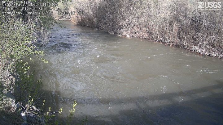

Towns near USGS Peak
- Sun Valley71 km away