Back in time
Plague and epidemics
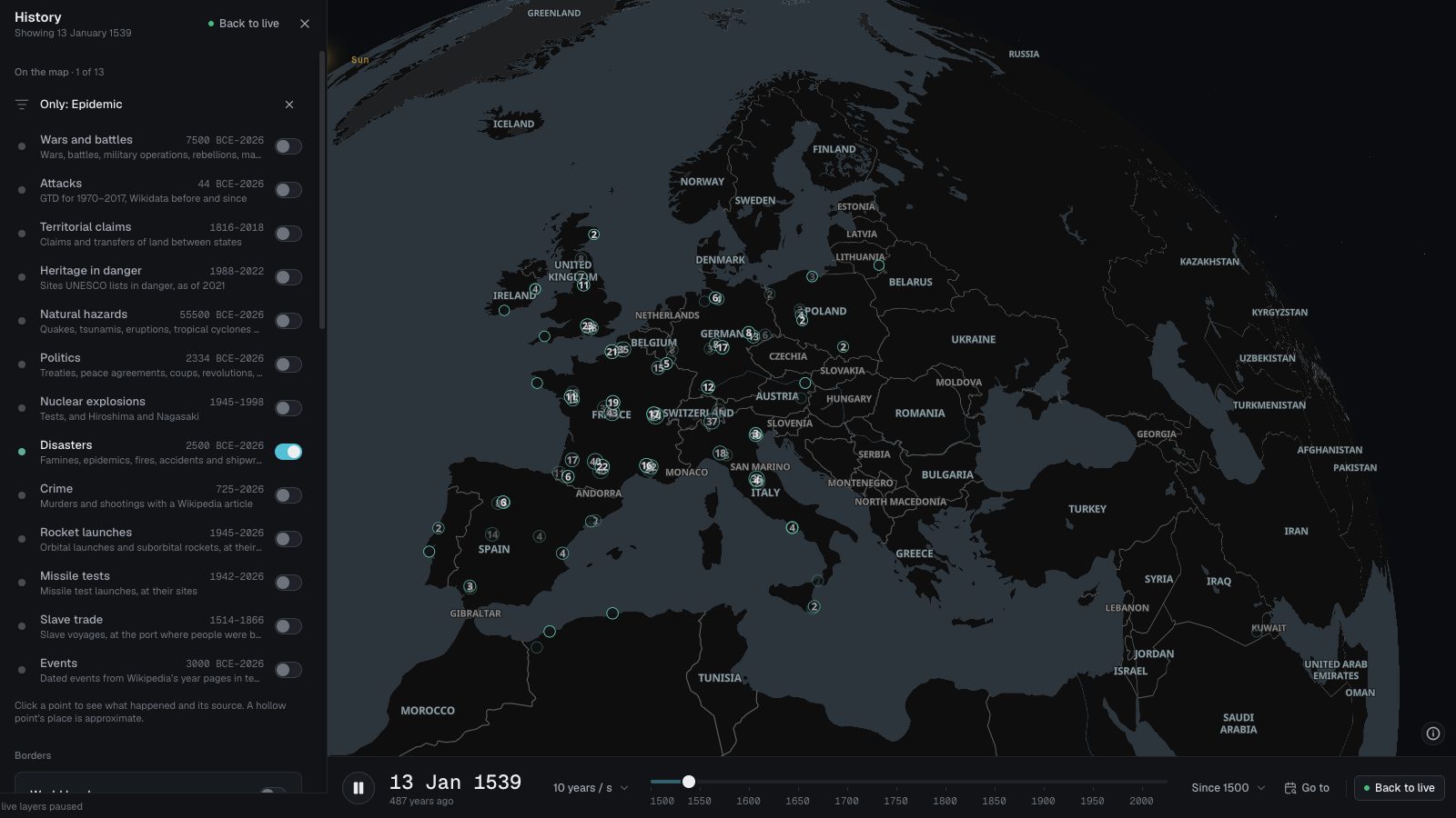
The plague outbreaks Jean-Noël Biraben listed town by town, from the Black Death in 1347 to 1900, and the epidemics in Wikidata, from the plague of Athens to this decade.
 Open the live map
What you see
- Each outbreak as a teal disaster mark at its town, in the year it struck; where a view holds more than 2,000 they gather into counted bubbles.
- A page for each epidemic with an article, with its Wikipedia summary.
- Opened from this page, the map plays the plague’s years, 1347 to 1720, over Europe.
Where the data comes from
- Büntgen et al. 2012Biraben’s list of plague outbreaks (1975–76), digitised by Büntgen and colleagues at WSL: one outbreak per town and year.
- WikidataItems that are epidemics or pandemics, with a date and a place; most have a Wikipedia article.
The plague list is closed; Wikidata’s epidemics are taken when the set is imported.
Good to know
- The plague outbreaks cover Europe and the Mediterranean’s shores only, and only the towns Biraben found records for.
- France is over-represented, with nearly four in ten outbreaks; Britain has about one in six.
- An outbreak is dated to the year, and a town counts once a year however long it lasted.
- No deaths are given for either set.
The first recorded here in each century
- Asuka plague585 · Epidemic
- Plague of Amwas638 · Epidemic
- 735–737 Japanese smallpox epidemic734 · Epidemic
- Black Death1346 · Epidemic
- Castilian Plague of 14221422 · Epidemic
- 1510 Influenza pandemicJun 1510 · Epidemic
- 1603 London plague1603 · Epidemic
- 1707–1709 Iceland smallpox epidemic1707 · Epidemic
- Ottoman plague of 1812–19Jul 1812 · Epidemic
- Malaria in Mandatory Palestine1900 · Epidemic
- 2000 Japan foot-and-mouth outbreak2000 · Epidemic
Goes well with
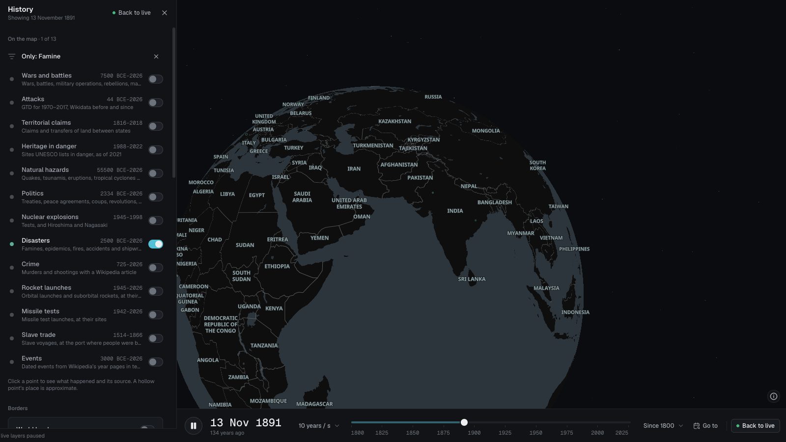 Famines in historyThe famines that have a Wikipedia article, from Japan’s Yōwa famine of 1181 to this decade, on one map: 67 of them, each placed where it struck.
 Disease outbreaksDisease outbreaks reported by the WHO, US CDC travel notices and ECDC, pinned to the country they concern, from the last 90 days, on a live map.
 The world through historyAn interactive historical atlas: the world’s borders year by year from 3400 BCE, with wars, battles and other events from 7500 BCE, on a 3D globe.