Facts
- What it is
- Mountain
- Country
- Norway
- Coordinates
- 69.980°N 22.628°E
- Source
- Wikidata, CC0
Peaks near Ákšoalggečohkka
- Skoddevarre434 m · 20 km awayOn the map
- Svartfjellet1,162 m · 37 km awayOn the map
- Seilandstuva1,078 m · 55 km awayOn the map
- mountain-25427850Mountain · 3.5 km awayOn the map
- LangfjelletMountain · 5.7 km awayOn the map
- Vilgesrašša974 m · 5.8 km awayOn the map
- Lassefjellet, Alta1,124 m · 6.5 km awayOn the map
- Haldde1,149 m · 8.9 km awayOn the map
- Ailegas539 m · 18 km awayOn the map
- mountain-603214651,013 m · 20 km awayOn the map
Highest mountains in Norway
- Galdhøpiggen2,469 mOn the map
- Glittertind2,464 mOn the map
- Store Skagastølstind2,406 mOn the map
- Surtningssue2,368 mOn the map
- Store Memurutinden2,365 mOn the map
- Store Hellstugutinden2,346 mOn the map
- Store Knutsholstinden2,339 mOn the map
- Tjørnholstind2,323 mOn the map
- Bukkehøe2,314 mOn the map
- Dovrefjell2,286 mOn the map
Webcams near Ákšoalggečohkka
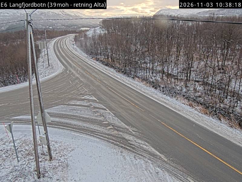
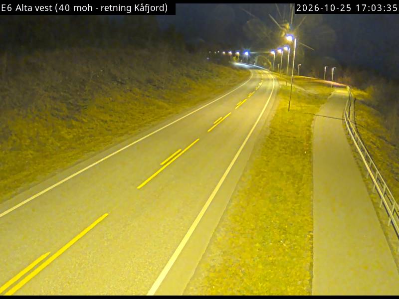
History around Ákšoalggečohkka
Towns near Ákšoalggečohkka
- Alta25 km away