Mountains in United States
See it in 3DAmelia Earhart Peak
11,975 ft3,650 m
Mountain · Cathedral Range · United States
Amelia Earhart Peak is a summit in Tuolumne County, California, in the United States. With an elevation of 11,978 feet (3,651 m), Amelia Earhart Peak is the 304th highest summit in the state of California.
From Wikipedia, CC BY-SA · Read the article
At the summit · forecast for 1:00 PM
37 °FPartly cloudy · wind 8 mph from the SW
Weather at the summit of Amelia Earhart Peak, 11,975 ft
- 1:00 PM37 °FSW 8 mph–
- 4:00 PM34 °FSW 6 mph–
- 7:00 PM24 °FSE 3 mph–
- 10:00 PM22 °FSE 3 mph–
- 1:00 AM23 °FSE 4 mph–
- 4:00 AM24 °FSE 4 mph–
- 7:00 AM23 °FS 6 mph–
- 10:00 AM31 °FS 8 mph–
| Day | Sky | High / low | Rain | Wind up to |
|---|---|---|---|---|
| Thu, Oct 29 | Cloudy | 32 °F / 20 °F | – | 11 mph |
| Fri, Oct 30 | Cloudy | 27 °F / 19 °F | 0.13 in | 9 mph |
| Sat, Oct 31 | Snow | 26 °F / 15 °F | 0.52 in | 10 mph |
| Sun, Nov 1 | Clear | 22 °F / 7 °F | 0.15 in | 8 mph |
| Mon, Nov 2 | Mostly clear | 37 °F / 13 °F | – | 3 mph |
| Tue, Nov 3 | Cloudy | 44 °F / 26 °F | – | 3 mph |
| Wed, Nov 4 | Cloudy | 42 °F / 25 °F | – | 3 mph |
Forecast by MET Norway (CC BY 4.0), updated 04:19 AM PDT. Times are local.
Facts
- What it is
- Mountain
- Height above sea level
- 11,975 ft (3,650 m)
- Range
- Cathedral Range
- Parent peak
- Simmons Peak
- Country
- United States
- Coordinates
- 37.786°N 119.288°W
- Source
- Wikidata, CC0
Peaks near Amelia Earhart Peak
- Parsons Peak12,153 ft · 2 km awayOn the map
- Simmons Peak12,497 ft · 2.9 km awayOn the map
- Mount Maclure12,887 ft · 4.8 km awayOn the map
- Vogelsang Peak11,498 ft · 5.3 km awayOn the map
- Mount Lyell13,114 ft · 5.4 km awayOn the map
- Mount Florence12,569 ft · 5.7 km awayOn the map
- Rodgers Peak12,984 ft · 7.3 km awayOn the map
- Unicorn Peak10,828 ft · 11 km awayOn the map
- Lembert Dome9,455 ft · 12 km awayOn the map
- Mount Gibbs12,779 ft · 12 km awayOn the map
Parent peak
The nearest higher peak its prominence is measured to.
- Simmons Peak12,497 ftOn the map
Highest in the Cathedral Range
- Mount Lyell13,114 ftOn the map
- Mount Florence12,569 ftOn the map
- Amelia Earhart Peak11,975 ftOn the map
- Rafferty Peak11,109 ftOn the map
- Johnson Peak11,053 ftOn the map
Highest mountains in United States
- Denali20,308 ftOn the map
- Mount Saint Elias18,009 ftOn the map
- Mount Foraker17,402 ftOn the map
- Mount Bona16,535 ftOn the map
- Mount Blackburn16,390 ftOn the map
- Mount Sanford16,237 ftOn the map
- Mount Vancouver15,787 ftOn the map
- Mount Churchill15,636 ftOn the map
- Mount Fairweather15,325 ftOn the map
- Mount Hubbard14,951 ftOn the map
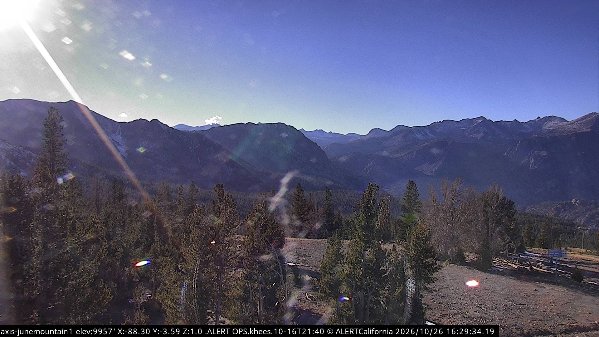
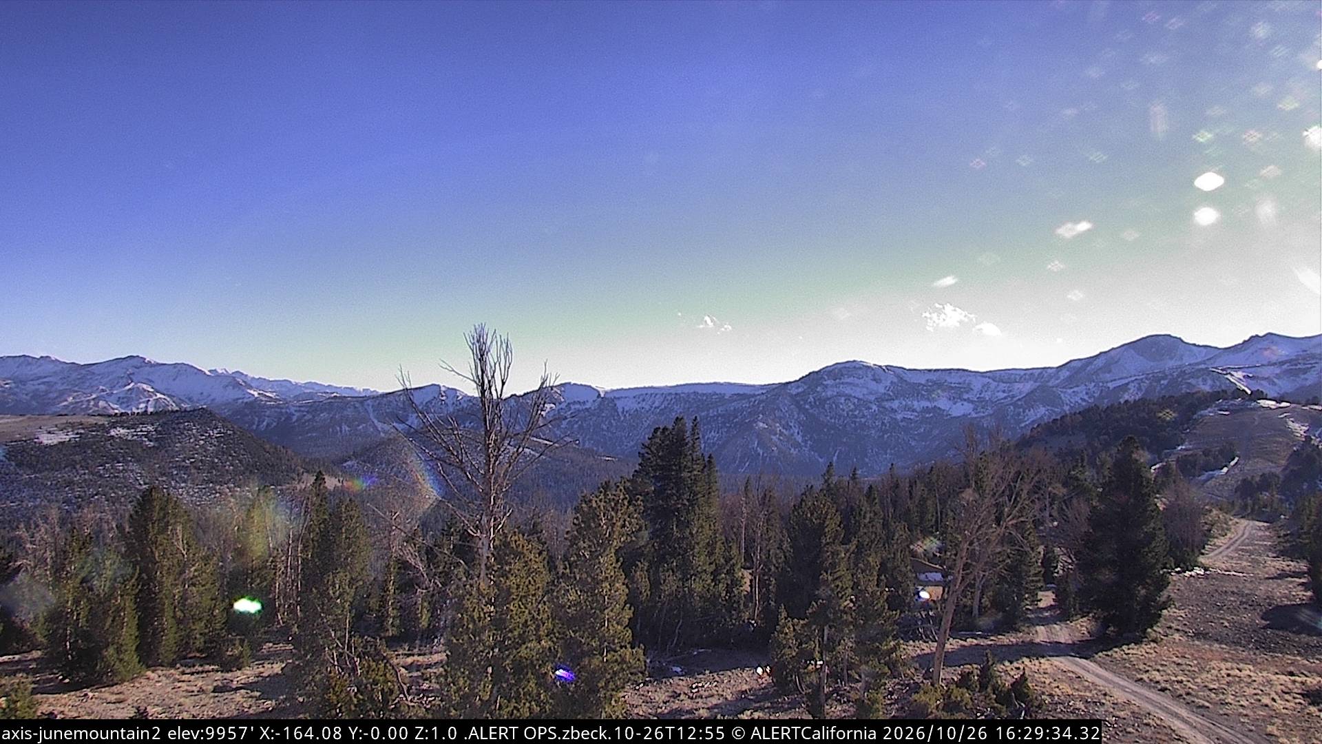
Webcams near Amelia Earhart Peak

Towns near Amelia Earhart Peak
- Mammoth Lakes32 km away