Mountains in United States
Augustine Volcano
4,134 ft1,260 m
Volcano · Aleutian Arc · United States
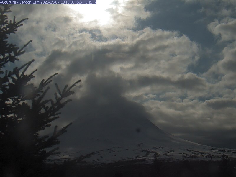
Augustine Volcano is a stratovolcano in Alaska consisting of a central complex of summit lava domes and flows surrounded by an apron of pyroclastic, lahar, avalanche, and ash deposits. The volcano forms Augustine Island, colloquially called Mount St.
From Wikipedia, CC BY-SA · Read the article
At the summit · forecast for 11:00 PM
34 °FCloudy · wind 21 mph from the W
 See it in 3D
Weather at the summit of Augustine Volcano, 4,134 ft
- 11:00 PM34 °FW 21 mph–
- 2:00 AM33 °FW 20 mph–
- 5:00 AM33 °FW 19 mph–
- 8:00 AM33 °FW 17 mph–
- 11:00 AM32 °FW 15 mph–
- 2:00 PM31 °FW 12 mph–
- 5:00 PM28 °FNE 6 mph–
- 8:00 PM29 °FE 6 mph–
| Day | Sky | High / low | Rain | Wind up to |
|---|---|---|---|---|
| Tue, Oct 27 | Partly cloudy | 34 °F / 28 °F | – | 21 mph |
| Wed, Oct 28 | Mostly clear | 32 °F / 29 °F | 0 in | 26 mph |
| Thu, Oct 29 | Light snow | 32 °F / 28 °F | 0.61 in | 30 mph |
| Fri, Oct 30 | Mostly clear | 33 °F / 29 °F | 0.14 in | 19 mph |
| Sat, Oct 31 | Partly cloudy | 31 °F / 30 °F | 0.09 in | 15 mph |
| Sun, Nov 1 | Light snow | 29 °F / 27 °F | 0.2 in | 18 mph |
| Mon, Nov 2 | Snow | 28 °F / 27 °F | 0.14 in | 13 mph |
Forecast by MET Norway (CC BY 4.0), updated 07:17 PM UTC. Times are local.
Facts
- What it is
- Volcano
- Height above sea level
- 4,134 ft (1,260 m)
- Prominence
- 4,134 ft (1,260 m)
- Range
- Aleutian Arc
- Country
- United States
- Coordinates
- 59.363°N 153.433°W
- Volcano number
- 313010 at the Global Volcanism Program
- Source
- Wikidata, CC0
24 recorded eruptions
- Eruption in 2005
- Eruption in 1986
- Eruption in 1976
- Eruption in 1971
- Eruption in 1963
- Eruption in 1935
- Eruption in 1908
- Eruption in 1883
- Eruption in 1883
- Eruption in 1812
- Eruption in 1650
- Eruption in 1540
The latest 12 of 24, from the Smithsonian’s Global Volcanism Program through History.
Peaks near Augustine Volcano
- Mount Douglas7,054 ft · 56 km awayOn the map
Highest mountains in United States
- Denali20,308 ftOn the map
- Mount Saint Elias18,009 ftOn the map
- Mount Foraker17,402 ftOn the map
- Mount Bona16,535 ftOn the map
- Mount Blackburn16,390 ftOn the map
- Mount Sanford16,237 ftOn the map
- Mount Vancouver15,787 ftOn the map
- Mount Churchill15,636 ftOn the map
- Mount Fairweather15,325 ftOn the map
- Mount Hubbard14,951 ftOn the map