Baker Mountain
2,024 ft617 m
Mountain · United States
Baker Mountain is a mountain ridge in southeastern Hampshire County, West Virginia. The mountain runs southwest northeast between Yellow Spring and the Hardy County line. Baker Mountain is flanked to its east by the Cacapon River with West Virginia Route 259 running parallel between the two.
From Wikipedia, CC BY-SA · Read the article
At the summit · forecast for 8:00 AM
44 °FPartly cloudy · wind 4 mph from the S
Weather at the summit of Baker Mountain, 2,024 ft
- 8:00 AM44 °FS 4 mph–
- 11:00 AM60 °FSE 6 mph–
- 2:00 PM64 °FS 8 mph–
- 5:00 PM64 °FS 8 mph–
- 8:00 PM53 °FSE 7 mph–
- 11:00 PM50 °FS 7 mph–
- 2:00 AM50 °FS 8 mph–
- 5:00 AM48 °FS 6 mph–
| Day | Sky | High / low | Rain | Wind up to |
|---|---|---|---|---|
| Today | Partly cloudy | 65 °F / 44 °F | – | 8 mph |
| Thu, Oct 29 | Clear | 71 °F / 46 °F | – | 8 mph |
| Fri, Oct 30 | Clear | 66 °F / 52 °F | – | 11 mph |
| Sat, Oct 31 | Cloudy | 62 °F / 44 °F | – | 5 mph |
| Sun, Nov 1 | Clear | 70 °F / 48 °F | – | 8 mph |
| Mon, Nov 2 | Rain | 55 °F / 52 °F | 0.1 in | 7 mph |
| Tue, Nov 3 | Cloudy | 62 °F / 51 °F | 0.01 in | 12 mph |
Forecast by MET Norway (CC BY 4.0), updated 04:20 AM EDT. Times are local.
Facts
- What it is
- Mountain
- Height above sea level
- 2,024 ft (617 m)
- Country
- United States
- Coordinates
- 39.163°N 78.557°W
- Source
- Wikidata, CC0
Baker Mountain (West Virginia)
Mountain ridge in West Virginia, United States
Baker Mountain is a mountain ridge in southeastern Hampshire County, West Virginia. The mountain runs southwest northeast between Yellow Spring and the Hardy County line. Baker Mountain is flanked to its east by the Cacapon River with West Virginia Route 259 running parallel between the two. Its forests were once used as a major source of timber for the Baltimore and Ohio Railroad's rail ties.
From Wikipedia, CC BY-SA · Read the article
Peaks near Baker Mountain
- North River Mountain2,149 ft · 3.8 km awayOn the map
- Wacousta Hill1,276 ft · 7.3 km awayOn the map
- Cooper Mountain2,028 ft · 11 km awayOn the map
- Great North Mountain3,293 ft · 14 km awayOn the map
- Schaffenaker Mountain1,488 ft · 15 km awayOn the map
- Short Mountain2,872 ft · 18 km awayOn the map
- South Branch Mountain3,028 ft · 21 km awayOn the map
- Nathaniel Mountain2,739 ft · 21 km awayOn the map
- Little Cacapon Mountain1,575 ft · 21 km awayOn the map
- Bear Garden Mountain1,566 ft · 23 km awayOn the map
Highest mountains in United States
- Denali20,308 ftOn the map
- Mount Saint Elias18,009 ftOn the map
- Mount Foraker17,402 ftOn the map
- Mount Bona16,535 ftOn the map
- Mount Blackburn16,390 ftOn the map
- Mount Sanford16,237 ftOn the map
- Mount Vancouver15,787 ftOn the map
- Mount Churchill15,636 ftOn the map
- Mount Fairweather15,325 ftOn the map
- Mount Hubbard14,951 ftOn the map
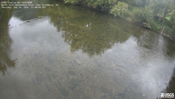
Webcams near Baker Mountain
Towns near Baker Mountain
- Strasburg25 km away
- Toms Brook26 km away
- Middletown28 km away
- Woodstock32 km away
- Winchester34 km away
- Edinburg38 km away