Mountains in France
See it in 3Dbaou Béni
Mountain · France
Le baou Béni ou bau Béni est un baou situé dans les gorges du Verdon à la sortie du chaos de l'Imbut. C'est au baou Béni que le sentier de l'Imbut se termine, le Verdon passant entre deux falaises très rapprochées. Portail de la géologie Portail des Alpes Portail des Alpes-de-Haute-Provence
From French Wikipedia, CC BY-SA · Read the article
At the summit · forecast for 6:00 AM
7 °CFog · wind 7 km/h from the NE
baou Béni weather forecast
- 6:00 AM7 °CNE 7 km/h–
- 9:00 AM12 °CE 5 km/h–
- 12:00 PM18 °CSW 7 km/h–
- 3:00 PM17 °CW 10 km/h–
- 6:00 PM12 °CNW 7 km/h–
- 9:00 PM10 °CN 6 km/h–
- 12:00 AM9 °CNE 5 km/h–
- 3:00 AM9 °CNE 6 km/h–
| Day | Sky | High / low | Rain | Wind up to |
|---|---|---|---|---|
| Today | Mostly clear | 18 °C / 7 °C | – | 10 km/h |
| Wed, Oct 28 | Clear | 17 °C / 9 °C | – | 8 km/h |
| Thu, Oct 29 | Mostly clear | 18 °C / 8 °C | – | 12 km/h |
| Fri, Oct 30 | Light rain | 15 °C / 7 °C | 1 mm | 8 km/h |
| Sat, Oct 31 | Partly cloudy | 16 °C / 6 °C | – | 5 km/h |
| Sun, Nov 1 | Clear | 15 °C / 6 °C | – | 5 km/h |
| Mon, Nov 2 | Clear | 15 °C / 6 °C | – | 9 km/h |
Forecast by MET Norway (CC BY 4.0), updated 02:17 AM GMT+1. Times are local.
Facts
- What it is
- Mountain
- Country
- France
- Coordinates
- 43.757°N 6.317°E
- Source
- Wikidata, CC0
Peaks near baou Béni
- Bessillon813 m · 31 km awayOn the map
- Mont Vinaigre614 m · 49 km awayOn the map
- Montagne de la Baume1,147 m · 56 km awayOn the map
- Les Monges2,115 m · 57 km awayOn the map
- Grand Margès1,576 m · 3.1 km awayOn the map
- Mourre de Chanier1,930 m · 9.8 km awayOn the map
- Mont Chiran1,905 m · 12 km awayOn the map
- Cuguyons982 m · 13 km awayOn the map
- Cadières de Brandis1,626 m · 14 km awayOn the map
- Peygros778 m · 15 km awayOn the map
Highest mountains in France
- Mont Blanc4,806 mOn the map
- Pointe Walker4,208 mOn the map
- Grandes Jorasses4,208 mOn the map
- Aiguille Verte4,122 mOn the map
- Barre des Écrins4,102 mOn the map
- Meije3,983 mOn the map
- Ailefroide3,954 mOn the map
- Mont Pelvoux3,946 mOn the map
- Pic Sans Nom3,913 mOn the map
- Aiguille de Tré la Tête3,911 mOn the map
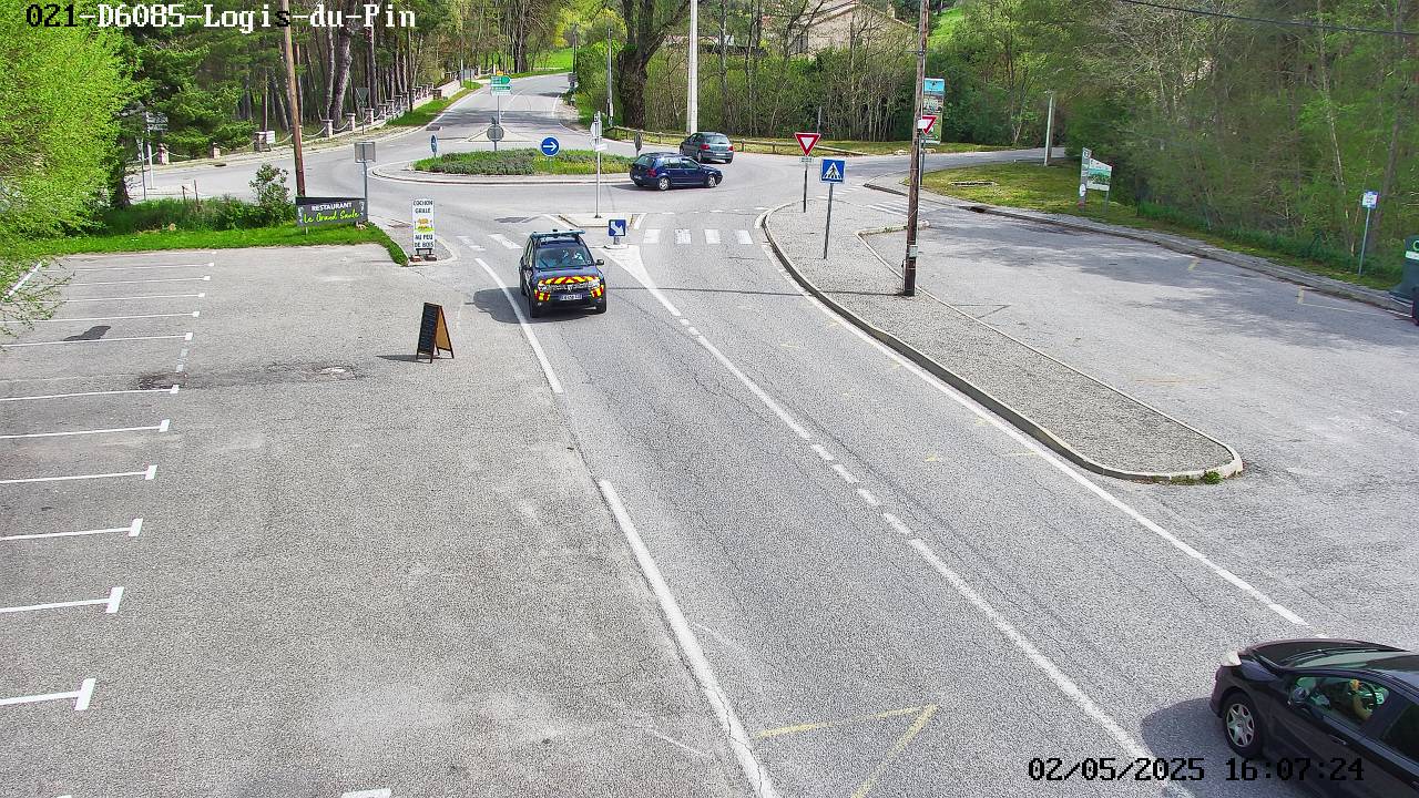
Webcams near baou Béni
History around baou Béni
Towns near baou Béni
- Draguignan27 km away
- Digne-les-Bains38 km away
- Manosque43 km away
- Brignoles44 km away
- Fréjus49 km away
- Grasse50 km away