Mountains
Bemelerberg
Hill
Le Bemelerberg est une côte, une colline, une réserve naturelle et un monument géologique du Heuvelland près du hameau de Bemelen dans le sud de la province de Limbourg aux Pays-Bas.
From French Wikipedia, CC BY-SA · Read the article
At the summit · forecast for 8:00 AM
14 °CCloudy · wind 22 km/h from the SW
 See it in 3D
Bemelerberg weather forecast
- 8:00 AM14 °CSW 22 km/h–
- 11:00 AM15 °CSW 24 km/h–
- 2:00 PM18 °CS 18 km/h–
- 5:00 PM16 °CSW 15 km/h1.3 mm
- 8:00 PM13 °CW 15 km/h0.7 mm
- 11:00 PM12 °CW 15 km/h–
- 2:00 AM9 °CSW 12 km/h–
- 5:00 AM8 °CSW 11 km/h–
| Day | Sky | High / low | Rain | Wind up to |
|---|---|---|---|---|
| Today | Partly cloudy | 18 °C / 12 °C | 2 mm | 26 km/h |
| Wed, Oct 28 | Clear | 13 °C / 7 °C | – | 14 km/h |
| Thu, Oct 29 | Partly cloudy | 14 °C / 6 °C | – | 9 km/h |
| Fri, Oct 30 | Clear | 14 °C / 5 °C | – | 11 km/h |
| Sat, Oct 31 | Partly cloudy | 14 °C / 5 °C | – | 8 km/h |
| Sun, Nov 1 | Partly cloudy | 12 °C / 4 °C | 0.8 mm | 7 km/h |
| Mon, Nov 2 | Cloudy | 11 °C / 7 °C | 0.1 mm | 12 km/h |
Forecast by MET Norway (CC BY 4.0), updated 06:20 AM GMT+1. Times are local.
Facts
- What it is
- Hill
- Coordinates
- 50.850°N 5.767°E
- Source
- Wikidata, CC0
Peaks near Bemelerberg
- Cauberg137 m · 4.1 km awayOn the map
- Mount Saint Peter171 m · 7 km awayOn the map
- Vrouwenheide218 m · 13 km awayOn the map
- Vaalserberg322 m · 21 km awayOn the map
- Lousberg264 m · 23 km awayOn the map
- Steling658 m · 44 km awayOn the map
- Ardennes massif652 m · 45 km awayOn the map
- Signal de Botrange694 m · 45 km awayOn the map
- Sophienhöhe302 m · 49 km awayOn the map
- Hill 400401 m · 51 km awayOn the map
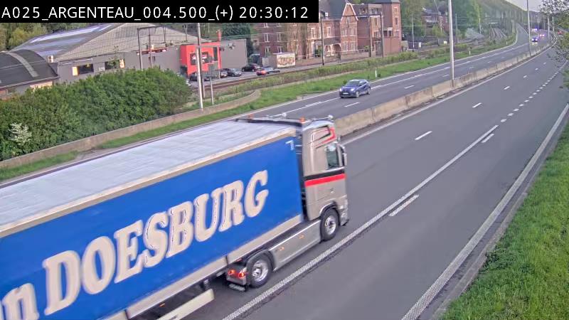
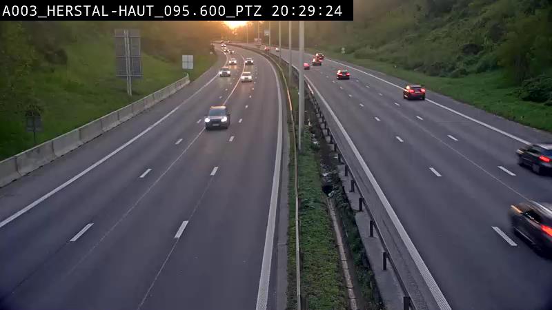
Webcams near Bemelerberg


History around Bemelerberg
Towns near Bemelerberg
- Maastricht5.5 km away
- Lanaken9.7 km away
- Riemst12 km away
- Visé13 km away
- Maasmechelen14 km away
- Hoensbroek14 km away