Facts
- What it is
- Mountain
- Country
- Norway
- Coordinates
- 68.747°N 15.899°E
- Source
- Wikidata, CC0
Peaks near Bjørnråfjellet
- Nupen412 m · 18 km awayOn the map
- Kvasstinden705 m · 26 km awayOn the map
- Gangsås52 m · 27 km awayOn the map
- Snøkolla763 m · 30 km awayOn the map
- Møysalen1,264 m · 30 km awayOn the map
- Malnesberget529 m · 54 km awayOn the map
- Skardtindan890 m · 6.8 km awayOn the map
- StorhornetMountain · 15 km awayOn the map
- mountain-29515109Mountain · 18 km awayOn the map
- JakobstindenMountain · 18 km awayOn the map
Highest mountains in Norway
- Galdhøpiggen2,469 mOn the map
- Glittertind2,464 mOn the map
- Store Skagastølstind2,406 mOn the map
- Surtningssue2,368 mOn the map
- Store Memurutinden2,365 mOn the map
- Store Hellstugutinden2,346 mOn the map
- Store Knutsholstinden2,339 mOn the map
- Tjørnholstind2,323 mOn the map
- Bukkehøe2,314 mOn the map
- Dovrefjell2,286 mOn the map
Webcams near Bjørnråfjellet
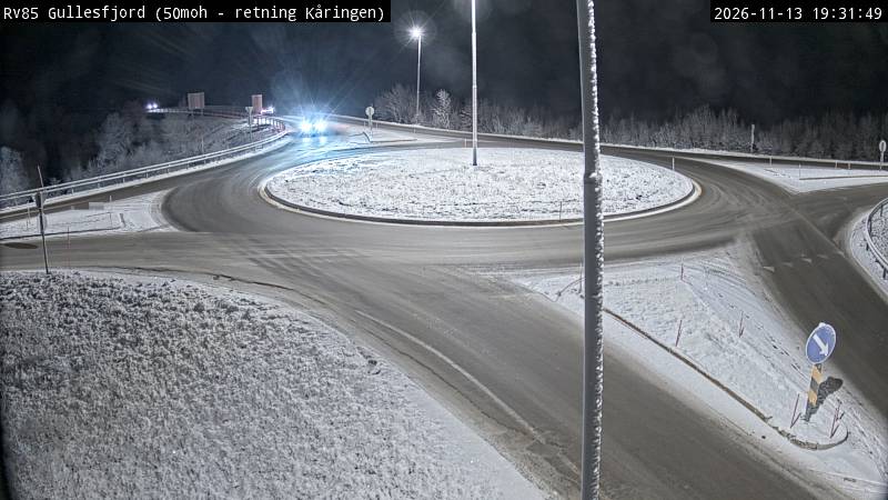
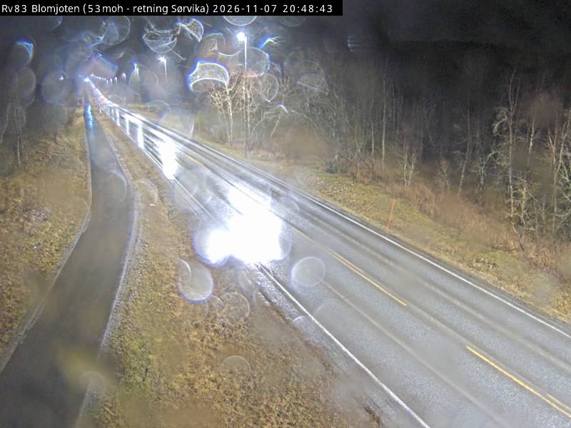
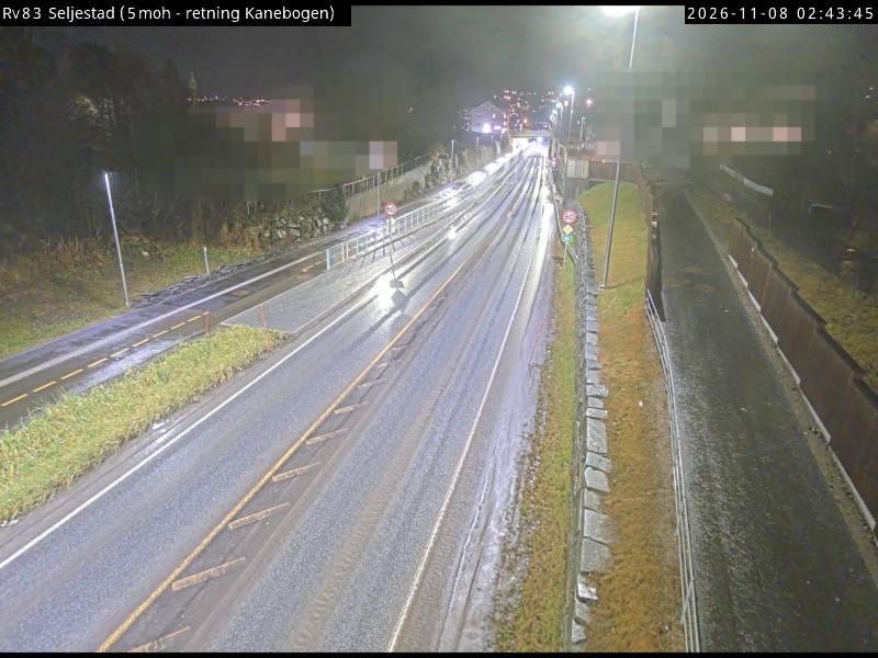
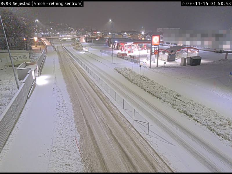
Towns near Bjørnråfjellet
- Harstad27 km away