Mountains in Austria
Blindis Spitze
2,999 m9,839 ft
Mountain · Lasörling Group · Austria
Der Blindis, auch Blindisspitze genannt, ist ein 3000 m ü. A. hoher Berggipfel in der Lasörlinggruppe (Venedigergruppe) im Nordwesten Osttirols. Die Erstbesteigung des Blindis gelang am 5. Juli 1894 J. Erlsbacher mit V. Ladstädter und B. Troger.
From German Wikipedia, CC BY-SA · Read the article
At the summit · forecast for 7:00 AM
-2 °CCloudy · wind 4 km/h from the NW
 See it in 3D
Weather at the summit of Blindis Spitze, 2,999 m
- 7:00 AM-2 °CNW 4 km/h–
- 10:00 AM-0 °CN 4 km/h–
- 1:00 PM0 °CN 4 km/h–
- 4:00 PM-1 °CN 4 km/h–
- 7:00 PM-4 °CNW 5 km/h–
- 10:00 PM-3 °CNW 5 km/h–
- 1:00 AM-4 °CNW 5 km/h–
- 4:00 AM-6 °CN 6 km/h–
| Day | Sky | High / low | Rain | Wind up to |
|---|---|---|---|---|
| Today | Clear | 0 °C / -4 °C | – | 5 km/h |
| Wed, Oct 28 | Snow | -2 °C / -6 °C | 3.2 mm | 8 km/h |
| Thu, Oct 29 | Clear | -4 °C / -11 °C | – | 7 km/h |
| Fri, Oct 30 | Clear | -2 °C / -10 °C | – | 2 km/h |
| Sat, Oct 31 | Clear | 0 °C / -8 °C | – | 2 km/h |
| Sun, Nov 1 | Clear | 1 °C / -7 °C | – | 4 km/h |
| Mon, Nov 2 | Clear | -3 °C / -11 °C | – | 8 km/h |
Forecast by MET Norway (CC BY 4.0), updated 02:17 AM GMT+1. Times are local.
Facts
- What it is
- Mountain
- Height above sea level
- 2,999 m (9,839 ft)
- Range
- Lasörling Group
- Country
- Austria
- Coordinates
- 46.969°N 12.331°E
- Source
- Wikidata, CC0
Peaks near Blindis Spitze
- Rötspitze3,496 m · 12 km awayOn the map
- Dreiherrnspitze3,499 m · 13 km awayOn the map
- Rainerhorn3,559 m · 15 km awayOn the map
- Großvenediger3,657 m · 16 km awayOn the map
- Hochgall3,436 m · 16 km awayOn the map
- Schneebiger Nock3,358 m · 20 km awayOn the map
- Großer Muntanitz3,232 m · 23 km awayOn the map
- Glocknerwand3,721 m · 30 km awayOn the map
- Grossglockner3,798 m · 30 km awayOn the map
- Großer Löffler3,379 m · 32 km awayOn the map
Highest in the Lasörling Group
- Blindis Spitze2,999 mOn the map
- Kastal2,776 mOn the map
- Großer Zunig2,775 mOn the map
- Kreuzberg2,743 mOn the map
- Berger Kogel2,656 mOn the map
Highest mountains in Austria
- Grossglockner3,798 mOn the map
- Wildspitze3,768 mOn the map
- Weißkugel3,738 mOn the map
- Großvenediger3,657 mOn the map
- Hintere Schwärze3,624 mOn the map
- Großes Wiesbachhorn3,564 mOn the map
- Ramolkogel3,549 mOn the map
- Schalfkogel3,537 mOn the map
- Watzespitze3,532 mOn the map
- Fineilspitze3,514 mOn the map
Webcams near Blindis Spitze
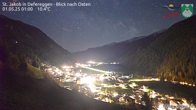


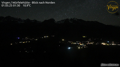
Towns near Blindis Spitze
- Bressanone59 km away
- Saalfelden am Steinernen Meer64 km away
- Innsbruck78 km away