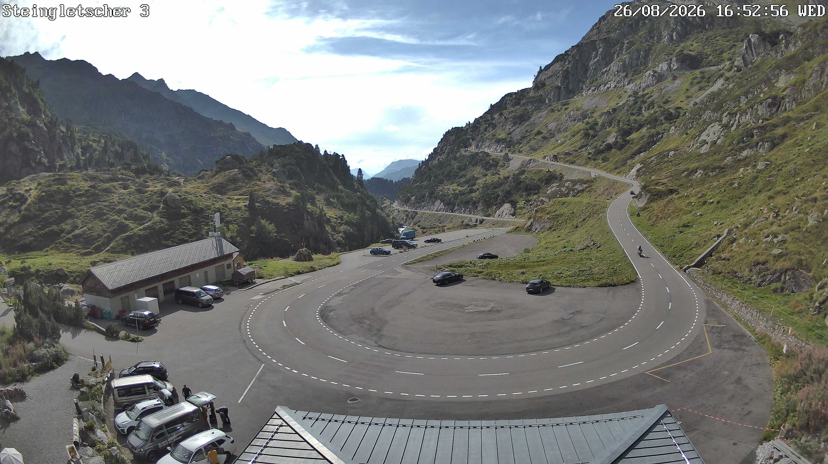
Mountains in Switzerland
Bonistock
2,168 m7,113 ft
Mountain · Unterwaldner Voralpen · Switzerland
At the summit · forecast for 12:00 AM
5 °CCloudy · wind 2 km/h from the SE
 See it in 3D
Weather at the summit of Bonistock, 2,168 m
- 12:00 AM5 °CSE 2 km/h–
- 3:00 AM3 °CSE 2 km/h–
- 6:00 AM2 °CSE 3 km/h–
- 9:00 AM9 °CSE 5 km/h–
- 12:00 PM12 °CNW 4 km/h–
- 3:00 PM12 °CNW 4 km/h–
- 6:00 PM6 °CE 1 km/h–
- 9:00 PM4 °CSE 3 km/h–
| Day | Sky | High / low | Rain | Wind up to |
|---|---|---|---|---|
| Today | Mostly clear | 13 °C / 1 °C | – | 5 km/h |
| Wed, Oct 28 | Fog | 3 °C / 0 °C | – | 6 km/h |
| Thu, Oct 29 | Clear | 6 °C / -2 °C | – | 6 km/h |
| Fri, Oct 30 | Mostly clear | 8 °C / -1 °C | – | 4 km/h |
| Sat, Oct 31 | Mostly clear | 8 °C / 0 °C | – | 3 km/h |
| Sun, Nov 1 | Clear | 7 °C / -0 °C | – | 4 km/h |
| Mon, Nov 2 | Mostly clear | 4 °C / -1 °C | – | 4 km/h |
Forecast by MET Norway (CC BY 4.0), updated 08:16 PM GMT+1. Times are local.
Facts
- What it is
- Mountain
- Height above sea level
- 2,168 m (7,113 ft)
- Range
- Unterwaldner Voralpen
- Country
- Switzerland
- Coordinates
- 46.777°N 8.283°E
- Source
- Wikidata, CC0
Peaks near Bonistock
- Titlis3,238 m · 12 km awayOn the map
- Stanserhorn1,898 m · 18 km awayOn the map
- Brienzer Rothorn2,349 m · 18 km awayOn the map
- Dammastock3,630 m · 18 km awayOn the map
- Wetterhorn3,690 m · 20 km awayOn the map
- Galenstock3,586 m · 21 km awayOn the map
- Mount Pilatus2,128 m · 22 km awayOn the map
- Schreckhorn4,078 m · 24 km awayOn the map
- Faulhorn2,681 m · 24 km awayOn the map
- Lauteraarhorn4,042 m · 25 km awayOn the map
Highest mountains in Switzerland
- Dufourspitze4,634 mOn the map
- Dom4,546 mOn the map
- Lyskamm4,532 mOn the map
- Weisshorn4,505 mOn the map
- Matterhorn4,478 mOn the map
- Dent Blanche4,357 mOn the map
- Grand Combin4,309 mOn the map
- Finsteraarhorn4,274 mOn the map
- Zinalrothorn4,221 mOn the map
- Alphubel4,206 mOn the map