Brandberger Kolm
2,700 m8,858 ft
Mountain · Reichenspitze Group · Austria
Der Brandberger Kolm ist ein 2700 m ü. A. hoher Berg im westlichen Teil der Gerlosgruppe, einer Untergruppe der Zillertaler Alpen im österreichischen Bundesland Tirol. Der Kolm hat von Westen aus gesehen die Form eines Felskegels, der den Zillergrund bei Brandberg dominiert.
From German Wikipedia, CC BY-SA · Read the article
At the summit · forecast for 6:00 PM
-3 °CSnow · wind 5 km/h from the NE
 See it in 3D
Weather at the summit of Brandberger Kolm, 2,700 m
- 6:00 PM-3 °CNE 5 km/h1.6 mm
- 9:00 PM-4 °CNW 5 km/h1.2 mm
- 12:00 AM-4 °CN 5 km/h0.3 mm
- 3:00 AM-4 °CN 6 km/h–
- 6:00 AM-6 °CE 4 km/h–
- 9:00 AM-5 °CSE 4 km/h–
- 12:00 PM-1 °CN 6 km/h–
- 3:00 PM-1 °CN 7 km/h–
| Day | Sky | High / low | Rain | Wind up to |
|---|---|---|---|---|
| Thu, Oct 29 | Partly cloudy | -1 °C / -10 °C | 0.3 mm | 7 km/h |
| Fri, Oct 30 | Clear | -0 °C / -10 °C | – | 8 km/h |
| Sat, Oct 31 | Clear | -1 °C / -10 °C | – | 8 km/h |
| Sun, Nov 1 | Snow | -8 °C / -10 °C | 4.5 mm | 5 km/h |
| Mon, Nov 2 | Partly cloudy | -5 °C / -11 °C | 0.3 mm | 5 km/h |
| Tue, Nov 3 | Light snow | -7 °C / -9 °C | 1.6 mm | 5 km/h |
| Wed, Nov 4 | Clear | 0 °C / -11 °C | 0.2 mm | 3 km/h |
Forecast by MET Norway (CC BY 4.0), updated 12:19 PM GMT+1. Times are local.
Facts
- What it is
- Mountain
- Height above sea level
- 2,700 m (8,858 ft)
- Isolation
- 2.9 km to higher ground
- Range
- Reichenspitze Group
- Country
- Austria
- Coordinates
- 47.172°N 11.962°E
- Source
- Wikidata, CC0
Brandberger Kolm
Berg in Tirol
Der Brandberger Kolm ist ein 2700 m ü. A. hoher Berg im westlichen Teil der Gerlosgruppe, einer Untergruppe der Zillertaler Alpen im österreichischen Bundesland Tirol. Der Kolm hat von Westen aus gesehen die Form eines Felskegels, der den Zillergrund bei Brandberg dominiert. Durch seine leichte Erreichbarkeit ist er ein vom Kolmhaus, auf 1845 Meter Höhe gelegen, aus oft begangener Aussichtsberg.
From German Wikipedia, CC BY-SA · Read the article
Peaks near Brandberger Kolm
- Kreuzjoch2,558 m · 8.9 km awayOn the map
- Großer Löffler3,379 m · 16 km awayOn the map
- Rastkogel2,762 m · 16 km awayOn the map
- Schwarzenstein3,369 m · 19 km awayOn the map
- Kellerjoch2,344 m · 22 km awayOn the map
- Hoher Riffler3,231 m · 22 km awayOn the map
- Turnerkamp3,418 m · 23 km awayOn the map
- Dreiherrnspitze3,499 m · 24 km awayOn the map
- Großer Möseler3,480 m · 24 km awayOn the map
- Rötspitze3,496 m · 24 km awayOn the map
Peaks below Brandberger Kolm
- Kreuzjoch2,558 mOn the map
Highest in the Reichenspitze Group
- Reichenspitze3,303 mOn the map
- Wildkarspitze3,073 mOn the map
- Brandberger Kolm2,700 mOn the map
Highest mountains in Austria
- Grossglockner3,798 mOn the map
- Wildspitze3,768 mOn the map
- Weißkugel3,738 mOn the map
- Großvenediger3,657 mOn the map
- Hintere Schwärze3,624 mOn the map
- Großes Wiesbachhorn3,564 mOn the map
- Ramolkogel3,549 mOn the map
- Schalfkogel3,537 mOn the map
- Watzespitze3,532 mOn the map
- Fineilspitze3,514 mOn the map
Webcams near Brandberger Kolm


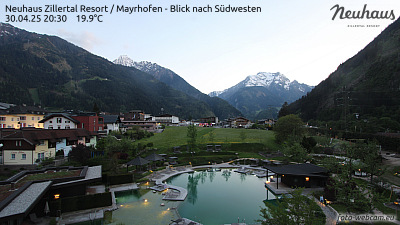
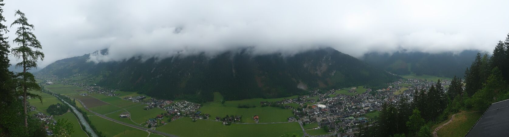
Towns near Brandberger Kolm
- Innsbruck44 km away
- Bressanone56 km away
- Telfs69 km away
- Bad Tölz72 km away
- Saalfelden am Steinernen Meer73 km away
- Garmisch-Partenkirchen74 km away