Mountains in Switzerland
See it in 3DBrandlammhorn
3,108 m10,197 ft
Mountain · Schreckhorn-Wetterhorn Group · Switzerland
The Brandlammhorn is a mountain of the Bernese Alps, overlooking the Unteraar Glacier and Lake Grimsel in the canton of Bern. It lies on the range east of the Bächlistock, which separates the Bächlital from the Unteraar valley.
From Wikipedia, CC BY-SA · Read the article
At the summit · forecast for 7:00 AM
-5 °CClear · wind 2 km/h from the SW
Weather at the summit of Brandlammhorn, 3,108 m
- 7:00 AM-5 °CSW 2 km/h–
- 10:00 AM2 °CW 3 km/h–
- 1:00 PM3 °CNW 5 km/h–
- 4:00 PM1 °CW 4 km/h–
- 7:00 PM-3 °CW 5 km/h–
- 10:00 PM-7 °CW 5 km/h–
- 1:00 AM-9 °CW 7 km/h0.1 mm
- 4:00 AM-6 °CNW 6 km/h0.4 mm
| Day | Sky | High / low | Rain | Wind up to |
|---|---|---|---|---|
| Today | Mostly clear | 3 °C / -9 °C | – | 8 km/h |
| Wed, Oct 28 | Partly cloudy | -2 °C / -10 °C | 0.5 mm | 8 km/h |
| Thu, Oct 29 | Clear | 0 °C / -11 °C | – | 5 km/h |
| Fri, Oct 30 | Clear | -1 °C / -8 °C | – | 4 km/h |
| Sat, Oct 31 | Clear | 0 °C / -12 °C | – | 4 km/h |
| Sun, Nov 1 | Clear | 0 °C / -9 °C | – | 3 km/h |
| Mon, Nov 2 | Clear | 2 °C / -8 °C | – | 4 km/h |
Forecast by MET Norway (CC BY 4.0), updated 02:17 AM GMT+1. Times are local.
Facts
- What it is
- Mountain
- Height above sea level
- 3,108 m (10,197 ft)
- Prominence
- 111 m (364 ft)
- Range
- Schreckhorn-Wetterhorn Group
- Parent peak
- Finsteraarhorn
- Country
- Switzerland
- Coordinates
- 46.582°N 8.258°E
- Source
- Wikidata, CC0
Peaks near Brandlammhorn
- Oberaarhorn3,631 m · 8.5 km awayOn the map
- Lauteraarhorn4,042 m · 9.9 km awayOn the map
- Schreckhorn4,078 m · 11 km awayOn the map
- Finsteraarhorn4,274 m · 11 km awayOn the map
- Agassizhorn3,947 m · 12 km awayOn the map
- Wetterhorn3,690 m · 13 km awayOn the map
- Galenstock3,586 m · 13 km awayOn the map
- Dammastock3,630 m · 14 km awayOn the map
- Gross Grünhorn4,043 m · 15 km awayOn the map
- Hinter Fiescherhorn4,025 m · 15 km awayOn the map
Parent peak
The nearest higher peak its prominence is measured to.
- Finsteraarhorn4,274 mOn the map
Highest in the Schreckhorn-Wetterhorn Group
- Schreckhorn4,078 mOn the map
- Mittelhorn3,702 mOn the map
- Ritzlihorn3,277 mOn the map
- Brandlammhorn3,108 mOn the map
Highest mountains in Switzerland
- Dufourspitze4,634 mOn the map
- Dom4,546 mOn the map
- Lyskamm4,532 mOn the map
- Weisshorn4,505 mOn the map
- Matterhorn4,478 mOn the map
- Dent Blanche4,357 mOn the map
- Grand Combin4,309 mOn the map
- Finsteraarhorn4,274 mOn the map
- Zinalrothorn4,221 mOn the map
- Alphubel4,206 mOn the map
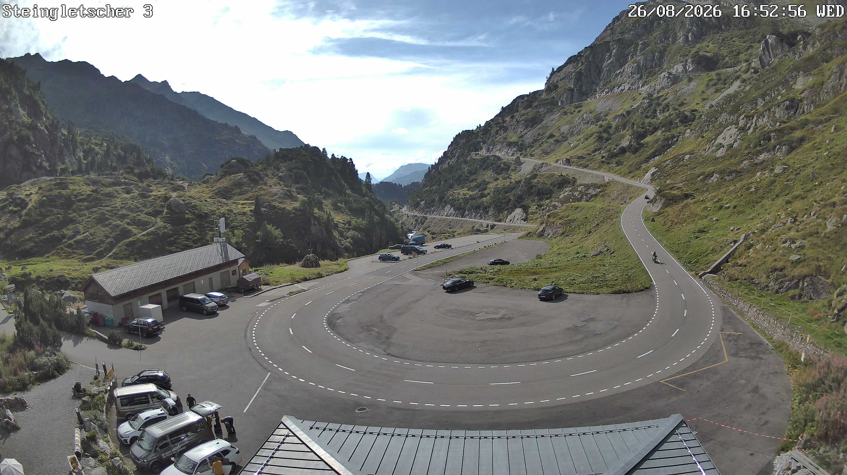
Webcams near Brandlammhorn


History around Brandlammhorn
Towns near Brandlammhorn
- Kriens50 km away
- Domodossola52 km away
- Thun52 km away
- Littau52 km away
- Luzern52 km away
- Steffisburg52 km away