 See it in 3D
Facts
- What it is
- Mountain
- Height above sea level
- 1,540 m (5,053 ft)
- Prominence
- 606 m (1,989 ft)
- Isolation
- 19 km to higher ground
- Country
- Norway
- Coordinates
- 59.728°N 8.400°E
- Source
- Wikidata, CC0
Peaks near Brattefjell
- Gaustatoppen1,882 m · 20 km awayOn the map
- Bletoppen1,343 m · 43 km awayOn the map
- Storegrønut1,296 m · 51 km awayOn the map
- Skirveggen1,381 m · 51 km awayOn the map
- Brandsnutene1,496 m · 52 km awayOn the map
- Sæbyggjenuten1,507 m · 53 km awayOn the map
- Svolhusgreini1,420 m · 53 km awayOn the map
- Gråsteinsnosi1,468 m · 54 km awayOn the map
- Støylsdalsnutene1,438 m · 59 km awayOn the map
- mountain-11233397Mountain · 6 km awayOn the map
Highest mountains in Norway
- Galdhøpiggen2,469 mOn the map
- Glittertind2,464 mOn the map
- Store Skagastølstind2,406 mOn the map
- Surtningssue2,368 mOn the map
- Store Memurutinden2,365 mOn the map
- Store Hellstugutinden2,346 mOn the map
- Store Knutsholstinden2,339 mOn the map
- Tjørnholstind2,323 mOn the map
- Bukkehøe2,314 mOn the map
- Dovrefjell2,286 mOn the map
Webcams near Brattefjell
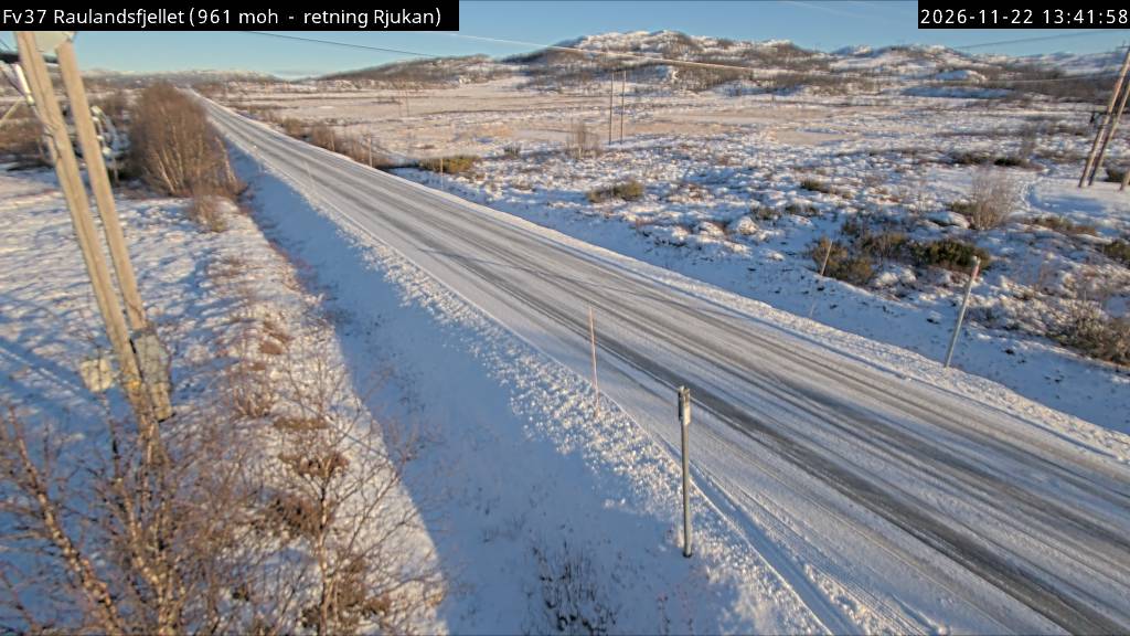
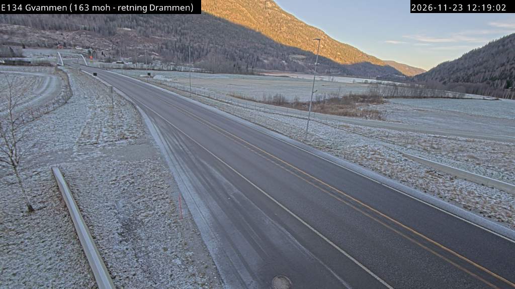

History around Brattefjell
Towns near Brattefjell
- Kongsberg70 km away