 See it in 3D
Facts
- What it is
- Mountain
- Height above sea level
- 346 m (1,135 ft)
- Prominence
- 185 m (607 ft)
- Range
- Hundsheimer Berge
- Country
- Austria
- Coordinates
- 48.153°N 16.957°E
- Source
- Wikidata, CC0
Peaks near Braunsberg
- Hundsheimer Berg480 m · 2.7 km awayOn the map
- Pfaffenberg331 m · 3.6 km awayOn the map
- Devínska Kobyla514 m · 5 km awayOn the map
- Spitzerberg302 m · 6 km awayOn the map
- Hindlerberg344 m · 6.4 km awayOn the map
- Kamzík439 m · 11 km awayOn the map
- Vysoká754 m · 35 km awayOn the map
- Laaer Berg251 m · 42 km awayOn the map
- Buchkogel442 m · 44 km awayOn the map
- Wienerberg325 m · 45 km awayOn the map
Highest in the Hundsheimer Berge
- Hundsheimer Berg480 mOn the map
- Braunsberg346 mOn the map
Highest mountains in Austria
- Grossglockner3,798 mOn the map
- Wildspitze3,768 mOn the map
- Weißkugel3,738 mOn the map
- Großvenediger3,657 mOn the map
- Hintere Schwärze3,624 mOn the map
- Großes Wiesbachhorn3,564 mOn the map
- Ramolkogel3,549 mOn the map
- Schalfkogel3,537 mOn the map
- Watzespitze3,532 mOn the map
- Fineilspitze3,514 mOn the map
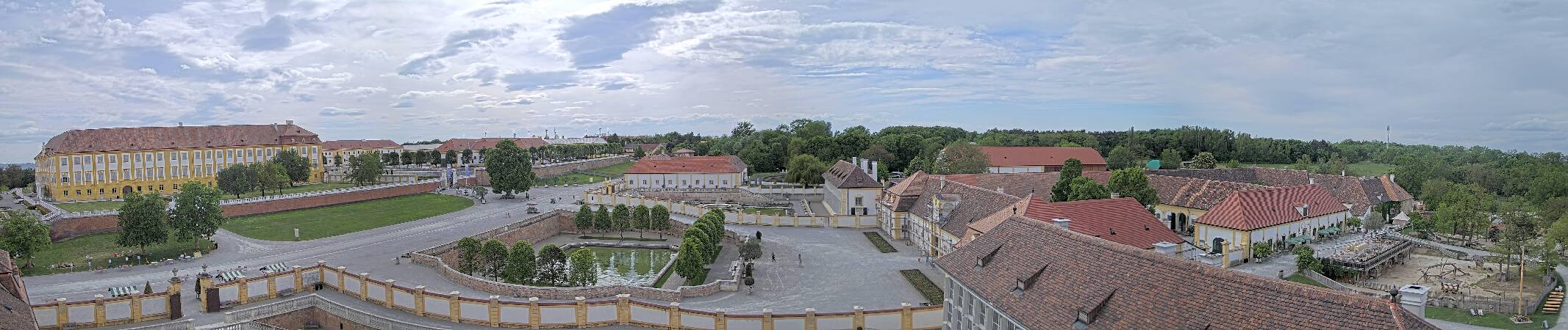
Webcams near Braunsberg


History around Braunsberg
Towns near Braunsberg
- Devínska Nová Ves6.2 km away
- Dúbravka7 km away
- Karlova Ves7.2 km away
- Bratislava11 km away
- Petržalka13 km away
- Vrakuňa19 km away