Mountains in Italy
See it in 3DBric del Terma
760 m2,493 ft
Mountain · Italy
Bric del Terma is a mountain in Liguria, northern Italy, and is part of the Ligurian Apennines. It is located in the provinces of Genoa and Alessandria, and lies at an altitude of 760 metres (2,490 ft).
From Wikipedia, CC BY-SA · Read the article
At the summit · forecast for 9:00 PM
7 °CClear · wind 19 km/h from the N
Weather at the summit of Bric del Terma, 760 m
- 9:00 PM7 °CN 19 km/h–
- 12:00 AM6 °CN 21 km/h–
- 3:00 AM6 °CN 25 km/h–
- 6:00 AM6 °CN 28 km/h–
- 9:00 AM8 °CN 22 km/h–
- 12:00 PM12 °CN 15 km/h–
- 3:00 PM13 °CN 8 km/h–
- 6:00 PM8 °CN 12 km/h–
| Day | Sky | High / low | Rain | Wind up to |
|---|---|---|---|---|
| Wed, Oct 28 | Clear | 13 °C / 6 °C | – | 28 km/h |
| Thu, Oct 29 | Clear | 15 °C / 6 °C | – | 21 km/h |
| Fri, Oct 30 | Mostly clear | 12 °C / 7 °C | – | 23 km/h |
| Sat, Oct 31 | Mostly clear | 11 °C / 5 °C | – | 15 km/h |
| Sun, Nov 1 | Clear | 13 °C / 4 °C | – | 11 km/h |
| Mon, Nov 2 | Clear | 11 °C / 4 °C | – | 8 km/h |
| Tue, Nov 3 | Mostly clear | 11 °C / 2 °C | – | 10 km/h |
Forecast by MET Norway (CC BY 4.0), updated 08:17 PM GMT+1. Times are local.
Facts
- What it is
- Mountain
- Height above sea level
- 760 m (2,493 ft)
- Country
- Italy
- Coordinates
- 44.505°N 8.769°E
- Source
- Wikidata, CC0
Peaks near Bric del Terma
- Piani di Praglia840 m · 3.2 km awayOn the map
- Punta Martin1,001 m · 3.4 km awayOn the map
- Monte Penello995 m · 3.7 km awayOn the map
- Monte Figogna804 m · 7.6 km awayOn the map
- Bric del Dente1,107 m · 7.8 km awayOn the map
- Monte delle Figne1,172 m · 8.4 km awayOn the map
- Monte Taccone1,113 m · 8.8 km awayOn the map
- Monte Tobbio1,092 m · 9.7 km awayOn the map
- Monte Colma856 m · 10 km awayOn the map
- Monte Reixa1,183 m · 10 km awayOn the map
Highest mountains in Italy
- Mont Blanc4,806 mOn the map
- Lyskamm4,532 mOn the map
- Matterhorn4,478 mOn the map
- Pointe Walker4,208 mOn the map
- Grandes Jorasses4,208 mOn the map
- Dent d'Hérens4,173 mOn the map
- Breithorn4,160 mOn the map
- Bric del Terma760 mOn the map
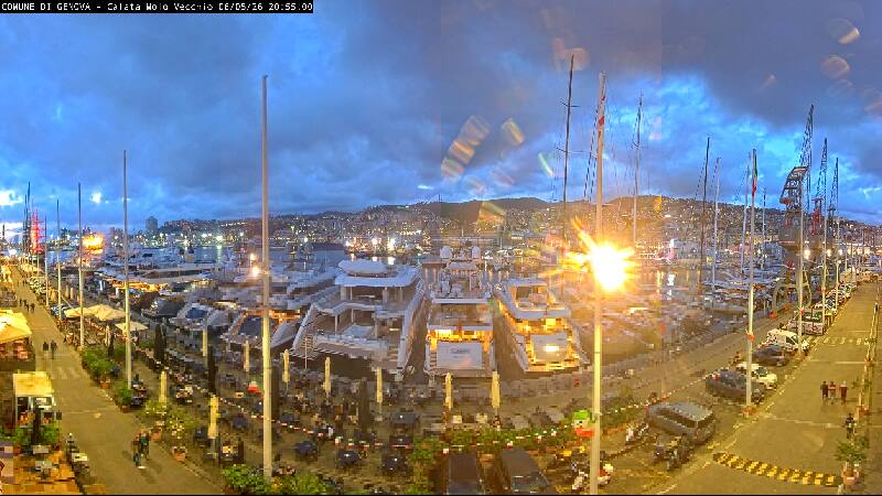
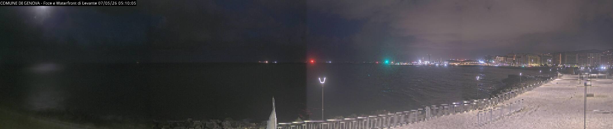
Webcams near Bric del Terma
History around Bric del Terma
Towns near Bric del Terma
- Genoa18 km away
- Novi Ligure29 km away
- Acqui Terme30 km away
- Savona32 km away
- Rapallo40 km away
- Tortona44 km away