 See it in 3D
Facts
- What it is
- Mountain
- Height above sea level
- 6,803 ft (2,074 m)
- Country
- United States
- Coordinates
- 37.206°N 112.966°W
- Source
- Wikidata, CC0
Peaks near Bridge Mountain
- Mount Spry5,758 ft · 1.7 km awayOn the map
- Twin Brothers6,860 ft · 2.7 km awayOn the map
- Bee Hive6,886 ft · 2.8 km awayOn the map
- The Sentinel7,136 ft · 3.1 km awayOn the map
- Mountain of the Sun6,716 ft · 3.4 km awayOn the map
- Three Patriarchs7,014 ft · 3.5 km awayOn the map
- Johnson Mountain6,092 ft · 3.9 km awayOn the map
- Deertrap Mountain6,837 ft · 4.1 km awayOn the map
- Meridian Tower7,336 ft · 4.2 km awayOn the map
- Mount Moroni5,650 ft · 4.2 km awayOn the map
Highest mountains in United States
- Denali20,308 ftOn the map
- Mount Saint Elias18,009 ftOn the map
- Mount Foraker17,402 ftOn the map
- Mount Bona16,535 ftOn the map
- Mount Blackburn16,390 ftOn the map
- Mount Sanford16,237 ftOn the map
- Mount Vancouver15,787 ftOn the map
- Mount Churchill15,636 ftOn the map
- Mount Fairweather15,325 ftOn the map
- Mount Hubbard14,951 ftOn the map
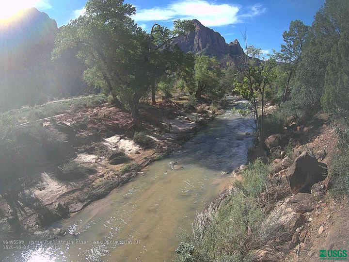
Webcams near Bridge Mountain

Towns near Bridge Mountain
- Springdale4.4 km away
- Hurricane29 km away
- Fredonia48 km away
- Washington49 km away
- Cedar City53 km away
- Saint George56 km away