Mountains in Singapore
Bukit Timah
164 m537 ft
Hill · Singapore
Bukit Timah Hill is the highest natural peak in Singapore. It is located in Bukit Panjang rather than its namesake district and its altitude is 164 metres above sea level.
From Wikipedia, CC BY-SA · Read the article
The highest point of Singapore
At the summit · forecast for 10:00 AM
26 °CLight rain · wind 4 km/h from the W
 See it in 3D
Weather at the summit of Bukit Timah, 164 m
- 10:00 AM26 °CW 4 km/h0.1 mm
- 1:00 PM31 °CE 9 km/h8.4 mm
- 4:00 PM26 °CN 8 km/h1.6 mm
- 7:00 PM25 °CW 7 km/h5 mm
- 10:00 PM23 °CS 9 km/h1.5 mm
- 1:00 AM23 °CNE 6 km/h–
- 4:00 AM23 °CN 6 km/h–
- 7:00 AM22 °CSW 4 km/h0.1 mm
| Day | Sky | High / low | Rain | Wind up to |
|---|---|---|---|---|
| Today | Heavy rain | 31 °C / 23 °C | 16.2 mm | 9 km/h |
| Thu, Oct 29 | Heavy rain | 29 °C / 22 °C | 37.8 mm | 12 km/h |
| Fri, Oct 30 | Rain | 30 °C / 22 °C | 5.4 mm | 8 km/h |
| Sat, Oct 31 | Rain | 31 °C / 23 °C | 2.5 mm | 5 km/h |
| Sun, Nov 1 | Rain | 29 °C / 23 °C | 7.2 mm | 8 km/h |
| Mon, Nov 2 | Rain | 27 °C / 24 °C | 8.8 mm | 8 km/h |
| Tue, Nov 3 | Rain | 28 °C / 23 °C | 5.3 mm | 4 km/h |
Forecast by MET Norway (CC BY 4.0), updated 07:19 PM GMT+8. Times are local.
Facts
- What it is
- Hill
- Height above sea level
- 164 m (537 ft)
- Country
- Singapore
- Highest point of
- Singapore
- Coordinates
- 1.355°N 103.776°E
- Source
- Wikidata, CC0
Peaks near Bukit Timah
- Jurong Hill60 m · 8.6 km awayOn the map
- Mount Faber105 m · 10 km awayOn the map
- Mount Pulai654 m · 37 km awayOn the map
- Bukit ChanduHill · 8.6 km awayOn the map
- Pearl's HillHill · 10 km awayOn the map
- Duxton HillMountain · 11 km awayOn the map
- Mount PalmerHill · 12 km awayOn the map
Highest mountains in Singapore
- Bukit Timah164 mOn the map
- Mount Faber105 mOn the map
- Jurong Hill60 mOn the map
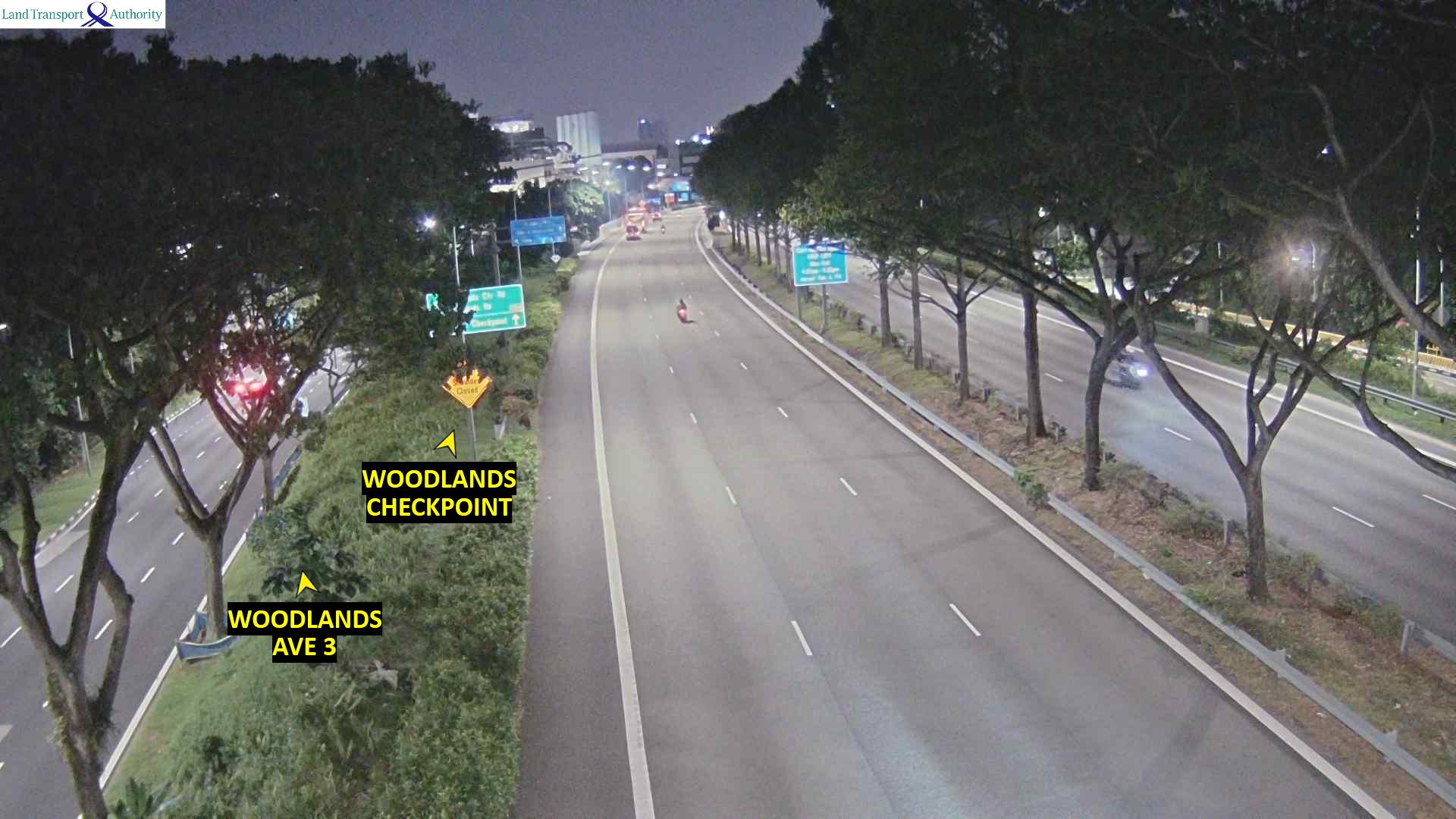
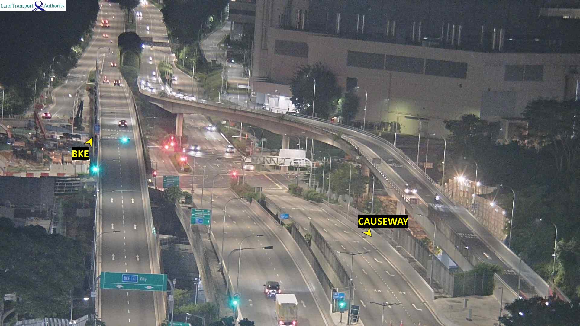
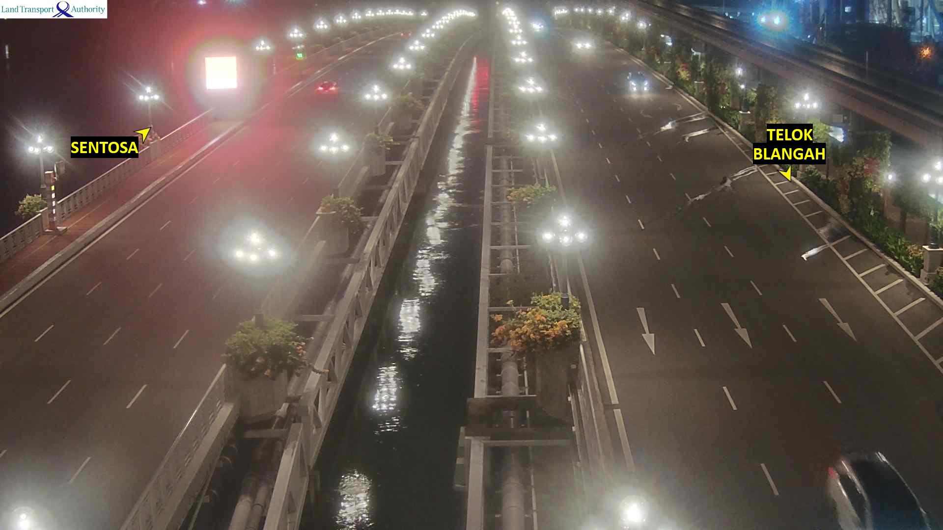
Webcams near Bukit Timah

History around Bukit Timah
- The 2018 North Korea–United States summit is held in Singapore2018
- Battle of Singapore1942
- CCP general secretary Xi Jinping and ROC president Ma Ying-jeou formally meet for the first time2015
- The 2010 Summer Youth Olympics, the first of the Youth Olympic Games2010
- 25 January and 7 February - Adrian Lim, a self-professed medium, Catherine Tan Mui Choo and Hoe Kah Hong murders two children as "sacrifices" in a case known…1981
- 2026 Chinatown car accident2026
- 2024 East–West Line disruption2024
- 2020 dengue outbreak in Singapore2020
Towns near Bukit Timah
- Anak Bukit1.6 km away
- Bukit Panjang New Town3.1 km away
- Bukit Timah3.4 km away
- Teck Whye3.9 km away
- Choa Chu Kang New Town4.3 km away
- Keat Hong Village4.4 km away