Mountains in Iceland
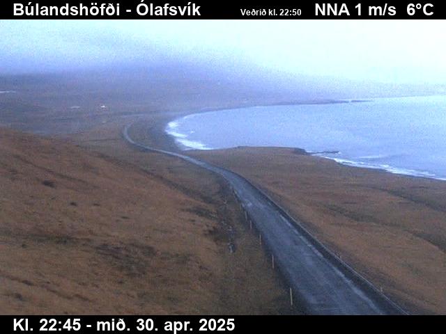
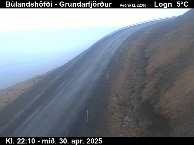
Búlandshöfði
326 m1,070 ft
Mountain · Iceland
At the summit · forecast for 1:00 AM
1 °CCloudy · wind 15 km/h from the N
 See it in 3D
Weather at the summit of Búlandshöfði, 326 m
- 1:00 AM1 °CN 15 km/h1.2 mm
- 4:00 AM3 °CNE 30 km/h1.6 mm
- 7:00 AM4 °CNE 37 km/h2.1 mm
- 10:00 AM4 °CNE 37 km/h2.7 mm
- 1:00 PM4 °CNE 33 km/h0.4 mm
- 4:00 PM4 °CNE 30 km/h0.3 mm
- 7:00 PM4 °CNE 33 km/h0.2 mm
- 10:00 PM3 °CNE 32 km/h–
| Day | Sky | High / low | Rain | Wind up to |
|---|---|---|---|---|
| Today | Light rain | 4 °C / 1 °C | 8.5 mm | 39 km/h |
| Wed, Oct 28 | Partly cloudy | 3 °C / 0 °C | – | 29 km/h |
| Thu, Oct 29 | Cloudy | 7 °C / 2 °C | 11.4 mm | 45 km/h |
| Fri, Oct 30 | Rain | 4 °C / 2 °C | 8.4 mm | 17 km/h |
| Sat, Oct 31 | Rain | 4 °C / 3 °C | 9.2 mm | 30 km/h |
| Sun, Nov 1 | Light rain | 5 °C / 2 °C | 6.6 mm | 19 km/h |
| Mon, Nov 2 | Rain | 7 °C / 3 °C | 13.1 mm | 23 km/h |
Forecast by MET Norway (CC BY 4.0), updated 01:17 AM GMT. Times are local.
Facts
- What it is
- Mountain
- Height above sea level
- 326 m (1,070 ft)
- Country
- Iceland
- Coordinates
- 64.940°N 23.476°W
- Source
- Wikidata, CC0
Peaks near Búlandshöfði
- Kirkjufell463 m · 7.9 km awayOn the map
- Helgrindur986 m · 13 km awayOn the map
- Snæfellsjökull1,446 m · 21 km awayOn the map
- Helgafell73 m · 37 km awayOn the map
- Kaldnasi988 m · 8.5 km awayOn the map
- Mælifell566 m · 10 km awayOn the map
- LýsuskarðMountain · 12 km awayOn the map
- mountain-15677520418 m · 13 km awayOn the map
- mountain-16430576427 m · 18 km awayOn the map
- Stapafell521 m · 20 km awayOn the map
Highest mountains in Iceland
- Öræfajökull2,110 mOn the map
- Highlands of Iceland2,110 mOn the map
- Hvannadalshnúkur2,110 mOn the map
- Bárðarbunga2,010 mOn the map
- Kverkfjöll1,933 mOn the map
- Hrútsfjallstindar1,875 mOn the map
- Snæfell1,833 mOn the map
- Esjufjöll1,760 mOn the map
- Grímsvötn1,725 mOn the map
- Herðubreið1,682 mOn the map